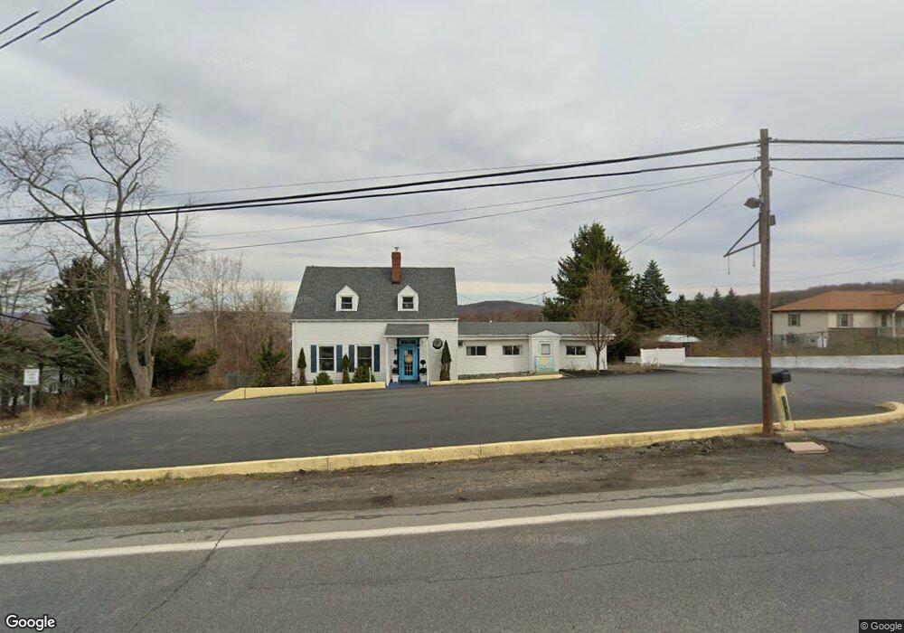
1582 Newton Ransom Blvd Clarks Summit, PA 18411
Estimated Value: $271,530
--
Bed
--
Bath
2,068
Sq Ft
$131/Sq Ft
Est. Value
About This Home
This home is located at 1582 Newton Ransom Blvd, Clarks Summit, PA 18411 and is currently estimated at $271,530, approximately $131 per square foot. 1582 Newton Ransom Blvd is a home located in Lackawanna County with nearby schools including Abington Heights High School, Abington Christian Academy, and Our Lady Of Peace School.
Ownership History
Date
Name
Owned For
Owner Type
Purchase Details
Closed on
Feb 5, 2015
Sold by
Dickert Robert and Dickert Margaret
Bought by
Hawk Enterprises Llc
Current Estimated Value
Home Financials for this Owner
Home Financials are based on the most recent Mortgage that was taken out on this home.
Original Mortgage
$100,000
Outstanding Balance
$76,309
Interest Rate
3.66%
Mortgage Type
Commercial
Estimated Equity
$195,221
Create a Home Valuation Report for This Property
The Home Valuation Report is an in-depth analysis detailing your home's value as well as a comparison with similar homes in the area
Home Values in the Area
Average Home Value in this Area
Purchase History
| Date | Buyer | Sale Price | Title Company |
|---|---|---|---|
| Hawk Enterprises Llc | $140,000 | None Available |
Source: Public Records
Mortgage History
| Date | Status | Borrower | Loan Amount |
|---|---|---|---|
| Open | Hawk Enterprises Llc | $100,000 |
Source: Public Records
Tax History Compared to Growth
Tax History
| Year | Tax Paid | Tax Assessment Tax Assessment Total Assessment is a certain percentage of the fair market value that is determined by local assessors to be the total taxable value of land and additions on the property. | Land | Improvement |
|---|---|---|---|---|
| 2025 | $2,994 | $12,300 | $1,800 | $10,500 |
| 2024 | $2,472 | $12,300 | $1,800 | $10,500 |
| 2023 | $2,472 | $12,300 | $1,800 | $10,500 |
| 2022 | $2,421 | $12,300 | $1,800 | $10,500 |
| 2021 | $2,421 | $12,300 | $1,800 | $10,500 |
| 2020 | $2,421 | $12,300 | $1,800 | $10,500 |
| 2019 | $2,341 | $12,300 | $1,800 | $10,500 |
| 2018 | $2,320 | $12,300 | $1,800 | $10,500 |
| 2017 | $2,307 | $12,300 | $1,800 | $10,500 |
| 2016 | $1,298 | $12,300 | $1,800 | $10,500 |
| 2015 | -- | $10,800 | $1,800 | $9,000 |
| 2014 | -- | $10,800 | $1,800 | $9,000 |
Source: Public Records
Map
Nearby Homes
- 0 Blvd
- 1502 Forest Acres Dr
- 1215 Country Club Rd
- 52 Ivywood Dr Unit L 6
- 9119 Valley View Dr
- 9109 Valley View Dr
- 1736 Falls Rd
- 0 Milwaukee Rd Unit GSBSC254290
- 101 Carriage Ln
- 162 Highland Rd
- Lot 10 Colvin Estates
- 812 Old Winola Rd
- 604 Oak Ln
- V1112 Sylvia St
- 630 Sunset St
- 300 Earl St
- 10 Coolidge Ave
- 112 Woodside Dr
- 803 W Grove St
- 1932 Newton Ransom Blvd
- 1580 Newton Ransom Blvd
- 14003 Airport Dr
- 1607 Newton Ransom Blvd
- 14005 Airport Dr
- 1609 Newton Ransom Blvd
- 1579 Newton Ransom Blvd
- 14008 Airport Dr
- 1611 Newton Ransom Blvd
- 1606 Newton Ransom Blvd
- 1006 Whippoorwill Dr
- 1577 Newton Ransom Blvd
- 1613 Newton Ransom Blvd
- 1007 Whippoorwill Dr
- 1605 Newton Ransom Blvd
- 1575 Newton Ransom Blvd
- 1005 Whippoorwill Dr
- 1008 Whippoorwill Dr
- 440 Lr
- 1571 Newton Ransom Blvd
- 1003 Whippoorwill Dr