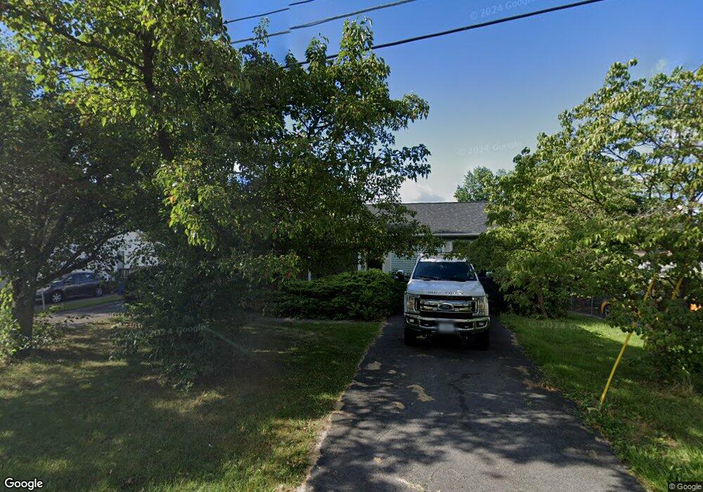
1582 Woodstock Ln Winchester, VA 22602
Estimated Value: $357,000 - $378,000
3
Beds
3
Baths
1,344
Sq Ft
$274/Sq Ft
Est. Value
About This Home
This home is located at 1582 Woodstock Ln, Winchester, VA 22602 and is currently estimated at $368,742, approximately $274 per square foot. 1582 Woodstock Ln is a home located in Frederick County with nearby schools including Admiral Richard E. Byrd Middle School, Millbrook High School, and Sharon's Centre.
Ownership History
Date
Name
Owned For
Owner Type
Purchase Details
Closed on
Nov 19, 2013
Sold by
Corbin Luewilda L
Bought by
Boswell Lexi M
Current Estimated Value
Home Financials for this Owner
Home Financials are based on the most recent Mortgage that was taken out on this home.
Original Mortgage
$117,346
Outstanding Balance
$87,545
Interest Rate
4.24%
Mortgage Type
New Conventional
Estimated Equity
$281,197
Create a Home Valuation Report for This Property
The Home Valuation Report is an in-depth analysis detailing your home's value as well as a comparison with similar homes in the area
Home Values in the Area
Average Home Value in this Area
Purchase History
| Date | Buyer | Sale Price | Title Company |
|---|---|---|---|
| Boswell Lexi M | $130,000 | -- |
Source: Public Records
Mortgage History
| Date | Status | Borrower | Loan Amount |
|---|---|---|---|
| Open | Boswell Lexi M | $117,346 |
Source: Public Records
Tax History Compared to Growth
Tax History
| Year | Tax Paid | Tax Assessment Tax Assessment Total Assessment is a certain percentage of the fair market value that is determined by local assessors to be the total taxable value of land and additions on the property. | Land | Improvement |
|---|---|---|---|---|
| 2025 | $1,634 | $340,500 | $93,000 | $247,500 |
| 2024 | $736 | $288,600 | $77,000 | $211,600 |
| 2023 | $1,472 | $288,600 | $77,000 | $211,600 |
| 2022 | $1,450 | $237,700 | $72,000 | $165,700 |
| 2021 | $1,450 | $237,700 | $72,000 | $165,700 |
| 2020 | $1,335 | $218,800 | $72,000 | $146,800 |
| 2019 | $1,335 | $218,800 | $72,000 | $146,800 |
| 2018 | $1,241 | $203,500 | $72,000 | $131,500 |
| 2017 | $1,221 | $203,500 | $72,000 | $131,500 |
| 2016 | $595 | $186,000 | $59,500 | $126,500 |
| 2015 | $1,042 | $186,000 | $59,500 | $126,500 |
| 2014 | -- | $177,700 | $59,500 | $118,200 |
Source: Public Records
Map
Nearby Homes
- 122 Cherry Hill Cir
- 326 Lehigh Dr
- 308 Lehigh Dr
- 211 Eastside Ln
- 206 Eastside Ln
- 414 Elm St
- 405 1/2 Elm St
- 939 Woodland Ave
- 1019 Berryville Ave
- 138 Country Club Cir
- 112 Fairway Dr
- 107 Dale Ct
- 213 Crest Cir
- 1125 Conway St
- 96 Molden Dr
- 709 Ross St
- 110 Carter Place
- 713 Ross St
- 0 Senseny Rd Unit VAFV2009062
- 115 Dairy Corner Place
- 1590 Woodstock Ln
- 101 Wilkins Dr
- 103 Wilkins Dr
- 102 Whites Place
- 103 Scenic Cir
- 104 Whites Place
- 1598 Woodstock Ln
- 105 Scenic Cir
- 101 Scenic Cir
- 107 Scenic Cir
- 106 Whites Place
- 1581 Woodstock Ln
- 1591 Woodstock Ln
- 102 Wilkins Dr
- 1605 Woodstock Ln
- 108 Whites Place
- 109 Scenic Cir
- 0 Brona Dr Unit FV3462837
- 1557 Woodstock Ln
- 107 Wilkins Dr