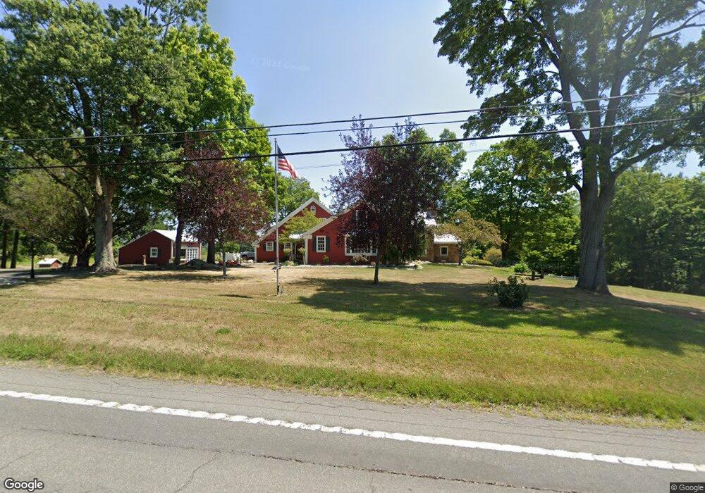
1583 State Route 60 Ashland, OH 44805
Estimated Value: $652,000 - $965,000
3
Beds
5
Baths
3,411
Sq Ft
$222/Sq Ft
Est. Value
About This Home
This home is located at 1583 State Route 60, Ashland, OH 44805 and is currently estimated at $756,317, approximately $221 per square foot. 1583 State Route 60 is a home located in Ashland County with nearby schools including Ashland High School, Ashland County Community Academy, and St. Edward Elementary School.
Ownership History
Date
Name
Owned For
Owner Type
Purchase Details
Closed on
Mar 6, 2024
Sold by
Carlos Alejandro Campo and Carlos Karen Leigh
Bought by
Shafer Michael D and Shafer Tina M
Current Estimated Value
Home Financials for this Owner
Home Financials are based on the most recent Mortgage that was taken out on this home.
Original Mortgage
$630,000
Outstanding Balance
$619,639
Interest Rate
6.69%
Mortgage Type
New Conventional
Estimated Equity
$136,678
Purchase Details
Closed on
Jun 13, 2016
Sold by
Vantilburg William D and Vantilburg June F
Bought by
Campo Carlos A Te and Campo Karen Te
Purchase Details
Closed on
Mar 17, 1998
Sold by
Winbigler Donald L
Bought by
Vantilburg William D
Purchase Details
Closed on
Aug 10, 1989
Bought by
Winbigler Donald L
Create a Home Valuation Report for This Property
The Home Valuation Report is an in-depth analysis detailing your home's value as well as a comparison with similar homes in the area
Home Values in the Area
Average Home Value in this Area
Purchase History
| Date | Buyer | Sale Price | Title Company |
|---|---|---|---|
| Shafer Michael D | $700,000 | Heartland Title | |
| Shafer Michael D | $700,000 | Heartland Title | |
| Campo Carlos A Te | $485,000 | Attorney Only | |
| Vantilburg William D | $400,000 | -- | |
| Winbigler Donald L | $95,000 | -- |
Source: Public Records
Mortgage History
| Date | Status | Borrower | Loan Amount |
|---|---|---|---|
| Open | Shafer Michael D | $630,000 | |
| Closed | Shafer Michael D | $630,000 |
Source: Public Records
Tax History Compared to Growth
Tax History
| Year | Tax Paid | Tax Assessment Tax Assessment Total Assessment is a certain percentage of the fair market value that is determined by local assessors to be the total taxable value of land and additions on the property. | Land | Improvement |
|---|---|---|---|---|
| 2024 | $6,797 | $191,130 | $25,200 | $165,930 |
| 2023 | $6,797 | $191,130 | $25,200 | $165,930 |
| 2022 | $6,212 | $136,520 | $18,000 | $118,520 |
| 2021 | $6,236 | $136,520 | $18,000 | $118,520 |
| 2020 | $5,917 | $136,520 | $18,000 | $118,520 |
| 2019 | $5,126 | $109,250 | $18,000 | $91,250 |
| 2018 | $5,144 | $109,250 | $18,000 | $91,250 |
| 2017 | $4,202 | $109,250 | $18,000 | $91,250 |
| 2016 | $4,202 | $96,690 | $15,930 | $80,760 |
| 2015 | $4,164 | $96,690 | $15,930 | $80,760 |
| 2013 | $4,402 | $100,260 | $15,340 | $84,920 |
Source: Public Records
Map
Nearby Homes
- 1457 Township Road 853
- 1435 Township Road 853
- 1446 Township Road 805
- 0 Eagle Way
- 1581 County Road 995
- 1331 Eastern Ave
- 1690 County Road 995
- 453 Hillcrest Dr
- 1015 Township Road 1696
- 1109 Eastern Ave
- 1011 Eastern Ave
- 0 Twp Rd 1806 Unit 11591470
- 31 Morgan Ave
- 416 Diamond St
- 914 Chestnut St
- 531 Keen Ave
- 208 High St
- 1583 Ohio 60
- 1587 State Route 60
- 1587 Ohio 60
- 1591 State Route 60
- 1590 State Route 60
- 1575 State Route 60
- 1590 Ohio 60
- 1592 Ohio 60
- 1582 State Route 60
- 1592 State Route 60
- 1575 Ohio 60
- 1594 State Route 60
- 1597 State Route 60
- 806 County Road 1775
- 792 Township Road 1600
- 804 County Road 1775
- 0 County Road 1775
- 795 County Road 1775
- 1568 Ohio 60
- 820 County Road 1600