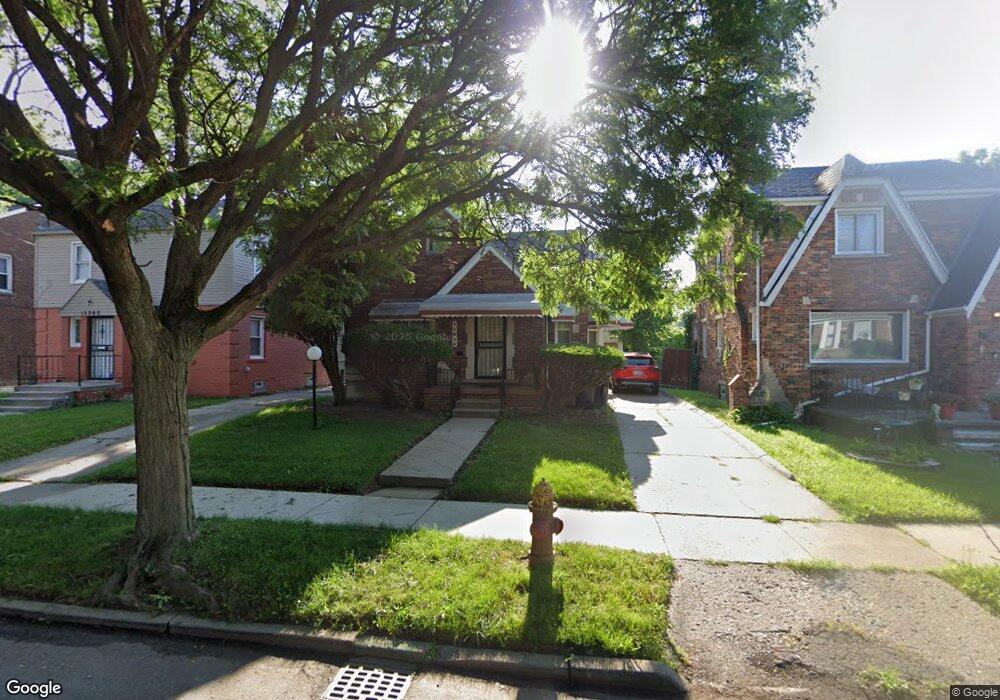
15850 Rutherford St Detroit, MI 48227
Crary-Saint Marys NeighborhoodEstimated Value: $103,554 - $119,000
--
Bed
1
Bath
1,214
Sq Ft
$93/Sq Ft
Est. Value
About This Home
This home is located at 15850 Rutherford St, Detroit, MI 48227 and is currently estimated at $113,139, approximately $93 per square foot. 15850 Rutherford St is a home located in Wayne County with nearby schools including Young Coleman A. Elementary School, John R. King Academic And Performing Arts Academy, and Charles L. Spain Elementary-Middle School.
Ownership History
Date
Name
Owned For
Owner Type
Purchase Details
Closed on
Mar 16, 2010
Sold by
Reese James C
Bought by
Reese James C and Reese Bobby Ann
Current Estimated Value
Purchase Details
Closed on
Feb 15, 2005
Sold by
Reese James C and Reese Grace M
Bought by
Reese James C
Home Financials for this Owner
Home Financials are based on the most recent Mortgage that was taken out on this home.
Original Mortgage
$121,800
Interest Rate
8.85%
Mortgage Type
New Conventional
Create a Home Valuation Report for This Property
The Home Valuation Report is an in-depth analysis detailing your home's value as well as a comparison with similar homes in the area
Home Values in the Area
Average Home Value in this Area
Purchase History
| Date | Buyer | Sale Price | Title Company |
|---|---|---|---|
| Reese James C | -- | None Available | |
| Reese James C | -- | -- |
Source: Public Records
Mortgage History
| Date | Status | Borrower | Loan Amount |
|---|---|---|---|
| Closed | Reese James C | $121,800 |
Source: Public Records
Tax History Compared to Growth
Tax History
| Year | Tax Paid | Tax Assessment Tax Assessment Total Assessment is a certain percentage of the fair market value that is determined by local assessors to be the total taxable value of land and additions on the property. | Land | Improvement |
|---|---|---|---|---|
| 2025 | $1,287 | $48,900 | $0 | $0 |
| 2024 | $1,287 | $41,600 | $0 | $0 |
| 2023 | $1,248 | $33,100 | $0 | $0 |
| 2022 | $1,368 | $27,300 | $0 | $0 |
| 2021 | $1,333 | $21,500 | $0 | $0 |
| 2020 | $1,318 | $21,400 | $0 | $0 |
| 2019 | $1,298 | $16,700 | $0 | $0 |
| 2018 | $1,105 | $14,700 | $0 | $0 |
| 2017 | $273 | $14,400 | $0 | $0 |
| 2016 | $1,273 | $16,200 | $0 | $0 |
| 2015 | $1,620 | $16,200 | $0 | $0 |
| 2013 | $2,273 | $22,732 | $0 | $0 |
| 2010 | -- | $33,328 | $978 | $32,350 |
Source: Public Records
Map
Nearby Homes
- 15835 Rutherford St
- 15866 Mansfield St
- 15786 Rutherford St
- 15785 Rutherford St
- 15786 Mansfield St
- 15763 Mansfield St
- 16146 Prevost St
- 15710 Rutherford St
- 15900 Murray Hill St
- 16232 Mansfield St
- 15721 Mansfield St
- 15508 Mansfield St
- 15762 Winthrop St
- 15515 Forrer St
- 15872 Asbury Park
- 15791 Asbury Park
- 16559 Mansfield St
- 16217 Greenfield Rd
- 15496 Winthrop St
- 15744 Ferguson St
- 15860 Rutherford St
- 15840 Rutherford St
- 15834 Rutherford St
- 15866 Rutherford St
- 15876 Rutherford St
- 15824 Rutherford St
- 15855 Prevost St
- 15843 Prevost St
- 15865 Prevost St
- 15885 Prevost St
- 15882 Rutherford St
- 15818 Rutherford St
- 15835 Prevost St
- 15851 Rutherford St
- 15875 Prevost St
- 15843 Rutherford St
- 15867 Rutherford St
- 15859 Rutherford St
- 15895 Prevost St
- 15825 Prevost St