15860 Pleasant Grove Rd Camden Point, MO 64018
Estimated Value: $431,000 - $696,745
3
Beds
3
Baths
2,788
Sq Ft
$195/Sq Ft
Est. Value
About This Home
This home is located at 15860 Pleasant Grove Rd, Camden Point, MO 64018 and is currently estimated at $544,915, approximately $195 per square foot. 15860 Pleasant Grove Rd is a home located in Platte County with nearby schools including North Platte Elementary School, North Platte Intermediate School, and North Platte Junior High School.
Ownership History
Date
Name
Owned For
Owner Type
Purchase Details
Closed on
Apr 20, 2006
Sold by
Moore Milton C and Moore Judith A
Bought by
Romesburg Jay L and Romesburg Amy A
Current Estimated Value
Create a Home Valuation Report for This Property
The Home Valuation Report is an in-depth analysis detailing your home's value as well as a comparison with similar homes in the area
Home Values in the Area
Average Home Value in this Area
Purchase History
| Date | Buyer | Sale Price | Title Company |
|---|---|---|---|
| Romesburg Jay L | -- | None Available |
Source: Public Records
Tax History Compared to Growth
Tax History
| Year | Tax Paid | Tax Assessment Tax Assessment Total Assessment is a certain percentage of the fair market value that is determined by local assessors to be the total taxable value of land and additions on the property. | Land | Improvement |
|---|---|---|---|---|
| 2025 | $4,710 | $68,330 | $2,850 | $65,480 |
| 2024 | $4,502 | $68,330 | $2,850 | $65,480 |
| 2023 | $4,502 | $68,330 | $2,850 | $65,480 |
| 2022 | $3,968 | $59,677 | $2,850 | $56,827 |
| 2021 | $3,980 | $59,677 | $2,850 | $56,827 |
| 2020 | $3,571 | $52,811 | $2,850 | $49,961 |
| 2019 | $3,571 | $52,811 | $2,850 | $49,961 |
| 2018 | $3,596 | $52,811 | $2,850 | $49,961 |
| 2017 | $3,596 | $52,811 | $2,850 | $49,961 |
| 2016 | $3,564 | $52,811 | $2,850 | $49,961 |
| 2015 | $3,563 | $52,811 | $2,850 | $49,961 |
| 2013 | $3,463 | $52,811 | $0 | $0 |
Source: Public Records
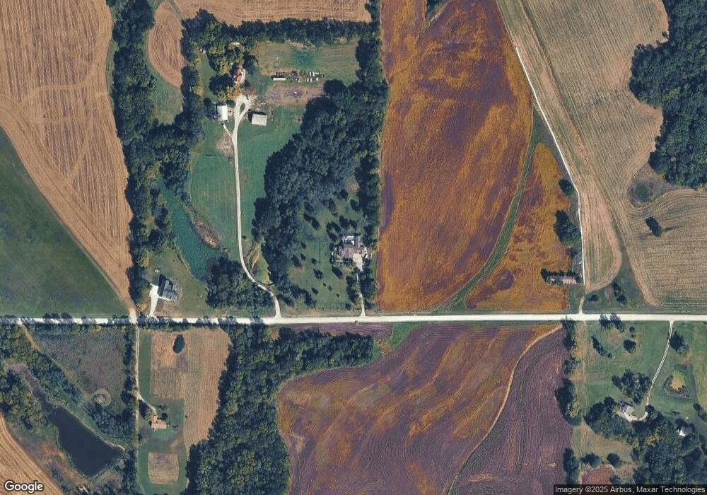
Map
Nearby Homes
- 19710 Kansas City Blvd
- 21970 Lamar Rd
- 103 Johnson Cir
- 605 E 2nd St
- 9170 E Hwy
- 24110 Highway Y N A
- 105 Wagers Cir
- 0 Cockriel Rd
- 103 Sally Cir
- 0 Missouri 273
- 300 Vine St
- 312 2nd St
- 19925 S Ridgely Rd
- 19845 S Ridgely Rd
- 22745 King Rd
- 1009 Mary Kay Ln
- 1117 1st St
- 1216 Hampton Dr
- 9 Murray Ln
- 17913 Sunset Dr
- 16000 Pleasant Grove Rd
- 16125 Pleasant Grove Rd
- 15593 Pleasant Grove Rd
- 15610 Pleasant Grove Rd
- 16350 Pleasant Grove Rd
- 15335 Pleasant Grove Rd
- 16750 Pleasant Grove Rd
- 20285 Interurban Rd
- 17 Gaines Ave
- 14 Gaines Ave
- 15 Gaines Ave
- 14820 Pleasant Grove Rd
- 12 Gaines Ave
- 20215 Interurban Rd
- 15750 County Rd E
- 13 Gaines Ave
- 1 Bush Dr
- 1 Woodson Ave
- 10 Gaines Ave
- 4 Woodson Ave