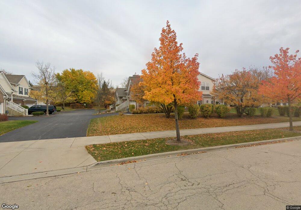
1587 Millbrook Dr Unit 1 Algonquin, IL 60102
Far West Algonquin NeighborhoodEstimated Value: $283,650 - $290,000
2
Beds
--
Bath
1,324
Sq Ft
$217/Sq Ft
Est. Value
About This Home
This home is located at 1587 Millbrook Dr Unit 1, Algonquin, IL 60102 and is currently estimated at $286,663, approximately $216 per square foot. 1587 Millbrook Dr Unit 1 is a home located in Kane County with nearby schools including Westfield Community School, Lincoln Prairie Elementary School, and Harry D Jacobs High School.
Ownership History
Date
Name
Owned For
Owner Type
Purchase Details
Closed on
Jun 1, 2006
Sold by
Centex Homes
Bought by
Maida Pablo A
Current Estimated Value
Home Financials for this Owner
Home Financials are based on the most recent Mortgage that was taken out on this home.
Original Mortgage
$187,049
Interest Rate
6.73%
Mortgage Type
FHA
Create a Home Valuation Report for This Property
The Home Valuation Report is an in-depth analysis detailing your home's value as well as a comparison with similar homes in the area
Home Values in the Area
Average Home Value in this Area
Purchase History
| Date | Buyer | Sale Price | Title Company |
|---|---|---|---|
| Maida Pablo A | $190,000 | Chicago Title Insurance Co |
Source: Public Records
Mortgage History
| Date | Status | Borrower | Loan Amount |
|---|---|---|---|
| Previous Owner | Maida Pablo A | $187,049 |
Source: Public Records
Tax History
| Year | Tax Paid | Tax Assessment Tax Assessment Total Assessment is a certain percentage of the fair market value that is determined by local assessors to be the total taxable value of land and additions on the property. | Land | Improvement |
|---|---|---|---|---|
| 2024 | $5,647 | $74,278 | $8,371 | $65,907 |
| 2023 | $5,439 | $66,833 | $7,532 | $59,301 |
| 2022 | $4,961 | $65,367 | $7,532 | $57,835 |
| 2021 | $4,805 | $61,720 | $7,112 | $54,608 |
| 2020 | $4,707 | $60,332 | $6,952 | $53,380 |
| 2019 | $4,553 | $57,274 | $6,600 | $50,674 |
| 2018 | $4,097 | $50,438 | $6,469 | $43,969 |
| 2017 | $3,915 | $47,182 | $6,051 | $41,131 |
| 2016 | $4,007 | $45,684 | $5,859 | $39,825 |
| 2015 | -- | $39,304 | $5,490 | $33,814 |
| 2014 | -- | $38,218 | $5,338 | $32,880 |
| 2013 | -- | $39,387 | $5,501 | $33,886 |
Source: Public Records
Map
Nearby Homes
- 1552 Matthew Dr Unit 1552
- 2602 Amber Ln Unit 49
- 1453 Millbrook Dr
- 0 Boyer Rd Unit MRD11328255
- 2956 Harnish Dr
- 895 Eineke Blvd
- 2069 Peach Tree Ln Unit 4116
- 2161 Burnham Ct
- 2054 Peach Tree Ln Unit 4171
- 1181 Glenmont St
- 1900 Waverly Ln
- 18 Peach Tree Ct Unit 4154
- 2051 Carlisle St
- 1221 Glenmont St
- 1231 Glenmont St
- 1233 Glenmont St
- 1237 Glenmont St
- 1239 Glenmont St
- 417 Cold Spring St
- 1141 Glenmont St
- 1587 Millbrook Dr Unit 1587
- 1585 Millbrook Dr Unit 142
- 1583 Millbrook Dr Unit 3
- 1581 Millbrook Dr Unit 4
- 1597 Millbrook Dr Unit 4
- 1591 Millbrook Dr Unit 1
- 1595 Millbrook Dr Unit 3
- 1591 Millbrook Dr Unit 1591
- 1593 Millbrook Dr Unit 2
- 1571 Millbrook Dr Unit 151
- 1573 Millbrook Dr Unit 2
- 1575 Millbrook Dr Unit 3
- 1577 Millbrook Dr Unit 4
- 1571 Millbrook Dr Unit 1
- 1605 Millbrook Dr Unit 2
- 1603 Millbrook Dr Unit 1203
- 1607 Millbrook Dr Unit 1
- 1607 Millbrook Dr Unit 1607
- 1570 Millbrook Dr Unit 3
- 1566 Millbrook Dr Unit 1
Your Personal Tour Guide
Ask me questions while you tour the home.