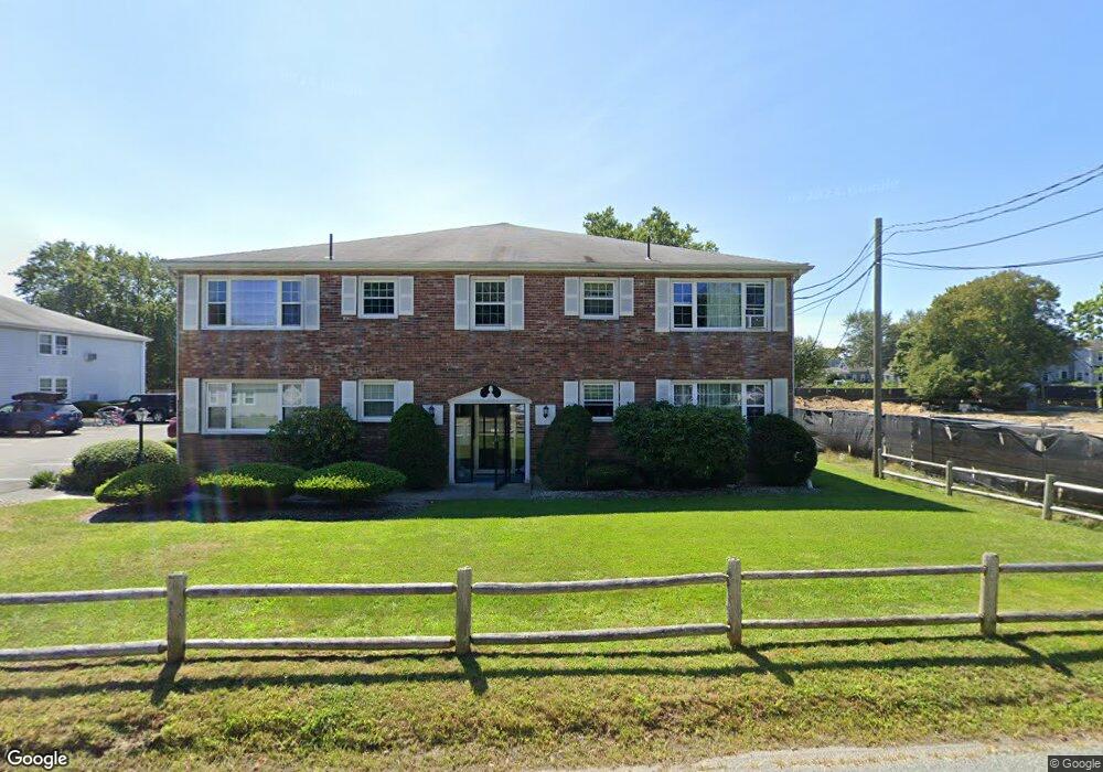
159 Center St Unit 11 Dennis Port, MA 02639
Dennis Port NeighborhoodEstimated Value: $223,000 - $424,000
1
Bed
1
Bath
650
Sq Ft
$425/Sq Ft
Est. Value
About This Home
This home is located at 159 Center St Unit 11, Dennis Port, MA 02639 and is currently estimated at $276,540, approximately $425 per square foot. 159 Center St Unit 11 is a home located in Barnstable County with nearby schools including Dennis-Yarmouth Regional High School and St. Pius X. School.
Ownership History
Date
Name
Owned For
Owner Type
Purchase Details
Closed on
Aug 14, 1998
Sold by
Webb William E and Webb Barbara L
Bought by
Patrick Jeffrey M
Current Estimated Value
Home Financials for this Owner
Home Financials are based on the most recent Mortgage that was taken out on this home.
Original Mortgage
$43,700
Outstanding Balance
$9,133
Interest Rate
6.94%
Mortgage Type
Purchase Money Mortgage
Estimated Equity
$267,408
Create a Home Valuation Report for This Property
The Home Valuation Report is an in-depth analysis detailing your home's value as well as a comparison with similar homes in the area
Home Values in the Area
Average Home Value in this Area
Purchase History
| Date | Buyer | Sale Price | Title Company |
|---|---|---|---|
| Patrick Jeffrey M | $46,000 | -- |
Source: Public Records
Mortgage History
| Date | Status | Borrower | Loan Amount |
|---|---|---|---|
| Open | Patrick Jeffrey M | $10,000 | |
| Open | Patrick Jeffrey M | $43,700 |
Source: Public Records
Tax History Compared to Growth
Tax History
| Year | Tax Paid | Tax Assessment Tax Assessment Total Assessment is a certain percentage of the fair market value that is determined by local assessors to be the total taxable value of land and additions on the property. | Land | Improvement |
|---|---|---|---|---|
| 2025 | $928 | $214,400 | $0 | $214,400 |
| 2024 | $873 | $198,800 | $0 | $198,800 |
| 2023 | $721 | $154,300 | $0 | $154,300 |
| 2022 | $760 | $135,700 | $0 | $135,700 |
| 2021 | $746 | $123,700 | $0 | $123,700 |
| 2020 | $725 | $118,900 | $0 | $118,900 |
| 2019 | $594 | $96,200 | $0 | $96,200 |
| 2018 | $581 | $91,700 | $0 | $91,700 |
| 2017 | $564 | $91,700 | $0 | $91,700 |
| 2016 | $408 | $62,500 | $0 | $62,500 |
| 2015 | $400 | $62,500 | $0 | $62,500 |
| 2014 | $397 | $62,500 | $0 | $62,500 |
Source: Public Records
Map
Nearby Homes
- 159 Center St Unit 22
- 12 Cross St
- 26 Manning Rd
- 73 Division St
- 148 Belmont Rd
- 47 Telegraph Rd Unit 1
- 10 Candlewood Ln Unit 2-1
- 12 Candlewood Ln Unit 2-9
- 40 Willow St
- 9 Country Ln
- 141 Division St
- 141 Division St
- 3 Fairbanks Dr
- 45 Route 28
- 11 Ocean Park W
- 79 Massachusetts 28
- 102 Sea St
- 1 Belmont Rd Unit 630
- 159 Center St Unit 4
- 159 Center St Unit 6
- 159 Center St Unit 12
- 159 Center St Unit 7
- 159 Center St Unit 23
- 159 Center St Unit 8
- 159 Center St Unit 2
- 159 Center St Unit 1
- 159 Center St Unit 3
- 159 Center St Unit 5
- 159 Center St
- 159 Center St Unit 20
- 159 Center St Unit 15
- 159 Center St Unit 10
- 163 Center St
- 163 Center St Unit 12A
- 163 Center St Unit 22
- 163 Center St Unit 20
- 163 Center St Unit 14
- 163 Center St Unit 24