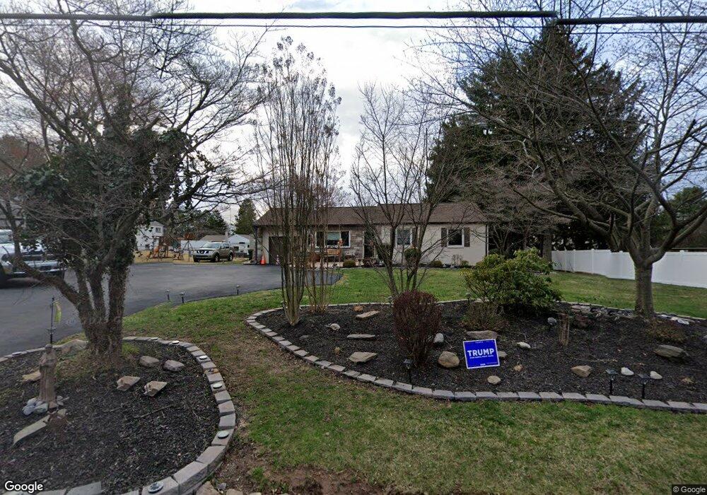
159 Davisville Rd Southampton, PA 18966
Estimated Value: $484,000 - $558,000
3
Beds
2
Baths
1,892
Sq Ft
$271/Sq Ft
Est. Value
About This Home
This home is located at 159 Davisville Rd, Southampton, PA 18966 and is currently estimated at $513,614, approximately $271 per square foot. 159 Davisville Rd is a home located in Bucks County with nearby schools including Davis Elementary School, Klinger Middle School, and William Tennent High School.
Ownership History
Date
Name
Owned For
Owner Type
Purchase Details
Closed on
Aug 27, 2012
Sold by
Borko George S and Borko Diane M
Bought by
Borko George S and Borko Diane M
Current Estimated Value
Home Financials for this Owner
Home Financials are based on the most recent Mortgage that was taken out on this home.
Original Mortgage
$241,554
Outstanding Balance
$167,067
Interest Rate
3.56%
Mortgage Type
FHA
Estimated Equity
$346,547
Purchase Details
Closed on
Sep 24, 2010
Sold by
Lange Sherri A
Bought by
Borko George S and Guinter Diane M
Home Financials for this Owner
Home Financials are based on the most recent Mortgage that was taken out on this home.
Original Mortgage
$246,578
Interest Rate
5.25%
Mortgage Type
FHA
Purchase Details
Closed on
Jul 31, 2007
Sold by
Breuer Ruth E
Bought by
Lange Sherri A
Home Financials for this Owner
Home Financials are based on the most recent Mortgage that was taken out on this home.
Original Mortgage
$220,000
Interest Rate
6.78%
Mortgage Type
Purchase Money Mortgage
Create a Home Valuation Report for This Property
The Home Valuation Report is an in-depth analysis detailing your home's value as well as a comparison with similar homes in the area
Home Values in the Area
Average Home Value in this Area
Purchase History
| Date | Buyer | Sale Price | Title Company |
|---|---|---|---|
| Borko George S | -- | None Available | |
| Borko George S | $249,900 | None Available | |
| Lange Sherri A | $275,000 | None Available |
Source: Public Records
Mortgage History
| Date | Status | Borrower | Loan Amount |
|---|---|---|---|
| Open | Borko George S | $241,554 | |
| Closed | Borko George S | $246,578 | |
| Previous Owner | Lange Sherri A | $220,000 |
Source: Public Records
Tax History Compared to Growth
Tax History
| Year | Tax Paid | Tax Assessment Tax Assessment Total Assessment is a certain percentage of the fair market value that is determined by local assessors to be the total taxable value of land and additions on the property. | Land | Improvement |
|---|---|---|---|---|
| 2025 | $5,561 | $26,000 | $5,040 | $20,960 |
| 2024 | $5,561 | $26,000 | $5,040 | $20,960 |
| 2023 | $5,392 | $26,000 | $5,040 | $20,960 |
| 2022 | $5,278 | $26,000 | $5,040 | $20,960 |
| 2021 | $5,183 | $26,000 | $5,040 | $20,960 |
| 2020 | $5,112 | $26,000 | $5,040 | $20,960 |
| 2019 | $4,923 | $26,000 | $5,040 | $20,960 |
| 2018 | $4,810 | $26,000 | $5,040 | $20,960 |
| 2017 | $4,674 | $26,000 | $5,040 | $20,960 |
| 2016 | $4,674 | $26,000 | $5,040 | $20,960 |
| 2015 | -- | $26,000 | $5,040 | $20,960 |
| 2014 | -- | $26,000 | $5,040 | $20,960 |
Source: Public Records
Map
Nearby Homes
- 43 Davisville Rd
- 185 Toll Dr
- 725 E County Line Rd
- 620 Constitutional Dr
- 325 Toll Dr
- 377 Holly Dr
- 2325 Pioneer Rd
- 551 Revolutionary Way
- 4145 Thistlewood Rd
- 475 Constitutional Dr
- 530 Andrew Dr
- 2015 Butternut Dr
- 136 Washington Dr
- 415 New Rd
- 609 Stewart Rd
- 766 Meadow Dr
- 117 Maple Ave
- 205 Willard Rd
- 206 E Hampton Crossing
- 665 Whirlaway Dr
- 12 Laurel Rd
- 15 Chestnut Rd
- 26 Laurel Rd
- 170 Davisville Rd
- 36 Laurel Rd
- 35 Chestnut Rd
- 15 Laurel Rd
- 174 Davisville Rd
- 10 Chestnut Rd
- 20 Chestnut Rd
- 46 Laurel Rd
- 25 Laurel Rd
- 219 Davisville Rd
- 45 Chestnut Rd
- 30 Chestnut Rd
- 35 Laurel Rd
- 176 Davisville Rd Unit 4
- 176 Davisville Rd Unit 1
- 176 Davisville Rd Unit 3
- 176 Davisville Rd Unit 5