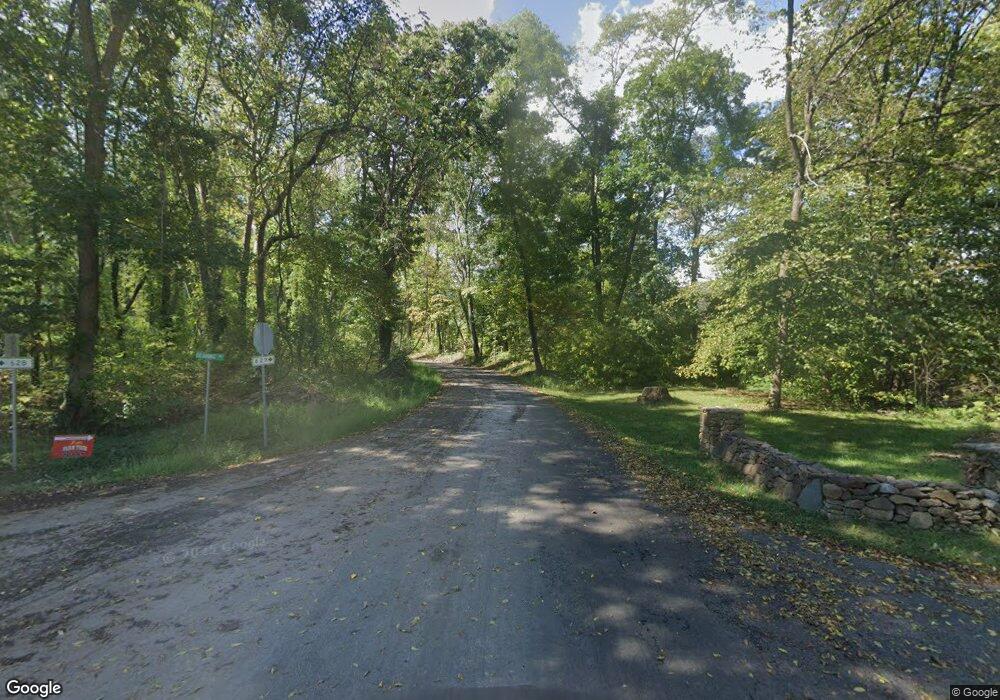
159 Dearing Rd Flint Hill, VA 22627
Estimated Value: $639,000 - $711,000
3
Beds
1
Bath
1,300
Sq Ft
$519/Sq Ft
Est. Value
About This Home
This home is located at 159 Dearing Rd, Flint Hill, VA 22627 and is currently estimated at $675,100, approximately $519 per square foot. 159 Dearing Rd is a home located in Rappahannock County with nearby schools including Rappahannock County Elementary School, Rappahannock County High School, and Wakefield Country Day School.
Ownership History
Date
Name
Owned For
Owner Type
Purchase Details
Closed on
Dec 27, 2021
Sold by
Jenkins Edward C and Jenkins Sandra Lee
Bought by
Sands Michael W and Sands Elizabeth L
Current Estimated Value
Home Financials for this Owner
Home Financials are based on the most recent Mortgage that was taken out on this home.
Original Mortgage
$504,000
Outstanding Balance
$463,548
Interest Rate
3.11%
Mortgage Type
New Conventional
Estimated Equity
$211,552
Purchase Details
Closed on
Aug 14, 2008
Sold by
Jenkins Edwad C and Jenkins Sandra L
Bought by
Jenkins Edward C and Jenkins Sandra Lee
Create a Home Valuation Report for This Property
The Home Valuation Report is an in-depth analysis detailing your home's value as well as a comparison with similar homes in the area
Purchase History
| Date | Buyer | Sale Price | Title Company |
|---|---|---|---|
| Sands Michael W | $560,000 | Chicago Title Insurance Co | |
| Jenkins Edward C | -- | None Available | |
| Jenkins Edward C | -- | None Available |
Source: Public Records
Mortgage History
| Date | Status | Borrower | Loan Amount |
|---|---|---|---|
| Open | Sands Michael W | $504,000 |
Source: Public Records
Tax History Compared to Growth
Tax History
| Year | Tax Paid | Tax Assessment Tax Assessment Total Assessment is a certain percentage of the fair market value that is determined by local assessors to be the total taxable value of land and additions on the property. | Land | Improvement |
|---|---|---|---|---|
| 2025 | $1,950 | $463,800 | $259,400 | $204,400 |
| 2024 | $1,888 | $463,800 | $259,400 | $204,400 |
| 2023 | $1,888 | $463,800 | $259,400 | $204,400 |
| 2022 | $1,857 | $463,800 | $259,400 | $204,400 |
| 2021 | $1,730 | $391,300 | $249,400 | $141,900 |
| 2020 | $1,730 | $391,300 | $249,400 | $141,900 |
| 2019 | $1,730 | $391,300 | $249,400 | $141,900 |
| 2018 | $666 | $391,300 | $249,400 | $141,900 |
| 2017 | $666 | $0 | $0 | $0 |
| 2016 | -- | $391,300 | $0 | $0 |
| 2015 | -- | $450,100 | $299,200 | $150,900 |
| 2014 | -- | $450,100 | $299,200 | $150,900 |
Source: Public Records
Map
Nearby Homes
- 156 Bear Wallow Rd
- 0 Woodlands Dr Unit VARP2001854
- 675 Zachary Taylor Hwy
- 18 Bolton Branch Ln
- 290 Riley Hollow Rd
- 521 Dearing Rd
- 13886 Crest Hill Rd
- 200 Fogg Mountain Ln
- 18 Old Mill Rd
- 0 Harris Hollow Rd Unit VARP2002304
- 7 Skyline Ln
- 0 Tiger Valley Rd Unit VARP2002288
- 82 Broad Run Rd
- 0 Apache Trail Unit VARP2001638
- 46 Rock Ridge Ln
- 0 0 Unit VARP2002068
- 0 Lee Hwy Unit VARP2002294
- 0 Lee Hwy Unit VACU2011884
- 0 Gid Brown Hollow Unit VARP2002378
- 130 Highland Way
- 209 Dearing Rd
- 217 Dearing Rd
- 100 Dearing Rd
- 30 Over Jordan Farm Ln
- 180 Dearing Rd
- 128 Dearing Rd
- 77 Bear Wallow Rd
- 231 Dearing Rd
- 277 Dearing Rd
- 217 Resettlement Rd
- 15 Over Jordan Farm Ln
- 243 Dearing Rd
- 240 Dearing Rd
- 216 Resettlement Rd
- 201 Resettlement Rd
- 250 Dearing Rd Unit A
- 250 Dearing Rd
- 187 Resettlement Rd
- 273 Dearing Rd
- 71 Bear Wallow Rd
