Estimated Value: $397,000 - $488,000
3
Beds
2
Baths
1,538
Sq Ft
$294/Sq Ft
Est. Value
About This Home
This home is located at 159 Goboro Rd, Epsom, NH 03234 and is currently estimated at $452,597, approximately $294 per square foot. 159 Goboro Rd is a home located in Merrimack County with nearby schools including Epsom Central School, Cornerstone Christian Academy, and Epsom Better Buddies.
Ownership History
Date
Name
Owned For
Owner Type
Purchase Details
Closed on
Jun 15, 2018
Sold by
Rogers Linda C and Rogers William C
Bought by
Avery Barbara J and Avery Harvey H
Current Estimated Value
Home Financials for this Owner
Home Financials are based on the most recent Mortgage that was taken out on this home.
Original Mortgage
$225,400
Outstanding Balance
$192,862
Interest Rate
4.5%
Estimated Equity
$259,735
Create a Home Valuation Report for This Property
The Home Valuation Report is an in-depth analysis detailing your home's value as well as a comparison with similar homes in the area
Home Values in the Area
Average Home Value in this Area
Purchase History
| Date | Buyer | Sale Price | Title Company |
|---|---|---|---|
| Avery Barbara J | $245,000 | -- |
Source: Public Records
Mortgage History
| Date | Status | Borrower | Loan Amount |
|---|---|---|---|
| Open | Avery Barbara J | $225,400 |
Source: Public Records
Tax History
| Year | Tax Paid | Tax Assessment Tax Assessment Total Assessment is a certain percentage of the fair market value that is determined by local assessors to be the total taxable value of land and additions on the property. | Land | Improvement |
|---|---|---|---|---|
| 2025 | $8,217 | $468,500 | $188,600 | $279,900 |
| 2024 | $6,852 | $257,200 | $101,300 | $155,900 |
| 2023 | $6,335 | $257,200 | $101,300 | $155,900 |
| 2022 | $6,132 | $257,200 | $101,300 | $155,900 |
| 2021 | $6,080 | $257,200 | $101,300 | $155,900 |
| 2020 | $5,615 | $257,200 | $101,300 | $155,900 |
| 2019 | $5,870 | $216,700 | $83,700 | $133,000 |
| 2018 | $5,628 | $216,700 | $83,700 | $133,000 |
| 2017 | $5,568 | $216,900 | $83,700 | $133,200 |
| 2016 | $5,429 | $216,900 | $83,700 | $133,200 |
| 2015 | $5,167 | $216,900 | $83,700 | $133,200 |
| 2014 | $4,512 | $202,700 | $78,500 | $124,200 |
| 2013 | $4,575 | $202,700 | $78,500 | $124,200 |
Source: Public Records
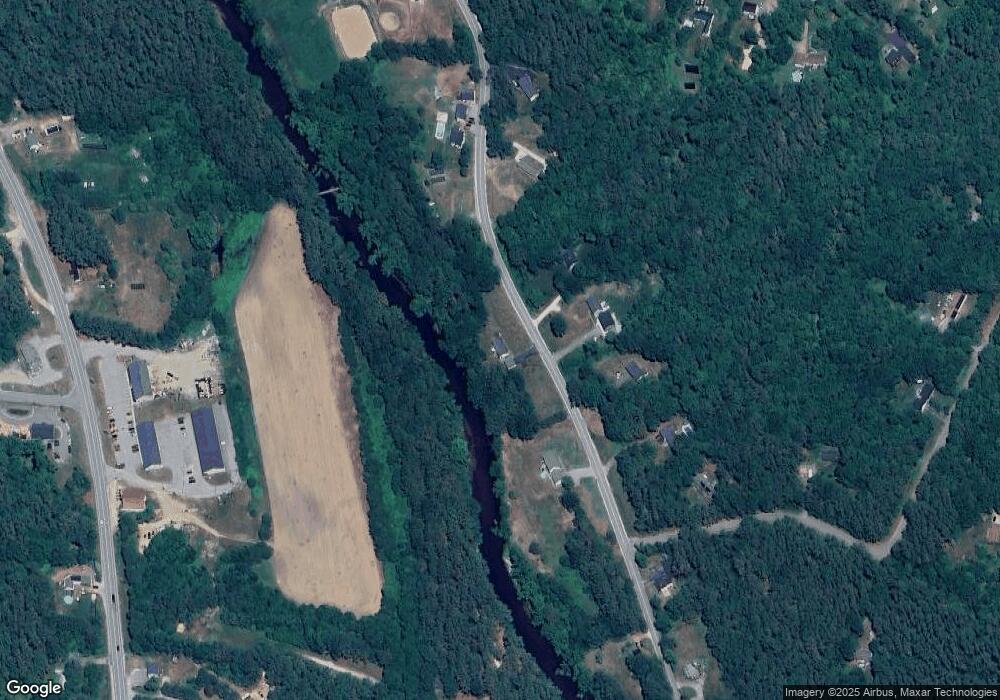
Map
Nearby Homes
- 38 Range Rd
- 88 Old Town Road Extension
- 520 Goboro Rd
- 43 Cross Rd
- 5 Old Turnpike Rd
- 157 Old Turnpike Rd
- 0 Dowboro Rd Unit 11
- 9 Archer Cir
- 2 Archer Cir
- 9 Princess Ln
- 67 Swiggey Brook Rd
- 19 Meadow Lark Ln
- 74 Nh Route 107
- 27 Tyler Ave
- 1050 Dover Rd
- 0 Poor Town Rd Unit 4
- 357 New Rye Rd
- 3 Spruce Cove Rd
- 361 Dover Rd
- 18 Catamount Rd
- 158 Goboro Rd
- 162 Goboro Rd
- 149 Goboro Rd
- 150 Goboro Rd
- 148 Goboro Rd
- 184 Goboro Rd
- 185 Goboro Rd Unit EPSO M:00U08 L:00008
- 185 Goboro Rd Unit 187
- 185 Goboro Rd Unit 185-187
- 1015 Highland Dr
- 198 Goboro Rd
- 132 Goboro Rd
- 1024 Suncook Valley Hwy
- 1024 Suncook Valley Hwy Unit D-3
- 1024 Suncook Valley Hwy Unit D-3
- 1024 Suncook Valley Hwy Unit D1
- 1024 Suncook Valley Hwy
- 1024 Suncook Valley Hwy
- 1024 Suncook Valley Hwy
- 1024 Suncook Valley Hwy
Your Personal Tour Guide
Ask me questions while you tour the home.