Estimated Value: $570,000 - $634,000
3
Beds
2
Baths
1,978
Sq Ft
$312/Sq Ft
Est. Value
About This Home
This home is located at 159 Hampstead Rd Unit First and Second Flo, Derry, NH 03038 and is currently estimated at $616,583, approximately $311 per square foot. 159 Hampstead Rd Unit First and Second Flo is a home located in Rockingham County with nearby schools including East Derry Memorial Elementary School, West Running Brook Middle School, and Pinkerton Academy.
Ownership History
Date
Name
Owned For
Owner Type
Purchase Details
Closed on
Jul 7, 2022
Sold by
Waitt Cheryl
Bought by
Morgan Ashley
Current Estimated Value
Home Financials for this Owner
Home Financials are based on the most recent Mortgage that was taken out on this home.
Original Mortgage
$390,000
Outstanding Balance
$368,347
Interest Rate
5.1%
Mortgage Type
Purchase Money Mortgage
Estimated Equity
$248,236
Purchase Details
Closed on
Feb 24, 2015
Sold by
Waitt Cheryl S
Bought by
New Hampshire State Of
Purchase Details
Closed on
Jan 3, 2003
Sold by
Chiaradonna John H and Chiaradonna June R
Bought by
Waitt Cheryl
Home Financials for this Owner
Home Financials are based on the most recent Mortgage that was taken out on this home.
Original Mortgage
$249,200
Interest Rate
6.08%
Mortgage Type
Purchase Money Mortgage
Create a Home Valuation Report for This Property
The Home Valuation Report is an in-depth analysis detailing your home's value as well as a comparison with similar homes in the area
Home Values in the Area
Average Home Value in this Area
Purchase History
| Date | Buyer | Sale Price | Title Company |
|---|---|---|---|
| Morgan Ashley | $575,000 | None Available | |
| New Hampshire State Of | -- | -- | |
| Waitt Cheryl | $276,900 | -- |
Source: Public Records
Mortgage History
| Date | Status | Borrower | Loan Amount |
|---|---|---|---|
| Open | Morgan Ashley | $390,000 | |
| Previous Owner | Waitt Cheryl | $216,600 | |
| Previous Owner | Waitt Cheryl | $249,200 |
Source: Public Records
Tax History
| Year | Tax Paid | Tax Assessment Tax Assessment Total Assessment is a certain percentage of the fair market value that is determined by local assessors to be the total taxable value of land and additions on the property. | Land | Improvement |
|---|---|---|---|---|
| 2025 | $9,518 | $501,200 | $224,900 | $276,300 |
| 2024 | $9,367 | $501,200 | $224,900 | $276,300 |
| 2023 | $8,433 | $407,800 | $191,200 | $216,600 |
| 2022 | $7,765 | $407,800 | $191,200 | $216,600 |
| 2021 | $8,057 | $325,400 | $151,100 | $174,300 |
| 2020 | $7,915 | $325,200 | $151,100 | $174,100 |
| 2019 | $7,685 | $294,200 | $121,500 | $172,700 |
| 2018 | $8,276 | $294,200 | $121,500 | $172,700 |
| 2017 | $7,373 | $278,100 | $114,500 | $163,600 |
| 2016 | $7,525 | $278,100 | $114,500 | $163,600 |
| 2015 | $7,831 | $267,900 | $114,500 | $153,400 |
| 2014 | $7,882 | $267,900 | $114,500 | $153,400 |
| 2013 | $7,388 | $234,600 | $104,500 | $130,100 |
Source: Public Records
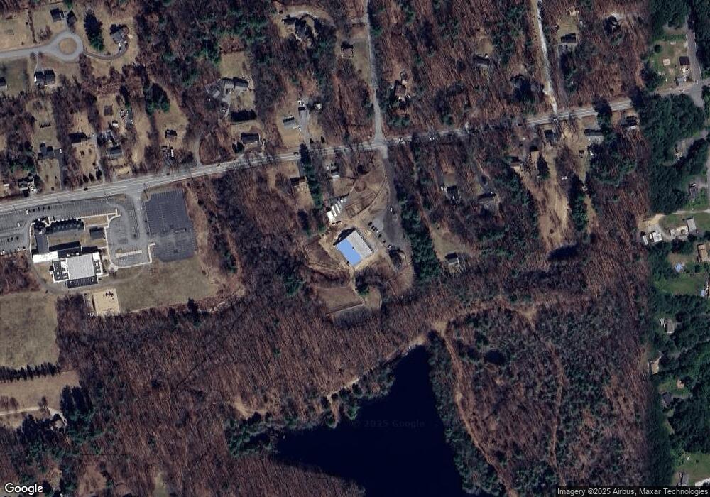
Map
Nearby Homes
- 47 Drew Woods Dr
- 3 Pine Bluff
- 15 Bonnie Ln Unit R
- 211 Hampstead Rd
- 12 Halls Village Rd
- 89 Lane Rd
- 5 Stone Fence Dr
- 18 N Shore Rd
- 4C Pine Isle Dr Unit B
- 1 Grandview Ave
- 32 Chester Rd
- 76 Tsienneto Rd
- 144 Rockingham Rd
- 7 Chester Rd Unit 212
- 4 Pembroke Dr Unit 22
- 139 Rockingham Rd Unit 21
- 5 Nesmith St
- 7 Birchwood Dr
- 9 Barkland Dr
- 0 Jack Rd
- 159 Hampstead Rd
- 157 Hampstead Rd
- 155 Hampstead Rd
- 161 Hampstead Rd
- 163 Hampstead Rd
- 144 Hampstead Rd
- 165 Hampstead Rd
- 142 Hampstead Rd
- 150 Hampstead Rd
- 25 Meadowbrook Rd
- 140 Hampstead Rd
- 167 Hampstead Rd
- 167 Hampstead Rd Unit C
- 167 Hampstead Rd Unit B
- 138 Hampstead Rd
- 152 Hampstead Rd
- 169 Hampstead Rd
- 154 Hampstead Rd
- 23 Meadowbrook Rd
- 136 Hampstead Rd
Your Personal Tour Guide
Ask me questions while you tour the home.