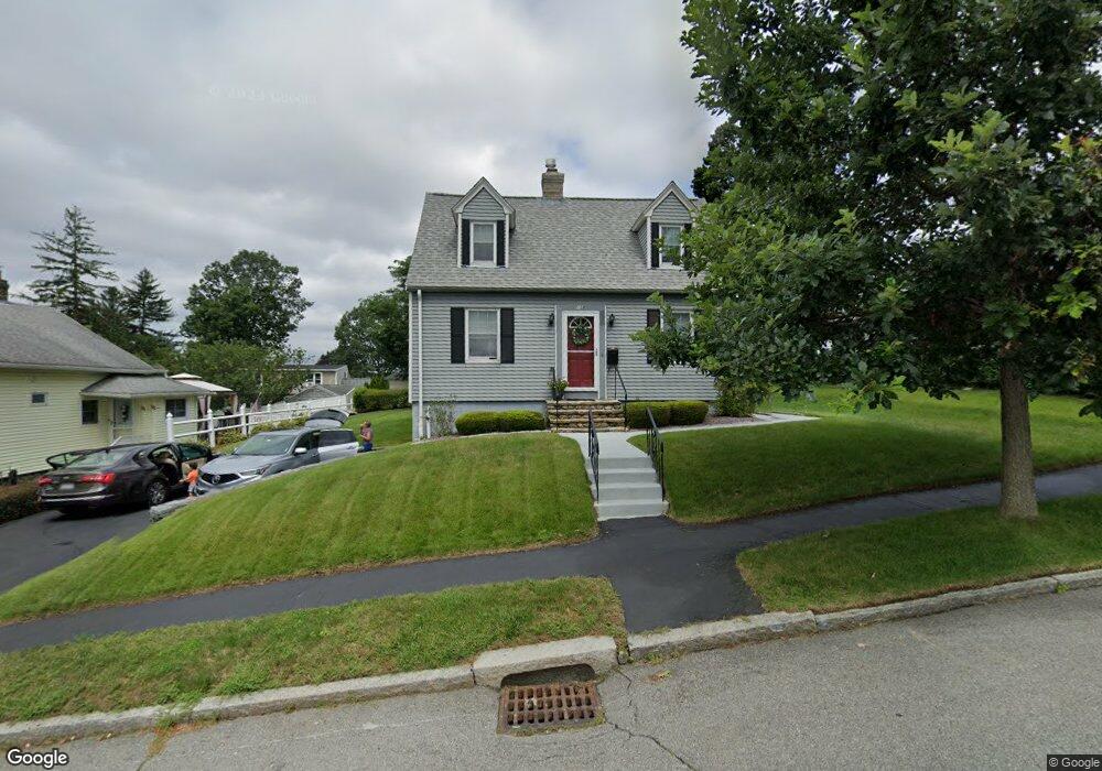
159 King Philip Rd Worcester, MA 01606
Greendale NeighborhoodEstimated Value: $384,000 - $401,000
2
Beds
1
Bath
1,155
Sq Ft
$339/Sq Ft
Est. Value
About This Home
This home is located at 159 King Philip Rd, Worcester, MA 01606 and is currently estimated at $391,203, approximately $338 per square foot. 159 King Philip Rd is a home located in Worcester County with nearby schools including Jacob Hiatt Magnet School, Chandler Magnet, and Thorndyke Road School.
Ownership History
Date
Name
Owned For
Owner Type
Purchase Details
Closed on
Aug 19, 2011
Sold by
Dagnello Angelo A and Dagnello Sharon L
Bought by
L Aa and L Dagnello T
Current Estimated Value
Create a Home Valuation Report for This Property
The Home Valuation Report is an in-depth analysis detailing your home's value as well as a comparison with similar homes in the area
Home Values in the Area
Average Home Value in this Area
Purchase History
| Date | Buyer | Sale Price | Title Company |
|---|---|---|---|
| L Aa | -- | -- |
Source: Public Records
Tax History Compared to Growth
Tax History
| Year | Tax Paid | Tax Assessment Tax Assessment Total Assessment is a certain percentage of the fair market value that is determined by local assessors to be the total taxable value of land and additions on the property. | Land | Improvement |
|---|---|---|---|---|
| 2025 | $4,370 | $331,300 | $117,900 | $213,400 |
| 2024 | $4,302 | $312,900 | $117,900 | $195,000 |
| 2023 | $4,110 | $286,600 | $102,500 | $184,100 |
| 2022 | $3,751 | $246,600 | $82,000 | $164,600 |
| 2021 | $3,510 | $215,600 | $65,600 | $150,000 |
| 2020 | $3,437 | $202,200 | $65,600 | $136,600 |
| 2019 | $3,271 | $181,700 | $59,000 | $122,700 |
| 2018 | $3,290 | $174,000 | $59,000 | $115,000 |
| 2017 | $3,141 | $163,400 | $59,000 | $104,400 |
| 2016 | $3,038 | $147,400 | $43,000 | $104,400 |
| 2015 | $2,958 | $147,400 | $43,000 | $104,400 |
| 2014 | $2,880 | $147,400 | $43,000 | $104,400 |
Source: Public Records
Map
Nearby Homes
- 3 Granville Ave
- 48 Wilkinson St
- 314 Burncoat St
- 131 Airlie St
- 80 Clark St
- 15 Ericsson St
- 40 Francis St
- 43 Fales St
- 14 Fales St
- 29 Tylee Ave
- 14 Housatonic St
- 8 Cherry Blossom Cir Unit 50
- 23 Viele Ave
- 28 Brooks St
- 276 Saint Nicholas Ave
- 68 Housatonic St
- 37 Uncatena Ave
- 30 Danielles Way
- 29 E Mountain
- 18 Danielles Way
- 155 King Philip Rd
- 167 King Philip Rd
- 162 Whitmarsh Ave
- 166 Whitmarsh Ave
- 152 Whitmarsh Ave
- 149 King Philip Rd
- 158 King Philip Rd
- 162 King Philip Rd
- 171 King Philip Rd
- 170 Whitmarsh Ave
- 150 Whitmarsh Ave
- 150 King Philip Rd
- 145 King Philip Rd
- 142 King Philip Rd
- 148 Whitmarsh Ave
- 101 Kalmar St
- 91 Kalmar St
- 178 Whitmarsh Ave
- 173 King Philip Rd
- 141 King Philip Rd