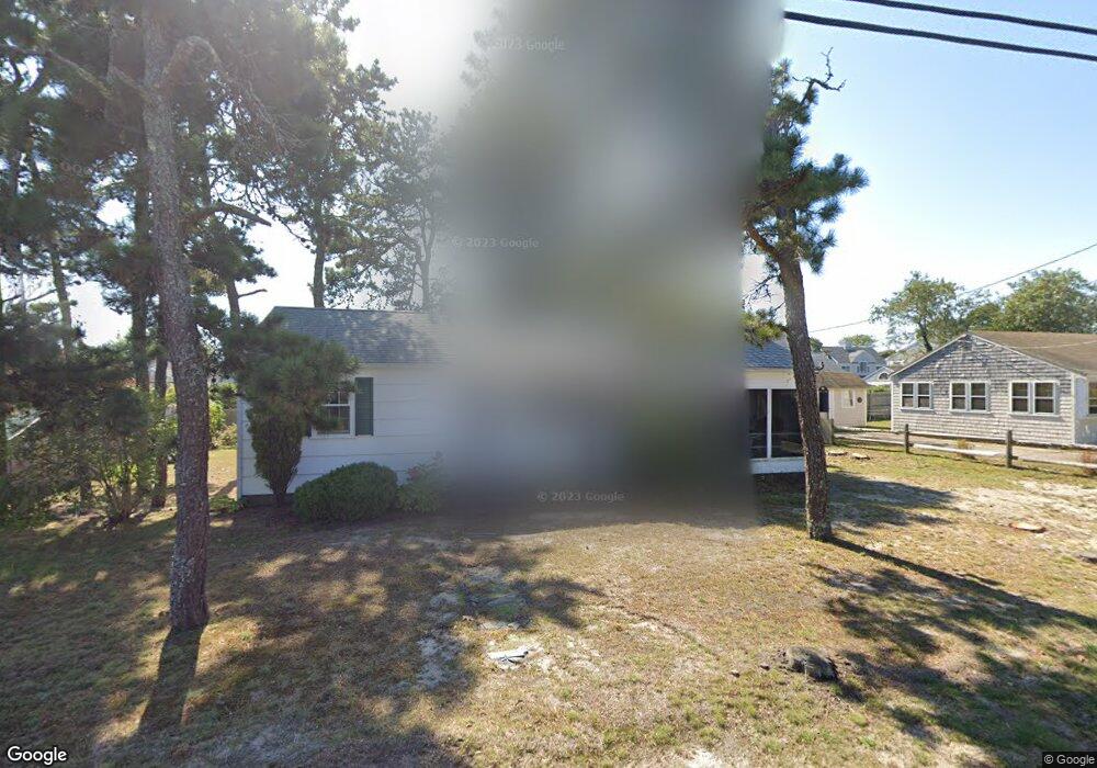
159 Loring Ave West Dennis, MA 02670
West Dennis NeighborhoodEstimated Value: $631,000 - $735,000
3
Beds
1
Bath
828
Sq Ft
$813/Sq Ft
Est. Value
About This Home
This home is located at 159 Loring Ave, West Dennis, MA 02670 and is currently estimated at $673,490, approximately $813 per square foot. 159 Loring Ave is a home located in Barnstable County with nearby schools including Dennis-Yarmouth Regional High School and St. Pius X. School.
Ownership History
Date
Name
Owned For
Owner Type
Purchase Details
Closed on
Sep 25, 2023
Sold by
Hatchfield Thomas R
Bought by
Thomas R Hatchfield Irt and Hatchfield
Current Estimated Value
Purchase Details
Closed on
Nov 27, 2020
Sold by
Donohue Jane A
Bought by
Donohue Irt and Donohue
Purchase Details
Closed on
Apr 24, 2019
Sold by
Eleanor A Hatchfield Int A and Eleanor Hatchfield
Bought by
Hatchfield Thomas R and Donohue Jane A
Create a Home Valuation Report for This Property
The Home Valuation Report is an in-depth analysis detailing your home's value as well as a comparison with similar homes in the area
Home Values in the Area
Average Home Value in this Area
Purchase History
| Date | Buyer | Sale Price | Title Company |
|---|---|---|---|
| Thomas R Hatchfield Irt | -- | None Available | |
| Donohue Irt | -- | None Available | |
| Hatchfield Thomas R | -- | -- | |
| Hatchfield Thomas R | -- | -- |
Source: Public Records
Tax History
| Year | Tax Paid | Tax Assessment Tax Assessment Total Assessment is a certain percentage of the fair market value that is determined by local assessors to be the total taxable value of land and additions on the property. | Land | Improvement |
|---|---|---|---|---|
| 2025 | $2,880 | $665,100 | $386,600 | $278,500 |
| 2024 | $2,437 | $555,100 | $309,800 | $245,300 |
| 2023 | $2,357 | $504,700 | $281,700 | $223,000 |
| 2022 | $2,337 | $417,400 | $253,700 | $163,700 |
| 2021 | $2,308 | $382,800 | $248,800 | $134,000 |
| 2020 | $2,428 | $398,000 | $276,400 | $121,600 |
| 2019 | $2,281 | $369,700 | $271,000 | $98,700 |
| 2018 | $2,041 | $322,000 | $232,200 | $89,800 |
| 2017 | $1,962 | $319,100 | $232,200 | $86,900 |
| 2016 | $2,024 | $309,900 | $237,300 | $72,600 |
| 2015 | $1,983 | $309,900 | $237,300 | $72,600 |
| 2014 | $1,837 | $289,300 | $216,700 | $72,600 |
Source: Public Records
Map
Nearby Homes
- 0 Loring Ave Unit 20512132
- 0 Loring Ave Unit 2040175
- 0 Loring Ave Unit 33 2031894
- 0 Loring Ave Unit 11506
- 0 Loring Ave Unit 20512620
- 0 Loring Ave Unit 1 2040555
- 0 Loring Ave
- 163 Loring Ave
- 155 Loring Ave
- 36 Santucket Rd
- 40 Santucket Rd
- 32 Santucket Rd
- 158 Loring Ave
- 162 Loring Ave
- 154 Loring Ave
- 167 Loring Ave
- 151 Loring Ave
- 28 Santucket
- 44 Santucket Rd
- 28 Santucket Rd
Your Personal Tour Guide
Ask me questions while you tour the home.