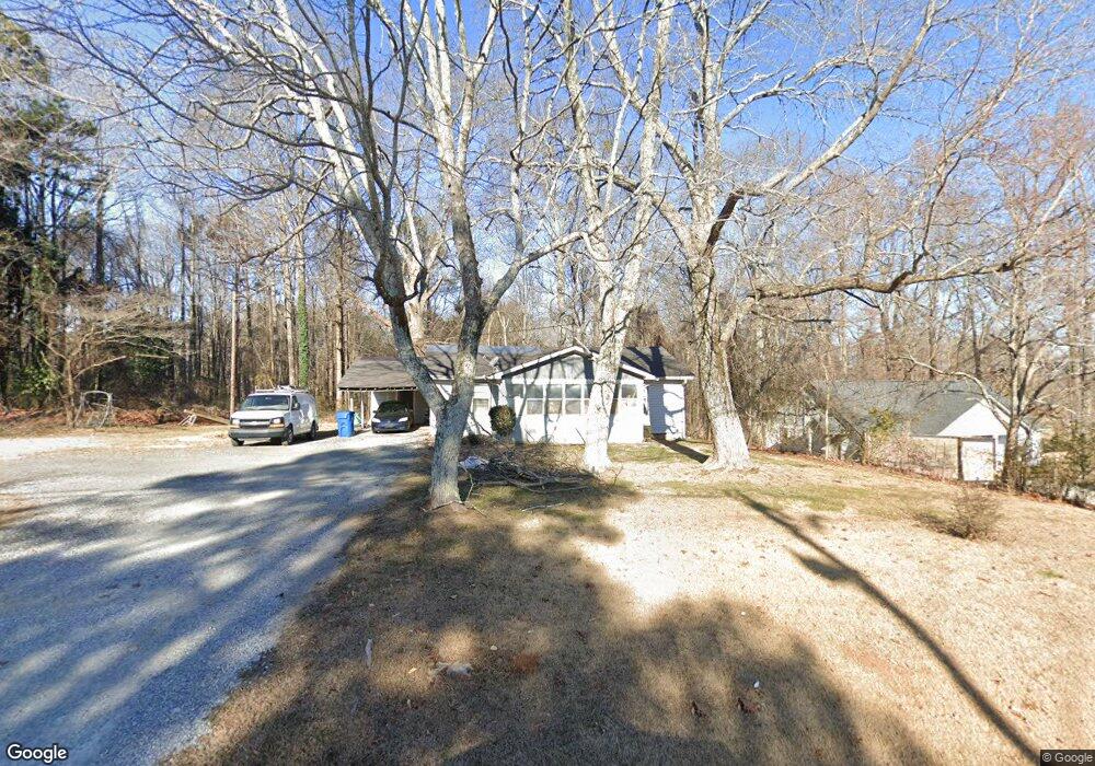
159 MacLand Rd Dallas, GA 30132
East Paulding County NeighborhoodEstimated Value: $208,826 - $273,000
2
Beds
2
Baths
1,148
Sq Ft
$213/Sq Ft
Est. Value
About This Home
This home is located at 159 MacLand Rd, Dallas, GA 30132 and is currently estimated at $244,957, approximately $213 per square foot. 159 MacLand Rd is a home located in Paulding County with nearby schools including Dallas Elementary School, Herschel Jones Middle School, and East Paulding High School.
Ownership History
Date
Name
Owned For
Owner Type
Purchase Details
Closed on
Mar 8, 2012
Sold by
Lowery Todd
Bought by
Parker Michael
Current Estimated Value
Purchase Details
Closed on
Feb 24, 2005
Sold by
Robinson William M
Bought by
Lowery Todd
Home Financials for this Owner
Home Financials are based on the most recent Mortgage that was taken out on this home.
Original Mortgage
$113,870
Interest Rate
5.61%
Mortgage Type
New Conventional
Purchase Details
Closed on
May 6, 2004
Sold by
Wright Romas O
Bought by
Robinson William M
Create a Home Valuation Report for This Property
The Home Valuation Report is an in-depth analysis detailing your home's value as well as a comparison with similar homes in the area
Home Values in the Area
Average Home Value in this Area
Purchase History
| Date | Buyer | Sale Price | Title Company |
|---|---|---|---|
| Parker Michael | $88,000 | -- | |
| Lowery Todd | $88,000 | -- | |
| Robinson William M | $79,000 | -- |
Source: Public Records
Mortgage History
| Date | Status | Borrower | Loan Amount |
|---|---|---|---|
| Previous Owner | Lowery Todd | $113,870 |
Source: Public Records
Tax History Compared to Growth
Tax History
| Year | Tax Paid | Tax Assessment Tax Assessment Total Assessment is a certain percentage of the fair market value that is determined by local assessors to be the total taxable value of land and additions on the property. | Land | Improvement |
|---|---|---|---|---|
| 2024 | $1,549 | $62,276 | $7,360 | $54,916 |
| 2023 | $1,535 | $58,872 | $7,000 | $51,872 |
| 2022 | $1,309 | $50,196 | $6,200 | $43,996 |
| 2021 | $1,096 | $37,712 | $5,240 | $32,472 |
| 2020 | $970 | $32,668 | $5,000 | $27,668 |
| 2019 | $887 | $29,428 | $4,480 | $24,948 |
| 2018 | $775 | $25,712 | $7,440 | $18,272 |
| 2017 | $707 | $23,152 | $7,120 | $16,032 |
| 2016 | $610 | $20,188 | $7,120 | $13,068 |
| 2015 | $578 | $18,788 | $7,000 | $11,788 |
| 2014 | $555 | $17,588 | $6,440 | $11,148 |
| 2013 | -- | $15,720 | $7,040 | $8,680 |
Source: Public Records
Map
Nearby Homes
- 388 MacLand Rd
- 0 Coach Bobby Dodd Rd Unit 7670287
- 301 Allegheny Ave
- 231 Brock Dr
- 97 Cathie Dr
- Greenbriar Plan at Sage Woods - Maple Street Collection
- Wesley Plan at Sage Woods - Maple Street Collection
- DaVinci Plan at Sage Woods - Maple Street Collection
- Breckenridge Plan at Sage Woods - Maple Street Collection
- Jensen Plan at Sage Woods - Maple Street Collection
- Yosemite Plan at Sage Woods - Maple Street Collection
- 108 Alpine Ct
- 110 Alpine Ct
- 262 Sage Woods Way
- 110 Heritage Club Cir
- 108 Heritage Club Cir
- 201 Sage Woods Way
- 104 Alpine Ct
- 237 Sage Woods Way
- 213 Sage Woods Way
- 179 MacLand Rd
- 170 MacLand Rd
- 144 MacLand Rd
- 273 MacLand Rd
- 210 MacLand Rd
- 85 MacLand Rd
- 220 MacLand Rd
- 0000 Sunset Dr
- 93 Pond Path
- 35 MacLand Rd
- 270 MacLand Rd
- 410 Sunset Dr
- 296 MacLand Rd
- 1124 Merchants Dr
- 69 Pond Path
- 1265 Merchants Dr
- 299 Sunset Dr
- 315 MacLand Rd Unit 315
- 315 MacLand Rd
- 45 Pond Path