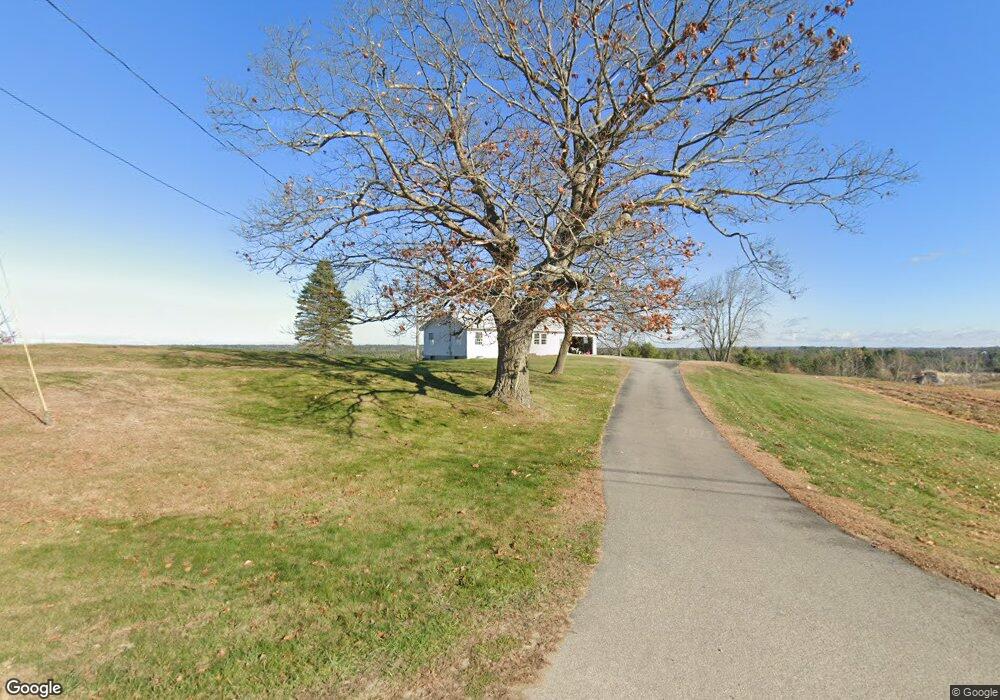
159 Mighty St Gorham, ME 04038
Estimated Value: $398,306 - $474,000
4
Beds
2
Baths
1,092
Sq Ft
$399/Sq Ft
Est. Value
About This Home
This home is located at 159 Mighty St, Gorham, ME 04038 and is currently estimated at $435,577, approximately $398 per square foot. 159 Mighty St is a home with nearby schools including Great Falls Elementary School, Gorham Middle School, and Gorham High School.
Ownership History
Date
Name
Owned For
Owner Type
Purchase Details
Closed on
Feb 23, 2024
Sold by
Gordon Carol A
Bought by
Grant Thomas C
Current Estimated Value
Purchase Details
Closed on
Sep 26, 2013
Sold by
Gordon Jack T and Gordon Carol A
Bought by
Gordon Jack T and Gordon Carol A
Purchase Details
Closed on
Apr 28, 2006
Sold by
Gordon Jack T and Gordon Carol A
Bought by
Gordon Jack T and Gordon Carol A
Create a Home Valuation Report for This Property
The Home Valuation Report is an in-depth analysis detailing your home's value as well as a comparison with similar homes in the area
Home Values in the Area
Average Home Value in this Area
Purchase History
| Date | Buyer | Sale Price | Title Company |
|---|---|---|---|
| Grant Thomas C | -- | None Available | |
| Gordon Jack T | -- | -- | |
| Gordon Jack T | -- | -- |
Source: Public Records
Tax History
| Year | Tax Paid | Tax Assessment Tax Assessment Total Assessment is a certain percentage of the fair market value that is determined by local assessors to be the total taxable value of land and additions on the property. | Land | Improvement |
|---|---|---|---|---|
| 2025 | $4,575 | $309,100 | $98,100 | $211,000 |
| 2024 | $4,544 | $309,100 | $98,100 | $211,000 |
| 2023 | $4,250 | $309,100 | $98,100 | $211,000 |
| 2022 | $3,972 | $309,100 | $98,100 | $211,000 |
| 2021 | $3,537 | $182,300 | $80,600 | $101,700 |
| 2020 | $3,464 | $182,300 | $80,600 | $101,700 |
| 2019 | $3,455 | $182,300 | $80,600 | $101,700 |
| 2018 | $3,318 | $182,300 | $80,600 | $101,700 |
| 2017 | $3,117 | $182,300 | $80,600 | $101,700 |
| 2016 | $3,103 | $182,500 | $80,800 | $101,700 |
| 2015 | $2,975 | $182,500 | $80,800 | $101,700 |
| 2014 | $2,859 | $164,300 | $73,200 | $91,100 |
| 2013 | $6,282 | $363,100 | $272,000 | $91,100 |
Source: Public Records
Map
Nearby Homes
- 555 Fort Hill Rd
- 696 Fort Hill Rd
- 697 Fort Hill Rd
- 761 Fort Hill Rd
- 116 Dingley Spring Rd
- 16 Norway Rd
- 68 Woodbrey Ln
- LOT #34 Woodbrey Ln
- 46 Sebago Lake Rd
- 8 Martin Dr
- 24 Eastern Ln
- LOT #65 Eastern Ln
- 29 Woodbrey Ln
- 4 Musket Dr
- LOT #6 Eastern Ln
- LOT #8 Eastern Ln
- 16 Daniel St
- LOT #54 Woodbrey Heights
- 49 Woodbrey Ln
- 51 Newell St
Your Personal Tour Guide
Ask me questions while you tour the home.