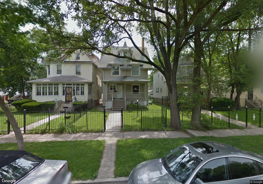
159 N Menard Ave Chicago, IL 60644
Austin NeighborhoodEstimated Value: $178,000 - $443,000
3
Beds
1
Bath
1,512
Sq Ft
$193/Sq Ft
Est. Value
About This Home
This home is located at 159 N Menard Ave, Chicago, IL 60644 and is currently estimated at $291,433, approximately $192 per square foot. 159 N Menard Ave is a home located in Cook County with nearby schools including Ellington Elementary School, Catalyst Charter-Circle Rock Elementary School, and St. Catherine - St. Lucy School.
Ownership History
Date
Name
Owned For
Owner Type
Purchase Details
Closed on
Jun 17, 2014
Sold by
Jeff Bv Vacant Llc
Bought by
Ehresman Dwane
Current Estimated Value
Purchase Details
Closed on
Apr 3, 2014
Sold by
French Latreese
Bought by
Jeff Bv Vacant Llc
Purchase Details
Closed on
Jan 3, 2003
Sold by
Urban Alternatives Inc
Bought by
Lakeside Bank and Trust #10-2460
Purchase Details
Closed on
Mar 19, 2002
Sold by
Bank One Na
Bought by
Urban Alternatives Inc
Create a Home Valuation Report for This Property
The Home Valuation Report is an in-depth analysis detailing your home's value as well as a comparison with similar homes in the area
Home Values in the Area
Average Home Value in this Area
Purchase History
| Date | Buyer | Sale Price | Title Company |
|---|---|---|---|
| Ehresman Dwane | $10,000 | Barrister Title | |
| Jeff Bv Vacant Llc | -- | None Available | |
| Lakeside Bank | $186,000 | Mtc | |
| Urban Alternatives Inc | $70,000 | Wheatland Title |
Source: Public Records
Tax History
| Year | Tax Paid | Tax Assessment Tax Assessment Total Assessment is a certain percentage of the fair market value that is determined by local assessors to be the total taxable value of land and additions on the property. | Land | Improvement |
|---|---|---|---|---|
| 2025 | $2,254 | $17,400 | $8,010 | $9,390 |
| 2024 | $2,254 | $17,400 | $8,010 | $9,390 |
| 2023 | $2,176 | $14,000 | $6,341 | $7,659 |
| 2022 | $2,176 | $14,000 | $6,341 | $7,659 |
| 2021 | $2,145 | $13,999 | $6,341 | $7,658 |
| 2020 | $2,436 | $14,038 | $5,673 | $8,365 |
| 2019 | $2,445 | $15,598 | $5,673 | $9,925 |
| 2018 | $3,081 | $15,598 | $5,673 | $9,925 |
| 2017 | $2,792 | $12,971 | $5,006 | $7,965 |
| 2016 | $2,598 | $12,971 | $5,006 | $7,965 |
| 2015 | $2,377 | $12,971 | $5,006 | $7,965 |
| 2014 | $1,855 | $12,569 | $4,672 | $7,897 |
| 2013 | $1,808 | $12,569 | $4,672 | $7,897 |
Source: Public Records
Map
Nearby Homes
- 128 N Menard Ave
- 5832 W West End Ave
- 43 N Menard Ave
- 320 N Menard Ave
- 46 N Menard Ave Unit BG
- 44 N Menard Ave Unit B2
- 5843 W Corcoran Place
- 46 N Central Ave
- 12 N Mayfield Ave Unit 3
- 5724 W Lake St
- 19 S Waller Ave
- 316 N Austin Blvd
- 32 S Menard Ave
- 5845 W Midway Park
- 342 N Austin Blvd Unit 1
- 38 Washington Blvd Unit 1
- 412 N Pine Ave
- 514 S Humphrey Ave
- 5830 W Race Ave
- 118 N Long Ave
- 165 N Menard Ave
- 157 N Menard Ave
- 153 N Menard Ave
- 153 N Menard Ave
- 151 N Menard Ave
- 147 N Menard Ave
- 147 N Menard Ave Unit 1
- 203 N Menard Ave
- 5720 W West End Ave
- 5715 W West End Ave
- 143 N Menard Ave
- 207 N Menard Ave
- 154 N Menard Ave
- 152 N Menard Ave
- 150 N Menard Ave
- 5712 W West End Ave
- 139 N Menard Ave
- 200 N Menard Ave Unit 2
- 200 N Menard Ave
- 200 N Menard Ave
Your Personal Tour Guide
Ask me questions while you tour the home.