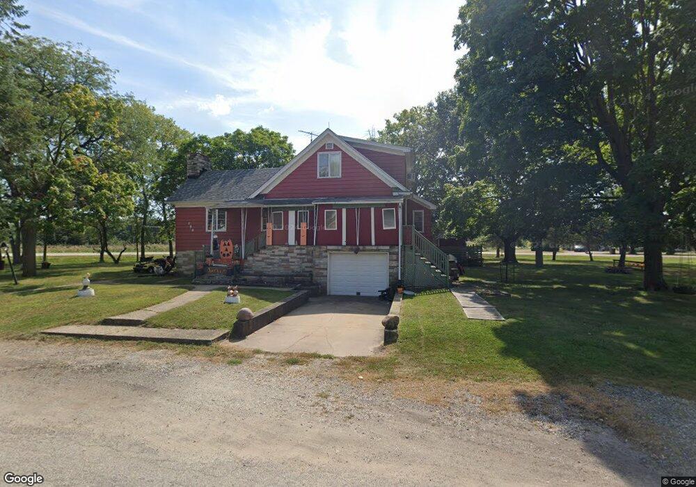
159 W Reed St Braidwood, IL 60408
Estimated Value: $331,262 - $358,000
--
Bed
--
Bath
--
Sq Ft
1.13
Acres
About This Home
This home is located at 159 W Reed St, Braidwood, IL 60408 and is currently estimated at $347,816. 159 W Reed St is a home located in Will County with nearby schools including Reed-Custer Intermediate School, Reed-Custer Middle School, and Reed-Custer High School.
Ownership History
Date
Name
Owned For
Owner Type
Purchase Details
Closed on
Feb 16, 2016
Sold by
Daniels Kenneth P and Daniels Colleen A
Bought by
People Of The State Of Illinois
Current Estimated Value
Purchase Details
Closed on
May 29, 2008
Sold by
Buban Thomas and Buban Linnea
Bought by
Daniels Kenneth P and Daniels Colleen A
Home Financials for this Owner
Home Financials are based on the most recent Mortgage that was taken out on this home.
Original Mortgage
$180,000
Interest Rate
5.53%
Mortgage Type
Purchase Money Mortgage
Create a Home Valuation Report for This Property
The Home Valuation Report is an in-depth analysis detailing your home's value as well as a comparison with similar homes in the area
Home Values in the Area
Average Home Value in this Area
Purchase History
| Date | Buyer | Sale Price | Title Company |
|---|---|---|---|
| People Of The State Of Illinois | $11,000 | None Available | |
| Daniels Kenneth P | $240,000 | First American |
Source: Public Records
Mortgage History
| Date | Status | Borrower | Loan Amount |
|---|---|---|---|
| Previous Owner | Daniels Kenneth P | $180,000 |
Source: Public Records
Tax History Compared to Growth
Tax History
| Year | Tax Paid | Tax Assessment Tax Assessment Total Assessment is a certain percentage of the fair market value that is determined by local assessors to be the total taxable value of land and additions on the property. | Land | Improvement |
|---|---|---|---|---|
| 2024 | $4,498 | $102,457 | $13,868 | $88,589 |
| 2023 | $4,498 | $91,766 | $12,421 | $79,345 |
| 2022 | $6,431 | $83,272 | $11,271 | $72,001 |
| 2021 | $5,561 | $79,481 | $10,758 | $68,723 |
| 2020 | $5,380 | $75,301 | $10,192 | $65,109 |
| 2019 | $5,024 | $71,106 | $9,624 | $61,482 |
| 2018 | $4,849 | $68,044 | $9,210 | $58,834 |
| 2017 | $4,767 | $66,709 | $9,029 | $57,680 |
| 2016 | $4,658 | $64,722 | $8,939 | $55,783 |
| 2015 | $4,516 | $63,051 | $8,708 | $54,343 |
| 2014 | $4,516 | $63,051 | $8,708 | $54,343 |
| 2013 | $4,516 | $67,434 | $9,313 | $58,121 |
Source: Public Records
Map
Nearby Homes
- 124 S Lincoln St
- 145 E Elm St
- 355 E Janet Dr
- 443 W Main St
- 000 N Center St
- 106 Round House St
- 302 Oak St
- 303 N Division St
- 340 N Walker St
- 460 N School St
- 470 N School St
- 910 W Kennedy Rd
- 495 N Division St
- 116 S English St
- 0000 N Division St
- 998 W Kennedy Rd
- 225 E Cermak Rd
- 000 N Pond St
- 464 Todd Ct
- 000 W Cermak Rd
- 406-07 S Washington St
- 293 S Lincoln St
- 142 W Reed St
- 128 W Reed St
- 146 W Reed St
- 289 S Lincoln St
- 105 W Kennedy Rd
- 298 S Center St
- 290 S Center St
- 295 S Lincoln St
- 211 W Kennedy Rd
- 281 S Lincoln St
- 213 W Kennedy Rd
- 292 S Lincoln St
- 288 S Lincoln St
- 215 W Kennedy Rd
- 215 W Kennedy Rd
- 277 S Lincoln St
- 282 S Lincoln St
- 288 S Center St