1590 Brentwood Dr Unit 1 Marietta, GA 30062
Eastern Marietta NeighborhoodEstimated Value: $545,000 - $616,000
5
Beds
4
Baths
2,737
Sq Ft
$212/Sq Ft
Est. Value
About This Home
This home is located at 1590 Brentwood Dr Unit 1, Marietta, GA 30062 and is currently estimated at $580,968, approximately $212 per square foot. 1590 Brentwood Dr Unit 1 is a home located in Cobb County with nearby schools including Sawyer Road Elementary School, Marietta Sixth Grade Academy, and Marietta Middle School.
Ownership History
Date
Name
Owned For
Owner Type
Purchase Details
Closed on
Dec 4, 2023
Sold by
Thompson Realty Trust
Bought by
Thompson Alvin B and Thompson Zana M
Current Estimated Value
Purchase Details
Closed on
Dec 18, 1998
Sold by
Crorkin Patrick M and Gilla Carey
Bought by
Thompson Alvin B
Home Financials for this Owner
Home Financials are based on the most recent Mortgage that was taken out on this home.
Original Mortgage
$201,850
Interest Rate
6.94%
Mortgage Type
New Conventional
Purchase Details
Closed on
May 27, 1994
Sold by
L S Builders
Bought by
Crorkin Patrick M and Gillam Carey L
Home Financials for this Owner
Home Financials are based on the most recent Mortgage that was taken out on this home.
Original Mortgage
$178,250
Interest Rate
8.52%
Create a Home Valuation Report for This Property
The Home Valuation Report is an in-depth analysis detailing your home's value as well as a comparison with similar homes in the area
Home Values in the Area
Average Home Value in this Area
Purchase History
| Date | Buyer | Sale Price | Title Company |
|---|---|---|---|
| Thompson Alvin B | -- | None Listed On Document | |
| Thompson Alvin B | $212,500 | -- | |
| Crorkin Patrick M | $187,700 | -- |
Source: Public Records
Mortgage History
| Date | Status | Borrower | Loan Amount |
|---|---|---|---|
| Previous Owner | Thompson Alvin B | $201,850 | |
| Previous Owner | Crorkin Patrick M | $178,250 |
Source: Public Records
Tax History Compared to Growth
Tax History
| Year | Tax Paid | Tax Assessment Tax Assessment Total Assessment is a certain percentage of the fair market value that is determined by local assessors to be the total taxable value of land and additions on the property. | Land | Improvement |
|---|---|---|---|---|
| 2025 | $762 | $204,828 | $44,000 | $160,828 |
| 2024 | $762 | $204,828 | $44,000 | $160,828 |
| 2023 | $609 | $192,296 | $40,000 | $152,296 |
| 2022 | $762 | $148,508 | $32,000 | $116,508 |
| 2021 | $781 | $148,508 | $32,000 | $116,508 |
| 2020 | $781 | $145,452 | $26,000 | $119,452 |
| 2019 | $779 | $134,552 | $26,000 | $108,552 |
| 2018 | $779 | $134,552 | $26,000 | $108,552 |
| 2017 | $623 | $110,996 | $26,000 | $84,996 |
| 2016 | $625 | $110,996 | $26,000 | $84,996 |
| 2015 | $750 | $100,036 | $27,200 | $72,836 |
| 2014 | $775 | $100,036 | $0 | $0 |
Source: Public Records
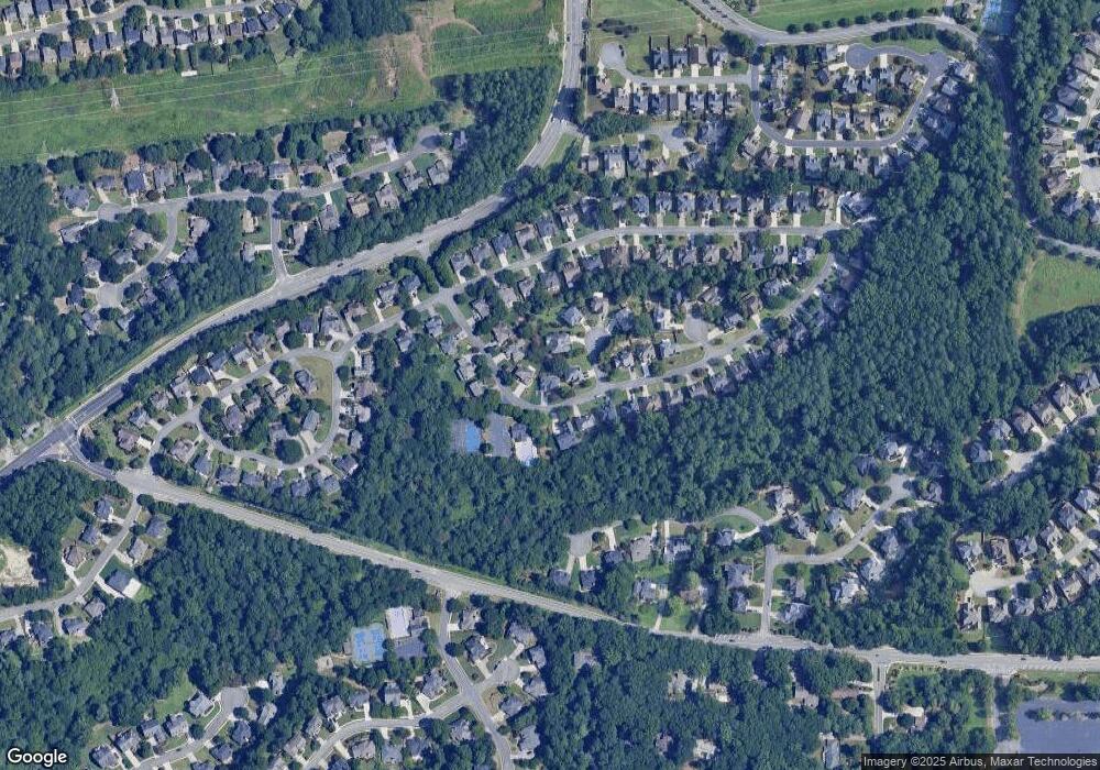
Map
Nearby Homes
- 1511 Emerald Glen Dr
- 1391 Brentwood Ln
- 1442 Glenover Cir
- 1237 Blackjack Ct
- 1580 Reids Ferry Way
- 1519 Evanston Ln
- 1387 Woodcutt Place
- 1255 Testarosa Way
- 1391 Cameron Glen Dr Unit 1
- 1368 Woodcutt Place
- 1599 Cambridge Place
- 1800 Chardin Way
- 1871 Chardin Way
- 1593 Pinebreeze Dr
- 1716 Chanson Place
- 1267 Herty Dr
- 1060 Lawanna Dr
- 1260 Herty Dr
- 1080 Soaring Way NE
- 873 Edgewater Cir
- 1598 Brentwood Dr
- 1582 Brentwood Dr
- 1443 Brentwood Ct
- 1602 Brentwood Dr Unit 1
- 1587 Brentwood Dr
- 1583 Brentwood Dr Unit 2
- 1579 Brentwood Dr
- 1606 Brentwood Dr Unit 1
- 1447 Brentwood Ct
- 1447 Brentwood Ct
- 1599 Brentwood Dr
- 1574 Brentwood Dr
- 1575 Brentwood Dr
- 1603 Brentwood Dr Unit 1
- 1464 Brentwood Dr
- 1460 Brentwood Dr Unit 2
- 1468 Brentwood Dr Unit 2
- 1446 Brentwood Ct Unit 2
- 1568 Brentwood Dr
- 1610 Brentwood Dr