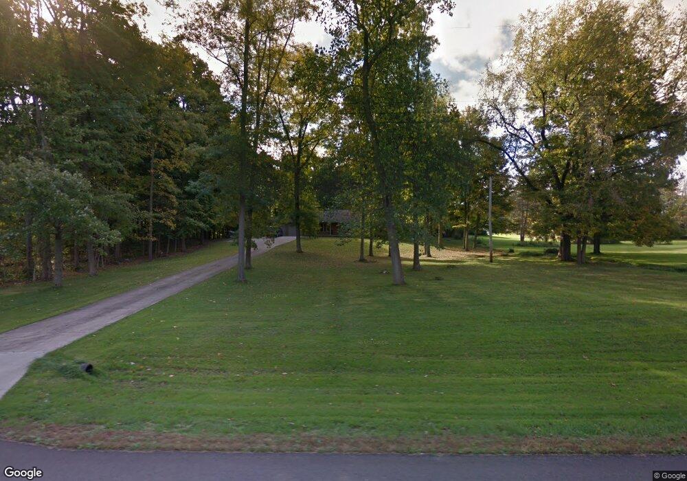
1590 Chew Rd Mansfield, OH 44903
Estimated Value: $223,000 - $303,000
3
Beds
2
Baths
1,744
Sq Ft
$154/Sq Ft
Est. Value
About This Home
This home is located at 1590 Chew Rd, Mansfield, OH 44903 and is currently estimated at $268,977, approximately $154 per square foot. 1590 Chew Rd is a home located in Richland County with nearby schools including Lucas Elementary School, Lucas Heritage Middle School, and Lucas High School.
Ownership History
Date
Name
Owned For
Owner Type
Purchase Details
Closed on
Oct 4, 1996
Sold by
Stigall Lewis H
Bought by
Bond Roger D and Bond Shirley M
Current Estimated Value
Purchase Details
Closed on
Aug 1, 1996
Sold by
Kempton Norman E
Bought by
Stigall Lewis H and Stigall Esta
Purchase Details
Closed on
Mar 10, 1994
Sold by
Kempton Jeffrey A
Bought by
Kempton Norman E
Create a Home Valuation Report for This Property
The Home Valuation Report is an in-depth analysis detailing your home's value as well as a comparison with similar homes in the area
Home Values in the Area
Average Home Value in this Area
Purchase History
| Date | Buyer | Sale Price | Title Company |
|---|---|---|---|
| Bond Roger D | $3,400 | -- | |
| Stigall Lewis H | $3,000 | -- | |
| Kempton Norman E | -- | -- |
Source: Public Records
Tax History Compared to Growth
Tax History
| Year | Tax Paid | Tax Assessment Tax Assessment Total Assessment is a certain percentage of the fair market value that is determined by local assessors to be the total taxable value of land and additions on the property. | Land | Improvement |
|---|---|---|---|---|
| 2024 | $2,705 | $74,330 | $9,240 | $65,090 |
| 2023 | $2,705 | $74,330 | $9,240 | $65,090 |
| 2022 | $2,334 | $58,490 | $8,260 | $50,230 |
| 2021 | $2,334 | $58,490 | $8,260 | $50,230 |
| 2020 | $2,377 | $58,490 | $8,260 | $50,230 |
| 2019 | $2,075 | $49,560 | $7,000 | $42,560 |
| 2018 | $2,135 | $49,560 | $7,000 | $42,560 |
| 2017 | $2,214 | $49,560 | $7,000 | $42,560 |
| 2016 | $2,279 | $52,520 | $6,300 | $46,220 |
| 2015 | $2,278 | $52,520 | $6,300 | $46,220 |
| 2014 | $2,290 | $52,520 | $6,300 | $46,220 |
| 2012 | $1,128 | $52,520 | $6,300 | $46,220 |
Source: Public Records
Map
Nearby Homes
- 0 State Route 39 & I-71 Northeast Quadrant
- 0 State Route 39 & I-71 Southeast Quadrant
- 929 Antionette Dr
- 1679 Pulver Rd
- 1875 Mansfield Lucas Rd
- 2061 Washington North Rd
- 0 Woodville Rd Unit Lot 14952, 14953
- 0 Woodville Rd Unit Lot 14954, 14955
- 0 Woodville Rd Unit Lot 14956, 14957,
- 794 Mansfield Washington Rd
- 36 Ridge Rd S
- 174 W Main St
- 0 Mcelroy Rd
- 1135 E Hanley Rd
- 76 Ford Rd N
- 716 Mansfield Washington Rd
- 0 Peterson Rd
- 155 Ford Rd N Unit Lot 30
- 155 Ford Rd N
- 27 E Main St