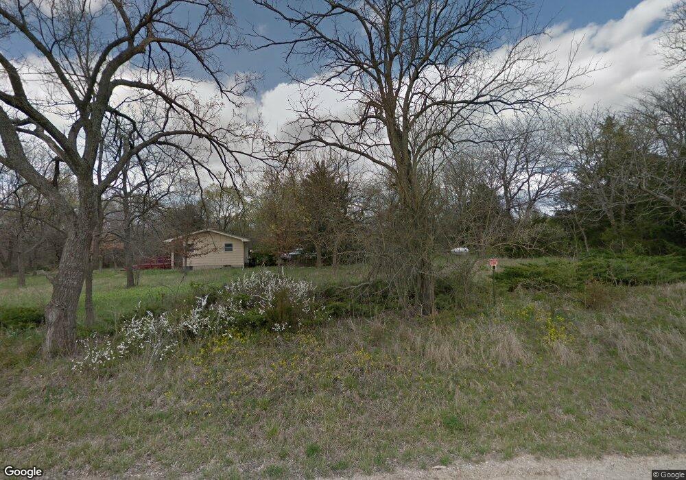
1590 N 450th Rd Baldwin City, KS 66006
Estimated Value: $392,829 - $474,000
2
Beds
2
Baths
768
Sq Ft
$564/Sq Ft
Est. Value
About This Home
This home is located at 1590 N 450th Rd, Baldwin City, KS 66006 and is currently estimated at $433,415, approximately $564 per square foot. 1590 N 450th Rd is a home located in Douglas County with nearby schools including Baldwin Elementary Primary Center, Baldwin Elementary Intermediate Center, and Baldwin Junior High School.
Ownership History
Date
Name
Owned For
Owner Type
Purchase Details
Closed on
Dec 20, 2024
Sold by
Herlein James M and Herlein Melissa M
Bought by
Herlein James M and Herlein Melissa M
Current Estimated Value
Purchase Details
Closed on
Dec 9, 2020
Sold by
Wessling Jr Urban and Wessling Margaret
Bought by
Wessling Greg and Wessling Karla
Create a Home Valuation Report for This Property
The Home Valuation Report is an in-depth analysis detailing your home's value as well as a comparison with similar homes in the area
Home Values in the Area
Average Home Value in this Area
Purchase History
| Date | Buyer | Sale Price | Title Company |
|---|---|---|---|
| Herlein James M | -- | None Listed On Document | |
| Wessling Greg | -- | None Available |
Source: Public Records
Tax History Compared to Growth
Tax History
| Year | Tax Paid | Tax Assessment Tax Assessment Total Assessment is a certain percentage of the fair market value that is determined by local assessors to be the total taxable value of land and additions on the property. | Land | Improvement |
|---|---|---|---|---|
| 2025 | $3,060 | $28,664 | $4,282 | $24,382 |
| 2024 | $3,060 | $27,439 | $3,434 | $24,005 |
| 2023 | $2,984 | $25,446 | $3,389 | $22,057 |
| 2022 | $2,849 | $24,128 | $3,287 | $20,841 |
| 2021 | $2,932 | $23,218 | $3,205 | $20,013 |
| 2020 | $2,706 | $21,174 | $3,145 | $18,029 |
| 2019 | $2,553 | $19,950 | $3,095 | $16,855 |
| 2018 | $2,241 | $17,460 | $2,948 | $14,512 |
| 2017 | $2,279 | $17,103 | $2,921 | $14,182 |
| 2016 | $2,103 | $16,009 | $1,618 | $14,391 |
| 2015 | -- | $13,732 | $1,594 | $12,138 |
| 2014 | -- | $13,759 | $1,573 | $12,186 |
Source: Public Records
Map
Nearby Homes
- Lot 7 Block 2 Bluestem Dr
- Lot 6 Block 2 Bluestem Dr
- Lot 4 Block 2 Bluestem Dr
- Lot 3 Block 2 Bluestem Dr
- Lot 5 Block 3 Bluestem Dr
- Lot 12 Block 2 Bluestem Dr
- Lot 9 Block 3 Bluestem Dr
- 10.66 Acres M/L N 800 Rd
- 1015 Firetree Ave
- 0 N 6th St
- 612 Flame Way
- 407 Signal Ridge Dr
- 917 Eagle Ridge Dr
- 915 Eagle Ridge Dr
- 99 E 1600 Rd
- 99 E 1600 Rd Unit Parcel 4
- 1617 N 600 Rd
- 1580 N 100 Rd
- 1560 N 100 Rd
- 124 E 1550 Rd
- 1597 N 450 Rd
- 1597 N 450th Rd
- 424 E 1600 Rd
- 451 E 1600 Rd
- 1568 N 450th Rd
- 1600 N 400th Rd
- 1600 Blk N 400 Rd
- 1600 N 400 Rd
- 1563 N 450th Rd
- 395 E 1600 Rd
- 398 E 1600 Rd
- 1564 N 400th Rd
- 1558 N 450th Rd
- 388 E 1000th Rd
- 388 E 1600th Rd
- 388 E 1600 Rd
- 471 E 1600th Rd
- 1627 N 400 Rd
- 1550 N 450th Rd
- 1603 N 474th Rd