15901 Highway Nn Bowling Green, MO 63334
Estimated Value: $272,000 - $287,000
--
Bed
1
Bath
1,332
Sq Ft
$211/Sq Ft
Est. Value
About This Home
This home is located at 15901 Highway Nn, Bowling Green, MO 63334 and is currently estimated at $281,062, approximately $211 per square foot. 15901 Highway Nn is a home with nearby schools including Bowling Green High School.
Ownership History
Date
Name
Owned For
Owner Type
Purchase Details
Closed on
Sep 25, 2023
Sold by
Blackwell Gabriele
Bought by
Blackwell Gabriele and Blackwell David Anthony
Current Estimated Value
Purchase Details
Closed on
Sep 10, 2018
Sold by
Schmidt Gloria Jean
Bought by
Blackwell David and Blackwell Gabriele
Home Financials for this Owner
Home Financials are based on the most recent Mortgage that was taken out on this home.
Original Mortgage
$100,196
Interest Rate
4.5%
Mortgage Type
Construction
Create a Home Valuation Report for This Property
The Home Valuation Report is an in-depth analysis detailing your home's value as well as a comparison with similar homes in the area
Home Values in the Area
Average Home Value in this Area
Purchase History
| Date | Buyer | Sale Price | Title Company |
|---|---|---|---|
| Blackwell Gabriele | -- | None Listed On Document | |
| Blackwell David | -- | None Available |
Source: Public Records
Mortgage History
| Date | Status | Borrower | Loan Amount |
|---|---|---|---|
| Previous Owner | Blackwell David | $100,196 |
Source: Public Records
Tax History Compared to Growth
Tax History
| Year | Tax Paid | Tax Assessment Tax Assessment Total Assessment is a certain percentage of the fair market value that is determined by local assessors to be the total taxable value of land and additions on the property. | Land | Improvement |
|---|---|---|---|---|
| 2024 | $1,106 | $18,200 | $2,470 | $15,730 |
| 2023 | $1,106 | $19,950 | $2,470 | $17,480 |
| 2022 | $1,083 | $19,660 | $1,050 | $18,610 |
| 2021 | $1,076 | $19,660 | $1,050 | $18,610 |
| 2020 | $1,080 | $19,660 | $1,050 | $18,610 |
| 2019 | $1,079 | $19,660 | $1,050 | $18,610 |
| 2018 | $11 | $230 | $230 | $0 |
| 2017 | $11 | $230 | $230 | $0 |
| 2016 | $11 | $230 | $230 | $0 |
| 2015 | -- | $230 | $230 | $0 |
| 2011 | -- | $220 | $220 | $0 |
Source: Public Records
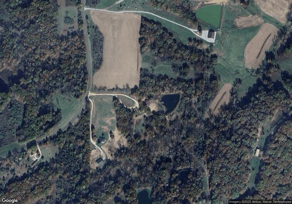
Map
Nearby Homes
- 17351 Highway Nn
- 20877 Pike 274
- 19072 Pike 9222
- 0 Pike 279 Unit MIS25062485
- 0 Highway Hh
- 19456 Pike 308
- 19496 Pike 308
- 20994 Pike 307
- Lot 35 Pike 9266
- 12050 Pike 9162
- 12187 Pike 162
- 16815 Pike 9289
- 511 McWard Ct 1
- 0 Lot 17 Tarrant's Estates Unit MAR25007750
- 0 Lot 11 Tarrant's Estates Unit MAR25007756
- 0 Lot 9 Tarrant's Estates Unit MAR25007757
- 0 Lot 16 Tarrant's Estates Unit MAR25007751
- 0 Lot 12 Tarrant's Estates Unit MAR25007755
- 0 Lot 13 Tarrant's Estates Unit MAR25007754
- 0 Lot 2 Tarrant's Estates Unit MAR25007765
- 15959 Highway Nn
- 15959 Highway Nn
- 15959 Highway Nn
- 20950 Pike 255
- 15851 Highway Nn
- 16060 Highway Nn
- 21062 Pike 255
- 15744 Highway Nn
- 20692 Pike 255
- 20910 Pike 255
- 20949 Pike 255
- 20955 Pike 255
- 20850 Pike 255
- 20836 Pike 255
- 21161 Pike 255
- 20887 Pike 255
- 20855 Pike 255
- 21170 Pike 255
- 16197 Highway Nn
- 15741 Highway Nn