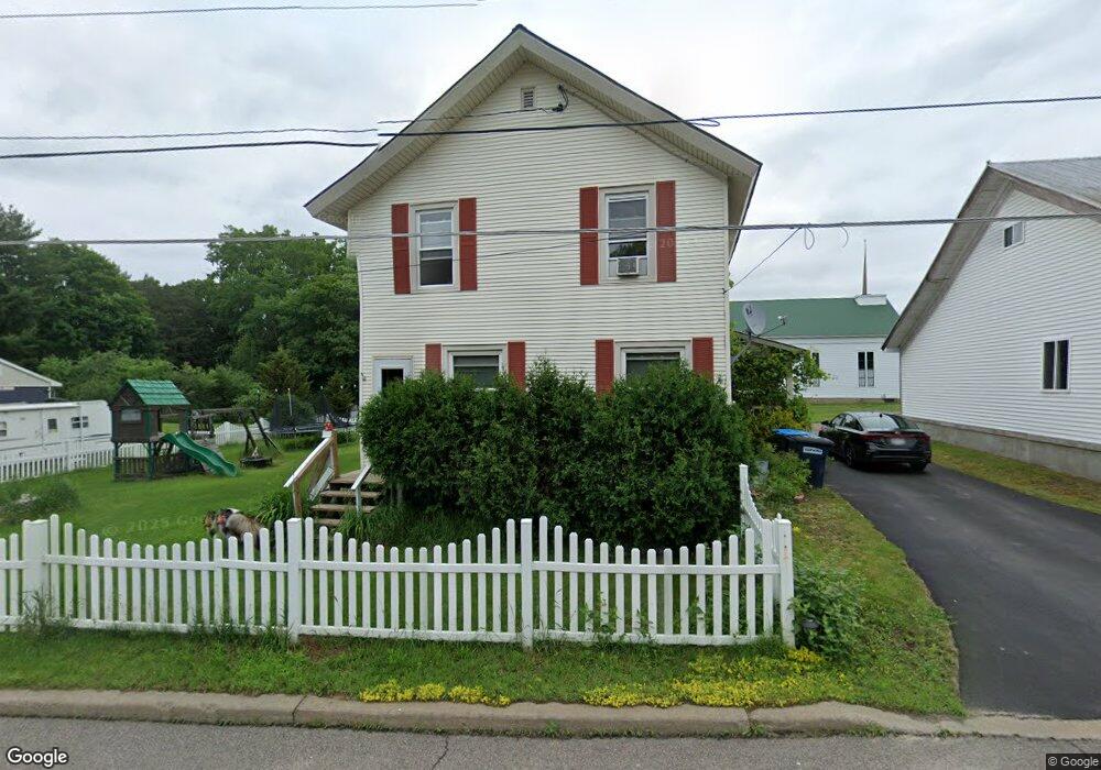
15904 State Route 30 Constable, NY 12926
Estimated Value: $161,000 - $208,000
4
Beds
2
Baths
2,543
Sq Ft
$71/Sq Ft
Est. Value
About This Home
This home is located at 15904 State Route 30, Constable, NY 12926 and is currently estimated at $181,568, approximately $71 per square foot. 15904 State Route 30 is a home located in Franklin County with nearby schools including Saint Joseph's Elementary School, Malone Middle School, and Franklin Academy High School.
Ownership History
Date
Name
Owned For
Owner Type
Purchase Details
Closed on
Oct 12, 2012
Sold by
Davis Bryan
Bought by
Fleury Christopher
Current Estimated Value
Purchase Details
Closed on
Aug 15, 2006
Sold by
Barney Leonard A
Bought by
Davis Bryan J
Home Financials for this Owner
Home Financials are based on the most recent Mortgage that was taken out on this home.
Original Mortgage
$76,000
Interest Rate
6.8%
Mortgage Type
Unknown
Create a Home Valuation Report for This Property
The Home Valuation Report is an in-depth analysis detailing your home's value as well as a comparison with similar homes in the area
Purchase History
| Date | Buyer | Sale Price | Title Company |
|---|---|---|---|
| Fleury Christopher | $85,000 | James E. Martineau | |
| Davis Bryan J | $80,000 | Cantwell & Cantwell |
Source: Public Records
Mortgage History
| Date | Status | Borrower | Loan Amount |
|---|---|---|---|
| Previous Owner | Davis Bryan J | $76,000 |
Source: Public Records
Tax History
| Year | Tax Paid | Tax Assessment Tax Assessment Total Assessment is a certain percentage of the fair market value that is determined by local assessors to be the total taxable value of land and additions on the property. | Land | Improvement |
|---|---|---|---|---|
| 2024 | $2,771 | $10,500 | $180 | $10,320 |
| 2023 | $2,533 | $10,500 | $180 | $10,320 |
| 2022 | $2,591 | $10,500 | $180 | $10,320 |
| 2021 | $2,675 | $10,500 | $180 | $10,320 |
| 2020 | $2,118 | $10,500 | $180 | $10,320 |
| 2019 | $2,149 | $10,500 | $180 | $10,320 |
| 2018 | $2,183 | $10,500 | $180 | $10,320 |
| 2017 | $2,205 | $10,500 | $180 | $10,320 |
| 2016 | $2,159 | $10,500 | $180 | $10,320 |
| 2015 | -- | $10,500 | $180 | $10,320 |
| 2014 | -- | $10,500 | $180 | $10,320 |
Source: Public Records
Map
Nearby Homes
- 555 County Route 20
- 1182 State Route 122
- 55 Riverside Dr
- 0 Davenport Dr Unit 164144
- 16008 New York 30
- 1285 State Route 122
- 15703 State Route 30
- 152 Shadow Ln
- 0 Cargin Rd
- . Stone Rd
- 34 Heather Dr
- 53 Heather Dr
- 433 Constable Burke Townline Rd
- 0 Constable Burke Townline Rd
- 3989 State Route 37
- 347 Cold Springs Rd
- 4 Lower Park St
- 215 Park St
- 44 Murray St
- 255 Cold Springs Rd
- 15904 New York 30
- 15903 New York 30
- 15903 State Route 30
- 15910 State Route 30
- 15897 State Route 30
- 15914 State Route 30
- 1123 State Route 122
- . New York 122
- . State Route 122 and State Rout
- . State Route 122 and State Route 37
- 15915 State Route 30
- 1145 State Route 122
- 15918 State Route 30
- 1128 State Route 122
- 15917 State Route 30
- 15921 State Route 30
- 1142 State Route 122
- 1148 State Route 122
- 1142 New York 30
- 15924 State Route 30
Your Personal Tour Guide
Ask me questions while you tour the home.