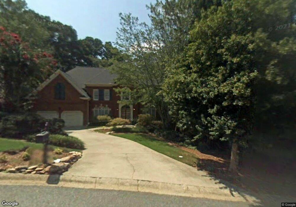
1591 Asheforde Dr Unit 2 Marietta, GA 30068
East Cobb NeighborhoodEstimated Value: $1,145,112 - $1,312,000
6
Beds
6
Baths
3,782
Sq Ft
$327/Sq Ft
Est. Value
About This Home
This home is located at 1591 Asheforde Dr Unit 2, Marietta, GA 30068 and is currently estimated at $1,237,778, approximately $327 per square foot. 1591 Asheforde Dr Unit 2 is a home located in Cobb County with nearby schools including Mount Bethel Elementary School, Dickerson Middle School, and Walton High School.
Ownership History
Date
Name
Owned For
Owner Type
Purchase Details
Closed on
Sep 30, 2005
Sold by
Epperson Stanley R and Epperson Melinda
Bought by
Heinrichs Steven S and Heinrichs Linda
Current Estimated Value
Home Financials for this Owner
Home Financials are based on the most recent Mortgage that was taken out on this home.
Original Mortgage
$103,500
Interest Rate
5.66%
Mortgage Type
Stand Alone Refi Refinance Of Original Loan
Create a Home Valuation Report for This Property
The Home Valuation Report is an in-depth analysis detailing your home's value as well as a comparison with similar homes in the area
Home Values in the Area
Average Home Value in this Area
Purchase History
| Date | Buyer | Sale Price | Title Company |
|---|---|---|---|
| Heinrichs Steven S | $690,000 | -- |
Source: Public Records
Mortgage History
| Date | Status | Borrower | Loan Amount |
|---|---|---|---|
| Closed | Heinrichs Steven S | $103,500 |
Source: Public Records
Tax History Compared to Growth
Tax History
| Year | Tax Paid | Tax Assessment Tax Assessment Total Assessment is a certain percentage of the fair market value that is determined by local assessors to be the total taxable value of land and additions on the property. | Land | Improvement |
|---|---|---|---|---|
| 2025 | $8,598 | $338,216 | $72,000 | $266,216 |
| 2024 | $8,604 | $338,216 | $72,000 | $266,216 |
| 2023 | $8,062 | $338,216 | $72,000 | $266,216 |
| 2022 | $8,221 | $317,728 | $60,000 | $257,728 |
| 2021 | $8,221 | $317,728 | $60,000 | $257,728 |
| 2020 | $8,221 | $317,728 | $60,000 | $257,728 |
| 2019 | $8,221 | $317,728 | $60,000 | $257,728 |
| 2018 | $7,396 | $280,008 | $60,000 | $220,008 |
| 2017 | $7,131 | $280,008 | $60,000 | $220,008 |
| 2016 | $7,142 | $280,008 | $60,000 | $220,008 |
| 2015 | $7,291 | $280,008 | $60,000 | $220,008 |
| 2014 | $6,986 | $264,208 | $0 | $0 |
Source: Public Records
Map
Nearby Homes
- 1731 E Bank Dr
- 5617 Asheforde Ln
- 220 High Branch Way
- 889 Waterford Green
- 3245 Bywater Trail Unit 6B
- 1525 Huntingford Dr
- 1281 Riversound Dr
- 1720 Little Willeo Rd
- 1382 Huntingford Dr Unit 2
- 5150 Timber Ridge Rd
- 2039 Old Forge Way
- 5184 Deering Trail Unit 2
- 5140 Timber Ridge Rd
- 1294 Waterford Green Trail
- 5473 Heyward Square Place
- 5122 Timber Ridge Rd
- 1129 Topaz Way
- 1804 Shelburne Ridge
- 1593 Asheforde Dr
- 1589 Asheforde Dr Unit 2
- 5540 Jackson Dr
- 5545 Jackson Dr Unit 1
- 1595 Asheforde Dr
- 1587 Asheforde Dr Unit 2
- 1590 Asheforde Dr
- 1588 Asheforde Dr
- 1597 Asheforde Dr
- 1662 E Bank Dr
- 0 Jackson Dr Unit 7395672
- 1682 E Bank Dr Unit 1
- 0 Asheview Ct Unit 8551159
- 1692 E Bank Dr Unit 1
- 1580 Asheforde Dr
- 1652 E Bank Dr Unit 1
- 1585 Asheforde Dr
- 1596 Asheforde Dr
- 1702 E Bank Dr
- 798 Asheview Ct