1591 Carole Way Unit U38 Redwood City, CA 94061
Palm Park NeighborhoodEstimated Value: $1,348,000 - $1,851,000
3
Beds
3
Baths
1,947
Sq Ft
$777/Sq Ft
Est. Value
About This Home
This home is located at 1591 Carole Way Unit U38, Redwood City, CA 94061 and is currently estimated at $1,513,153, approximately $777 per square foot. 1591 Carole Way Unit U38 is a home located in San Mateo County with nearby schools including Henry Ford Elementary School, John F. Kennedy Middle School, and Woodside High School.
Ownership History
Date
Name
Owned For
Owner Type
Purchase Details
Closed on
Jan 17, 2005
Sold by
Lui Bonnie J
Bought by
Lui Bonnie J
Current Estimated Value
Purchase Details
Closed on
May 30, 2002
Sold by
Shea Kenneth W and Shea Laura Ann
Bought by
Lui Bonnie J
Home Financials for this Owner
Home Financials are based on the most recent Mortgage that was taken out on this home.
Original Mortgage
$150,000
Outstanding Balance
$59,191
Interest Rate
5.87%
Mortgage Type
New Conventional
Estimated Equity
$1,453,962
Purchase Details
Closed on
Oct 20, 1999
Sold by
Emily Schwartz S
Bought by
Shea Kenneth W and Shea Laura Ann
Home Financials for this Owner
Home Financials are based on the most recent Mortgage that was taken out on this home.
Original Mortgage
$356,000
Interest Rate
7.12%
Mortgage Type
Purchase Money Mortgage
Create a Home Valuation Report for This Property
The Home Valuation Report is an in-depth analysis detailing your home's value as well as a comparison with similar homes in the area
Home Values in the Area
Average Home Value in this Area
Purchase History
| Date | Buyer | Sale Price | Title Company |
|---|---|---|---|
| Lui Bonnie J | -- | -- | |
| Lui Bonnie J | $610,000 | Fidelity National Title Co | |
| Shea Kenneth W | $445,000 | Fidelity National Title Co |
Source: Public Records
Mortgage History
| Date | Status | Borrower | Loan Amount |
|---|---|---|---|
| Open | Lui Bonnie J | $150,000 | |
| Previous Owner | Shea Kenneth W | $356,000 |
Source: Public Records
Tax History Compared to Growth
Tax History
| Year | Tax Paid | Tax Assessment Tax Assessment Total Assessment is a certain percentage of the fair market value that is determined by local assessors to be the total taxable value of land and additions on the property. | Land | Improvement |
|---|---|---|---|---|
| 2025 | $10,875 | $901,131 | $270,332 | $630,799 |
| 2023 | $10,875 | $866,141 | $259,836 | $606,305 |
| 2022 | $10,171 | $849,159 | $254,742 | $594,417 |
| 2021 | $9,010 | $832,510 | $249,748 | $582,762 |
| 2020 | $8,888 | $823,975 | $247,188 | $576,787 |
| 2019 | $8,853 | $807,820 | $242,342 | $565,478 |
| 2018 | $8,619 | $791,982 | $237,591 | $554,391 |
| 2017 | $8,524 | $776,454 | $232,933 | $543,521 |
| 2016 | $8,393 | $761,230 | $228,366 | $532,864 |
| 2015 | $8,144 | $749,796 | $224,936 | $524,860 |
| 2014 | $7,987 | $735,109 | $220,530 | $514,579 |
Source: Public Records
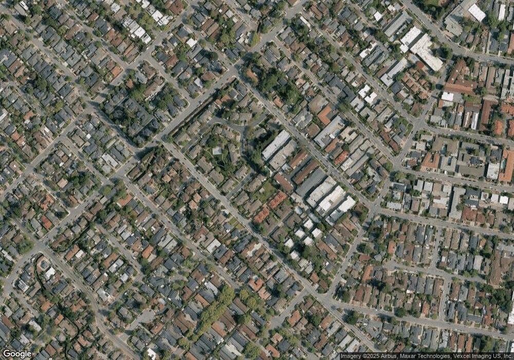
Map
Nearby Homes
- 1430 Gordon St Unit C
- 1029 Redwood Ave
- 1105 Oak Ave
- 1186 Lyons St
- 1334 Norman St
- 1506 Kentfield Ave
- 1 Doris Ct
- 1144 Mckinley St
- 1458 Hudson St Unit 202
- 1458 Hudson St Unit 305
- 1567 Hawes Ct
- 1522 Hudson St
- 1010 Roosevelt Ave
- 1105 Valota Rd
- 1465 Bonnie Ct
- 1035 Valota Rd
- 1625 Kentfield Ave
- 924 Woodside Rd
- 991 Valota Rd
- 8 Kentfield Ct
- 1210 Chantel Way Unit 23
- 1225 Chantel Way
- 1399 Kentfield Ave Unit 32
- 1389 Kentfield Ave
- 1369 Kentfield Ave
- 1222 Chantel Way
- 1220 Chantel Way Unit 27
- 1216 Chantel Way
- 1214 Chantel Way Unit 25
- 1212 Chantel Way Unit 24
- 1210 Chantel Way
- 1208 Chantel Way
- 1576 Carole Way
- 1580 Carole Way
- 1599 Carole Way
- 1597 Carole Way Unit U40
- 1593 Carole Way Unit U39
- 1589 Carole Way
- 1590 Carole Way
- 1592 Carole Way