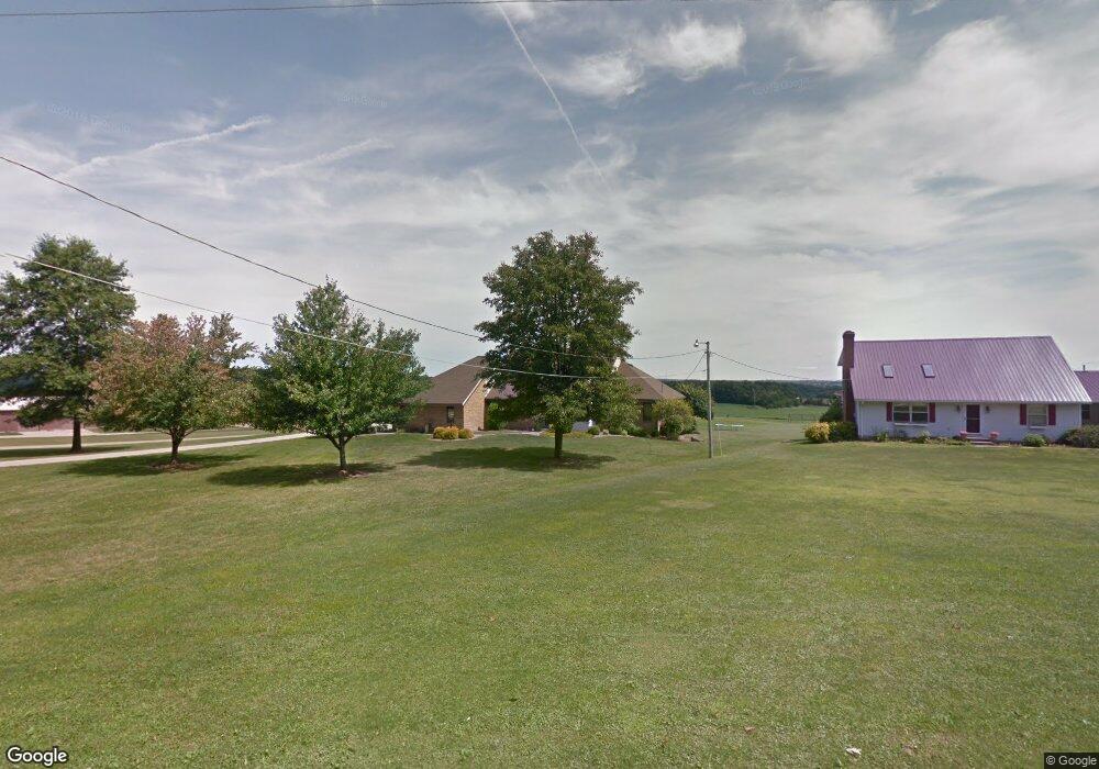
1591 Hulit Rd Mansfield, OH 44903
Estimated Value: $372,866 - $390,000
3
Beds
3
Baths
2,384
Sq Ft
$161/Sq Ft
Est. Value
About This Home
This home is located at 1591 Hulit Rd, Mansfield, OH 44903 and is currently estimated at $384,717, approximately $161 per square foot. 1591 Hulit Rd is a home located in Richland County with nearby schools including Madison High School, St. Mary Catholic School, and Temple-Christian School.
Ownership History
Date
Name
Owned For
Owner Type
Purchase Details
Closed on
Apr 25, 2012
Sold by
Wittmer Phillip A and Wittmer Vickie L
Bought by
Delong Heather R and The Wittmer Keystone Inheritance Trust
Current Estimated Value
Purchase Details
Closed on
Apr 2, 2012
Sold by
Delong Heather R
Bought by
Wittmer Phillip A and Wittmer Vickie L
Purchase Details
Closed on
Sep 17, 2009
Sold by
Wittmer Phillip A and Wittmer Vickie L
Bought by
Delong Heather R
Purchase Details
Closed on
Oct 9, 1990
Bought by
Wittmer Phillip A
Create a Home Valuation Report for This Property
The Home Valuation Report is an in-depth analysis detailing your home's value as well as a comparison with similar homes in the area
Home Values in the Area
Average Home Value in this Area
Purchase History
| Date | Buyer | Sale Price | Title Company |
|---|---|---|---|
| Delong Heather R | -- | Chicago Title | |
| Wittmer Phillip A | -- | Chicago Title | |
| Delong Heather R | -- | Chicago Title | |
| Delong Heather R | -- | Attorney | |
| Wittmer Phillip A | -- | -- |
Source: Public Records
Tax History Compared to Growth
Tax History
| Year | Tax Paid | Tax Assessment Tax Assessment Total Assessment is a certain percentage of the fair market value that is determined by local assessors to be the total taxable value of land and additions on the property. | Land | Improvement |
|---|---|---|---|---|
| 2024 | $4,413 | $97,130 | $11,170 | $85,960 |
| 2023 | $4,413 | $97,130 | $11,170 | $85,960 |
| 2022 | $3,333 | $69,510 | $8,950 | $60,560 |
| 2021 | $3,332 | $69,510 | $8,950 | $60,560 |
| 2020 | $3,357 | $69,510 | $8,950 | $60,560 |
| 2019 | $2,940 | $58,410 | $7,520 | $50,890 |
| 2018 | $2,914 | $58,410 | $7,520 | $50,890 |
| 2017 | $3,142 | $58,410 | $7,520 | $50,890 |
| 2016 | $3,142 | $62,040 | $7,140 | $54,900 |
| 2015 | $3,142 | $62,040 | $7,140 | $54,900 |
| 2014 | $3,080 | $62,040 | $7,140 | $54,900 |
| 2012 | $2,994 | $65,310 | $7,520 | $57,790 |
Source: Public Records
Map
Nearby Homes
- 1791 Beal Rd
- 1292 Wolford Rd
- 1171 Hoover Rd
- 1585 Beal Rd
- 2202 Lakewood Dr
- 0 Hoover Rd
- 1951 Woodmont Rd
- 1806 Richard Dr
- 1997 Hout Rd
- 1106 Keller Dr Unit 1108
- 920 Piper Rd
- 1151 Beal Rd
- 1245 N Stewart Rd
- 1158 Delwood Rd
- 1150 Delwood Dr
- 1910 Crider Rd
- 903 Mayflower Ave
- 2270 Lakecrest Dr Unit 2272
- 683 Coachman Rd
- 671 Coachman Rd