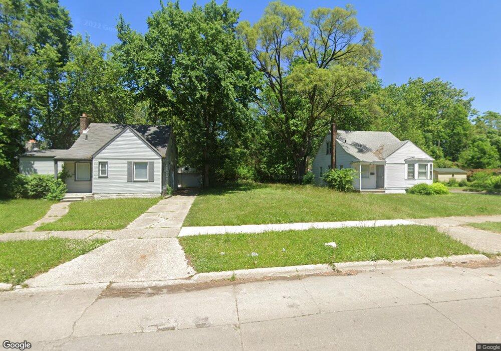
15910 Curtis St Detroit, MI 48235
College Park NeighborhoodEstimated Value: $77,000 - $106,000
3
Beds
1
Bath
802
Sq Ft
$114/Sq Ft
Est. Value
About This Home
This home is located at 15910 Curtis St, Detroit, MI 48235 and is currently estimated at $91,500, approximately $114 per square foot. 15910 Curtis St is a home located in Wayne County with nearby schools including John R. King Academic And Performing Arts Academy, Charles L. Spain Elementary-Middle School, and Edward 'Duke' Ellington Conservatory of Music and Art.
Ownership History
Date
Name
Owned For
Owner Type
Purchase Details
Closed on
May 8, 2025
Sold by
Detroit Land Bank Authority
Bought by
Pr2omise Peers Responding To Overlooked Matters I
Current Estimated Value
Purchase Details
Closed on
Jan 12, 2017
Sold by
Sabree Eric R
Bought by
Detroit Land Bank Authority
Purchase Details
Closed on
Nov 7, 2013
Sold by
Wayne County Treasurer
Bought by
Mcintosh Sylvester
Purchase Details
Closed on
Apr 21, 2011
Sold by
Us Investment Lv Llc
Bought by
Jaffrey Abid H
Purchase Details
Closed on
Nov 29, 2010
Sold by
Wojtowicz Raymond J
Bought by
Us Investment Lv Llc
Create a Home Valuation Report for This Property
The Home Valuation Report is an in-depth analysis detailing your home's value as well as a comparison with similar homes in the area
Home Values in the Area
Average Home Value in this Area
Purchase History
| Date | Buyer | Sale Price | Title Company |
|---|---|---|---|
| Pr2omise Peers Responding To Overlooked Matters I | $250 | None Listed On Document | |
| Pr2omise Peers Responding To Overlooked Matters I | $250 | None Listed On Document | |
| Detroit Land Bank Authority | -- | None Available | |
| Mcintosh Sylvester | $900 | None Available | |
| Jaffrey Abid H | -- | None Available | |
| Us Investment Lv Llc | $500 | None Available |
Source: Public Records
Tax History Compared to Growth
Tax History
| Year | Tax Paid | Tax Assessment Tax Assessment Total Assessment is a certain percentage of the fair market value that is determined by local assessors to be the total taxable value of land and additions on the property. | Land | Improvement |
|---|---|---|---|---|
| 2025 | -- | $0 | $0 | $0 |
| 2024 | -- | $0 | $0 | $0 |
| 2023 | $0 | $0 | $0 | $0 |
| 2022 | $0 | $0 | $0 | $0 |
| 2021 | $0 | $0 | $0 | $0 |
| 2020 | $1,426 | $0 | $0 | $0 |
| 2019 | $1,426 | $0 | $0 | $0 |
| 2018 | $0 | $7,900 | $0 | $0 |
| 2017 | $138 | $7,300 | $0 | $0 |
| 2016 | $1,468 | $16,200 | $0 | $0 |
| 2015 | $1,620 | $16,200 | $0 | $0 |
| 2013 | $2,279 | $22,794 | $0 | $0 |
| 2010 | -- | $32,659 | $869 | $31,790 |
Source: Public Records
Map
Nearby Homes
- 15900 Curtis St
- 18400 Rutherford St
- 18210 Saint Marys St
- 18230 Saint Marys St
- 15641 Pickford St
- 18071 Saint Marys St
- 7266 W Outer Dr
- 18460 Winthrop St
- 18277 Asbury Park
- 7275 W Outer Dr
- 18411 Asbury Park
- 18666 Forrer St
- 17360 Mansfield St
- 18021 Ferguson St
- 18699 Forrer St
- 18413 Ferguson St
- 17552 Ferguson St
- 18717 Winthrop St
- 17211 Rutherford St
- 18500 Biltmore St
- 15920 Curtis St
- 15930 Curtis St
- 18200 Rutherford St
- 18210 Rutherford St
- 18220 Rutherford St
- 15915 Curtis St
- 18234 Rutherford St
- 15858 Curtis St
- 15931 Curtis St
- 15903 Curtis St
- 15937 Curtis St
- 18242 Rutherford St
- 15846 Curtis St
- 15945 Curtis St
- 15945 Curtis St
- 18257 Prevost St
- 18250 Rutherford St
- 15851 Curtis St
- 18230 Prevost St
- 15840 Curtis St