Estimated Value: $417,000 - $767,000
2
Beds
3
Baths
1,460
Sq Ft
$425/Sq Ft
Est. Value
About This Home
This home is located at 15940 N Locust Tree Rd, Lodi, CA 95240 and is currently estimated at $621,012, approximately $425 per square foot. 15940 N Locust Tree Rd is a home located in San Joaquin County with nearby schools including Victor Elementary School, Houston School, and Lodi High School.
Ownership History
Date
Name
Owned For
Owner Type
Purchase Details
Closed on
Aug 5, 1996
Sold by
Lea Ralph M and Handel Martha
Bought by
Schmer William R and Schmer Nancy J
Current Estimated Value
Home Financials for this Owner
Home Financials are based on the most recent Mortgage that was taken out on this home.
Original Mortgage
$116,000
Outstanding Balance
$9,268
Interest Rate
8.33%
Mortgage Type
Assumption
Estimated Equity
$611,744
Create a Home Valuation Report for This Property
The Home Valuation Report is an in-depth analysis detailing your home's value as well as a comparison with similar homes in the area
Purchase History
| Date | Buyer | Sale Price | Title Company |
|---|---|---|---|
| Schmer William R | $145,000 | Old Republic Title Company |
Source: Public Records
Mortgage History
| Date | Status | Borrower | Loan Amount |
|---|---|---|---|
| Open | Schmer William R | $116,000 |
Source: Public Records
Tax History
| Year | Tax Paid | Tax Assessment Tax Assessment Total Assessment is a certain percentage of the fair market value that is determined by local assessors to be the total taxable value of land and additions on the property. | Land | Improvement |
|---|---|---|---|---|
| 2025 | $3,041 | $273,575 | $90,487 | $183,088 |
| 2024 | $2,961 | $268,212 | $88,713 | $179,499 |
| 2023 | $2,927 | $262,954 | $86,974 | $175,980 |
| 2022 | $2,864 | $257,799 | $85,269 | $172,530 |
| 2021 | $2,911 | $252,746 | $83,598 | $169,148 |
| 2020 | $2,839 | $250,155 | $82,741 | $167,414 |
| 2019 | $2,783 | $245,251 | $81,119 | $164,132 |
| 2018 | $2,744 | $240,443 | $79,529 | $160,914 |
| 2017 | $2,685 | $235,729 | $77,970 | $157,759 |
| 2016 | $2,524 | $231,109 | $76,442 | $154,667 |
| 2014 | $2,461 | $223,180 | $73,819 | $149,361 |
Source: Public Records
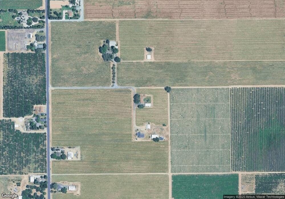
Map
Nearby Homes
- 15910 N Locust Tree Rd
- 17036 N Locust Tree Rd
- 17010 N Locust Tree Rd
- 18450 N Highway 88 Unit 29
- 16464 Fox Rd
- 18050 N Tretheway Rd
- 12116 Alpine Rd
- 13400 Hibbard Rd
- 7782 E Harney Ln
- 15918 N Jack Tone Rd
- 15155 N Curry Ave
- 14235 N Vintage Rd
- 6233 E Woodbridge Rd
- 12521 Locke Rd
- 18450 N Highway 88
- 18450 N Highway 88 Unit 17
- 18450 N Highway 88 Unit 14
- 18450 N Highway 88 Unit 7A
- 12718 Locke Rd
- 18450 California 88 Unit 44
- 15900 N Locust Tree Rd
- 16178 N Locust Tree Rd
- 15822 N Locust Tree Rd
- 15905 N Locust Tree Rd
- 16246 N Locust Tree Rd
- 16123 N Locust Tree Rd
- 15745 N Locust Tree Rd
- 15604 N Locust Tree Rd
- 16201 N Locust Tree Rd
- 16340 N Locust Tree Rd
- 15600 N Locust Tree Rd
- 15651 N Locust Tree Rd
- 16598 N Locust Tree Rd
- 10301 Newfield Rd
- 16510 N Locust Tree Rd
- 16441 N Locust Tree Rd
- 9995 Newfield Rd
- 15491 N Locust Tree Rd
- 16475 N Locust Tree Rd
- 15089 N Locust Tree Rd
Your Personal Tour Guide
Ask me questions while you tour the home.