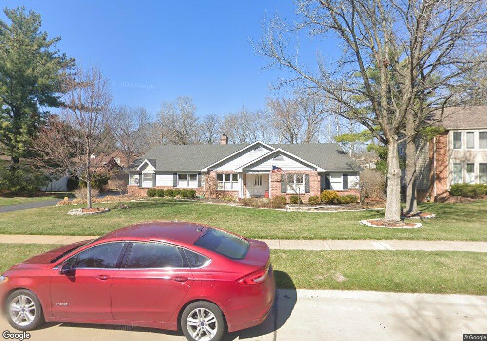
15945 Wetherburn Rd Chesterfield, MO 63017
Estimated Value: $629,000 - $755,300
4
Beds
3
Baths
2,665
Sq Ft
$257/Sq Ft
Est. Value
About This Home
This home is located at 15945 Wetherburn Rd, Chesterfield, MO 63017 and is currently estimated at $683,825, approximately $256 per square foot. 15945 Wetherburn Rd is a home located in St. Louis County with nearby schools including Kehrs Mill Elementary, Crestview Middle School, and Marquette Sr. High School.
Ownership History
Date
Name
Owned For
Owner Type
Purchase Details
Closed on
Aug 2, 2000
Sold by
Kite Robert B and Kite Susan S
Bought by
Titchen Jay L and Titchen Janet
Current Estimated Value
Home Financials for this Owner
Home Financials are based on the most recent Mortgage that was taken out on this home.
Original Mortgage
$250,000
Outstanding Balance
$90,583
Interest Rate
8.21%
Estimated Equity
$593,242
Create a Home Valuation Report for This Property
The Home Valuation Report is an in-depth analysis detailing your home's value as well as a comparison with similar homes in the area
Home Values in the Area
Average Home Value in this Area
Purchase History
| Date | Buyer | Sale Price | Title Company |
|---|---|---|---|
| Titchen Jay L | $300,000 | -- |
Source: Public Records
Mortgage History
| Date | Status | Borrower | Loan Amount |
|---|---|---|---|
| Open | Titchen Jay L | $250,000 |
Source: Public Records
Tax History Compared to Growth
Tax History
| Year | Tax Paid | Tax Assessment Tax Assessment Total Assessment is a certain percentage of the fair market value that is determined by local assessors to be the total taxable value of land and additions on the property. | Land | Improvement |
|---|---|---|---|---|
| 2025 | $7,781 | $121,170 | $42,050 | $79,120 |
| 2024 | $7,781 | $111,490 | $36,440 | $75,050 |
| 2023 | $7,774 | $111,490 | $36,440 | $75,050 |
| 2022 | $7,449 | $99,200 | $36,440 | $62,760 |
| 2021 | $7,394 | $99,200 | $36,440 | $62,760 |
| 2020 | $7,388 | $94,500 | $30,360 | $64,140 |
| 2019 | $7,417 | $94,500 | $30,360 | $64,140 |
| 2018 | $7,061 | $84,820 | $21,680 | $63,140 |
| 2017 | $6,894 | $84,820 | $21,680 | $63,140 |
| 2016 | $5,955 | $70,420 | $21,680 | $48,740 |
| 2015 | $5,834 | $70,420 | $21,680 | $48,740 |
| 2014 | $5,250 | $61,770 | $18,870 | $42,900 |
Source: Public Records
Map
Nearby Homes
- 15795 Scenic Green Ct
- 15789 Scenic Green Ct
- 34 Picardy Hill Dr
- 2364 the Courts Dr
- 501 Nottingham Dr
- 6 Chippenham Ln
- 426 Mayfair Dr
- 15831 Barons Way Dr
- 407 Lennox Dr
- 2202 White Cedar Ct
- 927 Claytonbrook Dr Unit 3
- 917 Claytonbrook Dr Unit 3
- 1026 Kehrs Mill Rd Unit 4
- 916 Claytonbrook Dr Unit 1
- 1019 Claytonbrook Dr Unit 1019
- 16094 Meadow Oak Dr
- 295 Meadowbrook Country Club Estate
- 2428 Powders Mill Dr
- 2242 Whitney Pointe Dr
- 304 Monteith Dr
- 15939 Wetherburn Rd
- 15953 Wetherburn Rd
- 15961 Downall Green Dr
- 15933 Wetherburn Rd
- 15944 Wetherburn Rd
- 15969 Downall Green Dr
- 15936 Wetherburn Rd
- 15952 Wetherburn Rd
- 15967 Wetherburn Rd
- 15960 Wetherburn Rd
- 15927 Wetherburn Rd
- 15968 Downall Green Dr
- 2351 Westpar Dr
- 15975 Downall Green Dr
- 15928 Wetherburn Rd
- 15966 Wetherburn Rd
- 15924 Fairway Lake
- 2347 Westpar Dr
- 15918 Fairway Lake
- 2359 Westpar Dr