

1595 Commonwealth Ave West Newton, MA 02465
West Newton Neighborhood
1
Bed
1
Bath
700
Sq Ft
0.36
Acres
About This Home
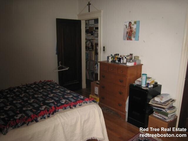
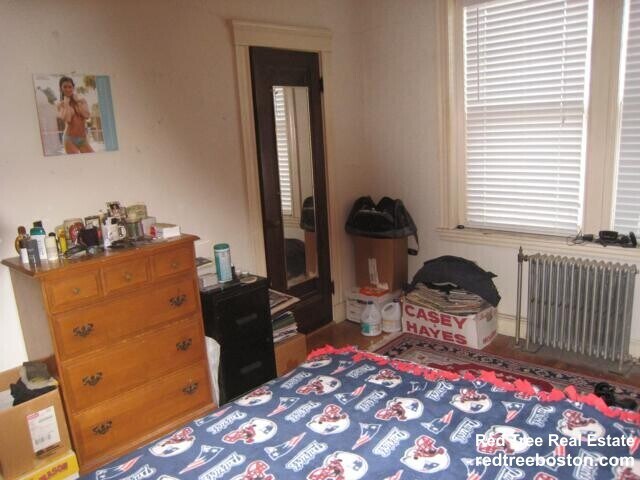
Nice unit with newly refinished hardwood floors, recent redone of kitchen and bathroom, classic Art deco building with swimming pool, short walk to BC and Cleveland circle right on T line, off street parking available close by.
Listing Provided By

Map
Property History
| Date | Event | Price | List to Sale | Price per Sq Ft |
|---|---|---|---|---|
| 11/24/2025 11/24/25 | For Rent | $2,450 | 0.0% | -- |
| 10/09/2025 10/09/25 | Off Market | $2,450 | -- | -- |
| 02/10/2025 02/10/25 | Off Market | -- | -- | -- |
| 02/03/2025 02/03/25 | For Rent | $2,450 | -- | -- |
| 01/21/2025 01/21/25 | For Rent | -- | -- | -- |
Nearby Homes
- 1640 Commonwealth Ave
- 10 Ruane Rd
- 40 Sewall St
- 1639 Washington St
- 18 Sewall St
- 1754 Washington St
- 17 Gilbert St
- 51 Bourne St
- 283 Woodland Rd
- 0 Duncan Rd Unit 72925240
- 39 Valentine Park
- 13 Weir St
- 115 Windsor Rd
- 10 Crescent St Unit 1
- 10 Crescent St Unit 2
- 17 Crescent St
- 308 Prince St
- 97 Valentine St
- 62-64 Rowe St Unit B
- 29 Montclair Rd
- 66 Forest Ave
- 115 Aspen Ave
- 34 Coyne Rd Unit 1
- 1383 Washington St
- 1383 Washington St Unit 3
- 1935 Commonwealth Ave Unit 603
- 79 Chestnut St Unit 2
- 25 Westfield Rd Unit 1
- 25 Westfield Rd Unit STU W. Newton
- 110 Webster St Unit 112
- 194 Auburn St Unit 1
- 194 Auburn St Unit 2
- 27 Gammons Rd Unit 27
- 30 Gammons Rd
- 1940 Washington St
- 52 Rowe St
- 112 Rowe St
- 25 Rowe St
- 25 Rowe St
- 21 Kinmonth Rd Unit 306