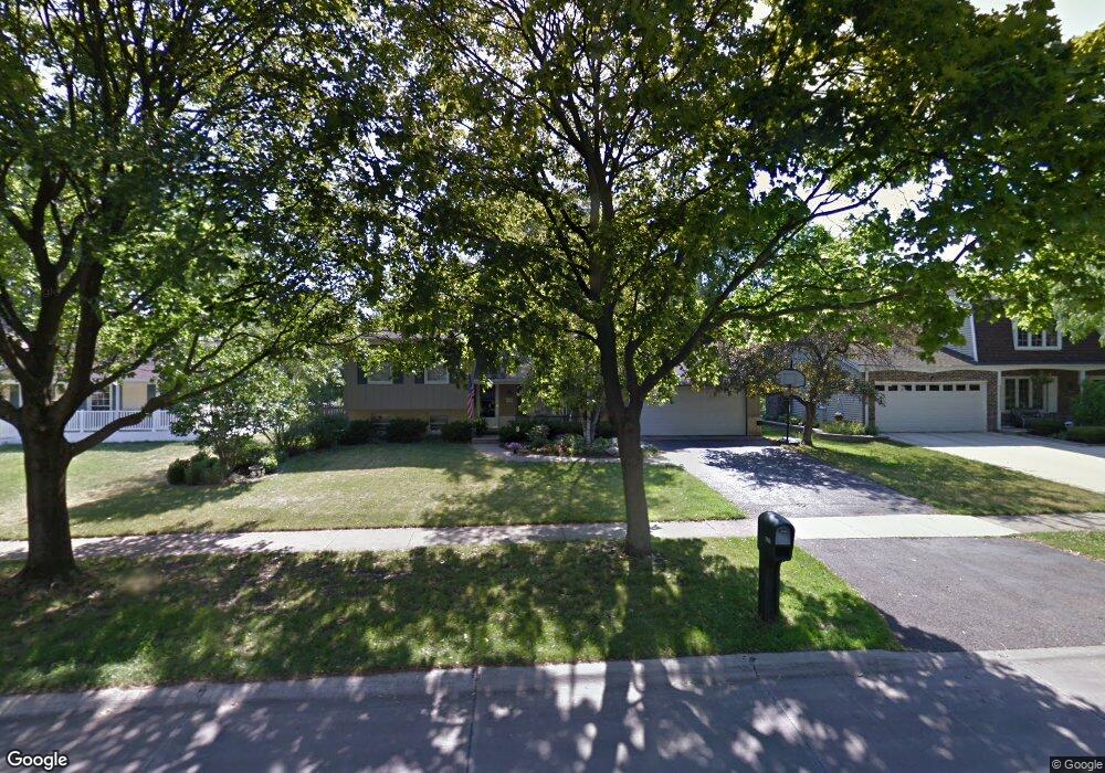
1596 Burning Trail Wheaton, IL 60189
West Wheaton NeighborhoodEstimated Value: $476,328 - $642,000
3
Beds
2
Baths
1,720
Sq Ft
$345/Sq Ft
Est. Value
About This Home
This home is located at 1596 Burning Trail, Wheaton, IL 60189 and is currently estimated at $592,582, approximately $344 per square foot. 1596 Burning Trail is a home located in DuPage County with nearby schools including Madison Elementary School, Edison Middle School, and Wheaton Warrenville South High School.
Ownership History
Date
Name
Owned For
Owner Type
Purchase Details
Closed on
Sep 1, 2006
Sold by
Coco Daniel T and Coco Mary Beth
Bought by
Coco Daniel T and Coco Mary Beth
Current Estimated Value
Purchase Details
Closed on
Jan 19, 1998
Sold by
Shuck Scott S and Shuck Linda A
Bought by
Coco Daniel T and Coco Mary B
Home Financials for this Owner
Home Financials are based on the most recent Mortgage that was taken out on this home.
Original Mortgage
$173,500
Interest Rate
7.32%
Create a Home Valuation Report for This Property
The Home Valuation Report is an in-depth analysis detailing your home's value as well as a comparison with similar homes in the area
Home Values in the Area
Average Home Value in this Area
Purchase History
| Date | Buyer | Sale Price | Title Company |
|---|---|---|---|
| Coco Daniel T | -- | None Available | |
| Coco Daniel T | $217,000 | First American Title |
Source: Public Records
Mortgage History
| Date | Status | Borrower | Loan Amount |
|---|---|---|---|
| Previous Owner | Coco Daniel T | $173,500 |
Source: Public Records
Tax History
| Year | Tax Paid | Tax Assessment Tax Assessment Total Assessment is a certain percentage of the fair market value that is determined by local assessors to be the total taxable value of land and additions on the property. | Land | Improvement |
|---|---|---|---|---|
| 2024 | $9,643 | $157,615 | $36,579 | $121,036 |
| 2023 | $9,264 | $145,080 | $33,670 | $111,410 |
| 2022 | $8,761 | $132,510 | $31,820 | $100,690 |
| 2021 | $8,731 | $129,360 | $31,060 | $98,300 |
| 2020 | $8,703 | $128,150 | $30,770 | $97,380 |
| 2019 | $8,503 | $124,770 | $29,960 | $94,810 |
| 2018 | $8,723 | $126,430 | $28,540 | $97,890 |
| 2017 | $8,592 | $121,770 | $27,490 | $94,280 |
| 2016 | $8,476 | $116,900 | $26,390 | $90,510 |
| 2015 | $8,411 | $111,530 | $25,180 | $86,350 |
| 2014 | $7,217 | $100,550 | $22,790 | $77,760 |
| 2013 | $7,031 | $100,850 | $22,860 | $77,990 |
Source: Public Records
Map
Nearby Homes
- 1605 Burning Trail
- 1601 W Wiesbrook Rd
- 1620 Hemstock Ave
- 1612 Stonebridge Trail
- 2099 Creekside Dr Unit 1-4
- 2043 Spring Green Dr
- 1420 Stonebridge Trail Unit 1-3
- Lot 1 Foothill Dr
- 1974 Wexford Cir Unit 123
- 1442 Stonebridge Cir Unit I8
- 1462 Stonebridge Cir Unit F10
- 1533 S County Farm Rd Unit 1-4
- 1110 S Gables Blvd
- 1028 Lodalia Ct
- 1S728 Shaffner Rd
- 1S710 Shaffner Rd
- 25W773 Sunnyridge Ct
- 1021 Greenwood Dr
- 615 Polo Dr
- 1219 Golf Ln
- 1592 Burning Trail
- 1602 Burning Trail
- 1586 Burning Trail
- 1608 Burning Trail
- 1599 Leabrook Ln
- 1593 Leabrook Ln
- 1605 Leabrook Ln
- 1599 Burning Trail
- 1613 Leabrook Ln
- 1593 Burning Trail
- 1580 Burning Trail
- 1587 Burning Trail
- 1612 Burning Trail
- 1589 Leabrook Ln
- 1619 Leabrook Ln
- 1581 Burning Trail
- 1581 Leabrook Ln Unit 2
- 1576 Burning Trail
- 1613 Burning Trail
- 1620 Burning Trail Unit 2
Your Personal Tour Guide
Ask me questions while you tour the home.