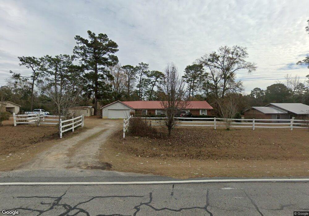
1596 Newton Rd Bainbridge, GA 39817
Estimated Value: $175,235 - $307,000
--
Bed
1
Bath
1,482
Sq Ft
$163/Sq Ft
Est. Value
About This Home
This home is located at 1596 Newton Rd, Bainbridge, GA 39817 and is currently estimated at $241,309, approximately $162 per square foot. 1596 Newton Rd is a home located in Decatur County with nearby schools including Bainbridge High School.
Ownership History
Date
Name
Owned For
Owner Type
Purchase Details
Closed on
Sep 15, 2021
Sold by
Kirkland William D
Bought by
Haughton Amanda Michele
Current Estimated Value
Purchase Details
Closed on
Oct 13, 2005
Sold by
Lewis Kevin L
Bought by
Kirkland William D and Kirkland Amanda M
Home Financials for this Owner
Home Financials are based on the most recent Mortgage that was taken out on this home.
Original Mortgage
$50,000
Interest Rate
5.71%
Mortgage Type
New Conventional
Create a Home Valuation Report for This Property
The Home Valuation Report is an in-depth analysis detailing your home's value as well as a comparison with similar homes in the area
Home Values in the Area
Average Home Value in this Area
Purchase History
| Date | Buyer | Sale Price | Title Company |
|---|---|---|---|
| Haughton Amanda Michele | -- | -- | |
| Kirkland William D | $70,000 | -- |
Source: Public Records
Mortgage History
| Date | Status | Borrower | Loan Amount |
|---|---|---|---|
| Previous Owner | Kirkland William D | $50,000 | |
| Previous Owner | Kirkland William D | $20,000 |
Source: Public Records
Tax History Compared to Growth
Tax History
| Year | Tax Paid | Tax Assessment Tax Assessment Total Assessment is a certain percentage of the fair market value that is determined by local assessors to be the total taxable value of land and additions on the property. | Land | Improvement |
|---|---|---|---|---|
| 2024 | $1,435 | $49,649 | $4,000 | $45,649 |
| 2023 | $1,012 | $49,649 | $4,000 | $45,649 |
| 2022 | $1,378 | $49,356 | $4,000 | $45,356 |
| 2021 | $1,229 | $43,468 | $4,000 | $39,468 |
| 2020 | $1,109 | $37,514 | $4,000 | $33,514 |
| 2019 | $1,009 | $33,125 | $4,000 | $29,125 |
| 2018 | $997 | $33,125 | $4,000 | $29,125 |
| 2017 | $1,039 | $33,125 | $4,000 | $29,125 |
| 2016 | $977 | $33,125 | $4,000 | $29,125 |
| 2015 | $990 | $33,125 | $4,000 | $29,125 |
| 2014 | $864 | $33,125 | $4,000 | $29,125 |
| 2013 | -- | $33,124 | $4,000 | $29,124 |
Source: Public Records
Map
Nearby Homes
- 116 Flint River Heights Rd
- 150 Rivervale Dr
- 0 Pine St Unit 10993
- 116 Rivervale Dr
- 2137 Pondtown Rd
- 000 E River Rd
- 287 Cloverleaf Cir
- 1013 E Cumberland Ct
- 467 745 Lot St N
- 604 Martin St
- 1063 Plantation Rd
- 2036 Lexington Ave
- 2032 Lexington Ave
- 1302 Talmadge St
- 851 Colquitt Hwy
- 811 Colquitt Hwy
- Lots Lott 19 & 20
- LOT 9 BL Mountainview Way
- 160 Manhole Rd
- 1351 Reynolds St