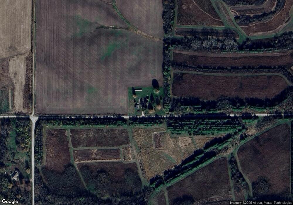
15960 Capp Rd Morrison, IL 61270
Estimated Value: $211,000 - $291,000
4
Beds
2
Baths
2,140
Sq Ft
$121/Sq Ft
Est. Value
About This Home
This home is located at 15960 Capp Rd, Morrison, IL 61270 and is currently estimated at $258,717, approximately $120 per square foot. 15960 Capp Rd is a home located in Whiteside County with nearby schools including Northside School, Southside School, and Morrison Junior High School.
Ownership History
Date
Name
Owned For
Owner Type
Purchase Details
Closed on
Oct 23, 2017
Sold by
Warrner Nicholas W and Warrner Kelsey L
Bought by
Mulderink Mark A and Mulderink Janis M
Current Estimated Value
Home Financials for this Owner
Home Financials are based on the most recent Mortgage that was taken out on this home.
Original Mortgage
$153,000
Outstanding Balance
$127,901
Interest Rate
3.85%
Mortgage Type
Future Advance Clause Open End Mortgage
Estimated Equity
$130,816
Purchase Details
Closed on
Feb 18, 2011
Sold by
Venhuizen Gary and Venhuizen Penny K
Bought by
Warrner Nicholas W and Warrner Kelsey L
Home Financials for this Owner
Home Financials are based on the most recent Mortgage that was taken out on this home.
Original Mortgage
$182,750
Interest Rate
4.81%
Mortgage Type
New Conventional
Create a Home Valuation Report for This Property
The Home Valuation Report is an in-depth analysis detailing your home's value as well as a comparison with similar homes in the area
Purchase History
| Date | Buyer | Sale Price | Title Company |
|---|---|---|---|
| Mulderink Mark A | $170,000 | None Available | |
| Warrner Nicholas W | $215,000 | Hbw Title |
Source: Public Records
Mortgage History
| Date | Status | Borrower | Loan Amount |
|---|---|---|---|
| Open | Mulderink Mark A | $153,000 | |
| Previous Owner | Warrner Nicholas W | $182,750 |
Source: Public Records
Tax History
| Year | Tax Paid | Tax Assessment Tax Assessment Total Assessment is a certain percentage of the fair market value that is determined by local assessors to be the total taxable value of land and additions on the property. | Land | Improvement |
|---|---|---|---|---|
| 2024 | $4,879 | $70,572 | $5,884 | $64,688 |
| 2023 | $4,079 | $67,652 | $4,789 | $62,863 |
| 2022 | $3,901 | $64,101 | $4,538 | $59,563 |
| 2021 | $3,765 | $61,885 | $4,381 | $57,504 |
| 2020 | $3,661 | $59,769 | $4,231 | $55,538 |
| 2019 | $3,774 | $52,507 | $4,284 | $48,223 |
| 2018 | $3,849 | $51,515 | $4,184 | $47,331 |
| 2017 | $3,613 | $49,514 | $4,856 | $44,658 |
| 2016 | $3,499 | $47,997 | $4,707 | $43,290 |
| 2015 | $1,722 | $26,032 | $4,161 | $21,871 |
| 2014 | $1,640 | $25,082 | $4,009 | $21,073 |
| 2013 | $1,722 | $26,032 | $4,161 | $21,871 |
Source: Public Records
Map
Nearby Homes
- 0 Capp Rd
- 0 Spring Valley Rd Unit 26078455
- 0 Spring Valley Rd Unit MRD12550280
- 18250 Malvern Rd
- 15344 Norrish Rd
- 0 Garden Plain Rd Unit NOC6335284
- TBD Hilltop Dr
- 805 Keith Dr
- 523 Barden St
- 602 Glenwood Dr
- 00 N Jackson St
- 208 Johnson St
- 604 Hillandale Ct
- 620 Hillandale Dr
- 13629 Garden Plain Rd
- 624 W Lincolnway
- 402 W Lincolnway
- 400 E Knox St
- 105 E Knox St
- 617 W Lincolnway
Your Personal Tour Guide
Ask me questions while you tour the home.