15961 Mcclellan Rd Springport, MI 49284
Estimated Value: $201,000 - $259,341
3
Beds
2
Baths
1,100
Sq Ft
$209/Sq Ft
Est. Value
About This Home
This home is located at 15961 Mcclellan Rd, Springport, MI 49284 and is currently estimated at $230,085, approximately $209 per square foot. 15961 Mcclellan Rd is a home located in Jackson County with nearby schools including Springport Elementary School, Springport Middle School, and Springport High School.
Ownership History
Date
Name
Owned For
Owner Type
Purchase Details
Closed on
Jun 25, 2007
Sold by
Fannie Mae
Bought by
Merritt Charles E
Current Estimated Value
Home Financials for this Owner
Home Financials are based on the most recent Mortgage that was taken out on this home.
Original Mortgage
$108,000
Outstanding Balance
$66,726
Interest Rate
6.37%
Mortgage Type
Purchase Money Mortgage
Estimated Equity
$163,359
Purchase Details
Closed on
Jan 17, 2006
Sold by
Mortgage Electronic Registration Systems
Bought by
Federal National Mortgage Association
Purchase Details
Closed on
Aug 29, 2003
Sold by
Ellis Mary Lou and Ellis Johnie B
Bought by
Bieskie David R and Bieskie Jodi A
Home Financials for this Owner
Home Financials are based on the most recent Mortgage that was taken out on this home.
Original Mortgage
$93,250
Interest Rate
5.97%
Mortgage Type
Purchase Money Mortgage
Purchase Details
Closed on
Oct 1, 1994
Bought by
Ellis
Create a Home Valuation Report for This Property
The Home Valuation Report is an in-depth analysis detailing your home's value as well as a comparison with similar homes in the area
Home Values in the Area
Average Home Value in this Area
Purchase History
| Date | Buyer | Sale Price | Title Company |
|---|---|---|---|
| Merritt Charles E | $105,000 | Fidelity National Title | |
| Federal National Mortgage Association | -- | None Available | |
| Bieskie David R | $116,600 | Chicago Title | |
| Ellis | $67,900 | -- |
Source: Public Records
Mortgage History
| Date | Status | Borrower | Loan Amount |
|---|---|---|---|
| Open | Merritt Charles E | $108,000 | |
| Previous Owner | Bieskie David R | $93,250 | |
| Closed | Bieskie David R | $17,490 |
Source: Public Records
Tax History Compared to Growth
Tax History
| Year | Tax Paid | Tax Assessment Tax Assessment Total Assessment is a certain percentage of the fair market value that is determined by local assessors to be the total taxable value of land and additions on the property. | Land | Improvement |
|---|---|---|---|---|
| 2025 | $2,281 | $103,100 | $0 | $0 |
| 2024 | $708 | $95,200 | $0 | $0 |
| 2023 | $668 | $79,800 | $0 | $0 |
| 2022 | $1,427 | $73,300 | $0 | $0 |
| 2021 | $2,031 | $74,300 | $0 | $0 |
| 2020 | $615 | $83,500 | $0 | $0 |
| 2019 | $1,968 | $76,000 | $0 | $0 |
| 2018 | $1,929 | $52,600 | $0 | $0 |
| 2017 | $1,653 | $46,700 | $0 | $0 |
| 2016 | $524 | $46,700 | $46,700 | $0 |
| 2015 | -- | $48,800 | $48,800 | $0 |
| 2014 | -- | $51,700 | $51,700 | $0 |
| 2013 | -- | $51,700 | $51,700 | $0 |
Source: Public Records
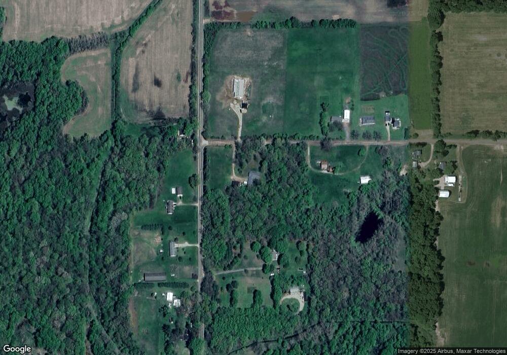
Map
Nearby Homes
- 261 Mechanic St
- 10870 Eaton Rapids Rd
- 598 E Main St
- 0 Green St
- 252 Bay Port Cir Unit 19
- 231 Bay Port Cir Unit 68
- 12315 Kimler Rd
- 0 R-Drive N
- 403 Green St
- 29510 S Dr N
- 9760 Blue Heron
- 9733 Blue Heron
- 16594 Stark Rd
- 16711 Stark Rd
- 8840 Houston Rd
- 12333 Brown Rd
- 19822 27 1 2 Mile Rd
- 7295 N Gibbs Rd
- 7283 Peck Rd
- 9761 Brown Rd
- 7.11 Ac Vl Mc Clellan Rd
- 11302 Holibaugh Rd
- 11501 Holibaugh Rd
- 11391 Holibaugh Rd
- 15886 Mcclellan Rd
- 11383 Holibaugh Rd
- 15738 Mcclellan Rd
- 11300 Holibaugh Rd
- 11300 Holibaugh Rd
- 11264 Holibaugh Rd
- 11259 Holibaugh Rd
- 11259 Holibaugh Rd
- 15701 Mcclellan Rd
- 11162 Holibaugh Rd
- 11669 Holibaugh Rd
- 0000 Holibaugh Rd
- 11740 Holibaugh Rd
- 11750 Holibaugh Rd
- 15502 Mcclellan Rd
- 11290 Camm Rd