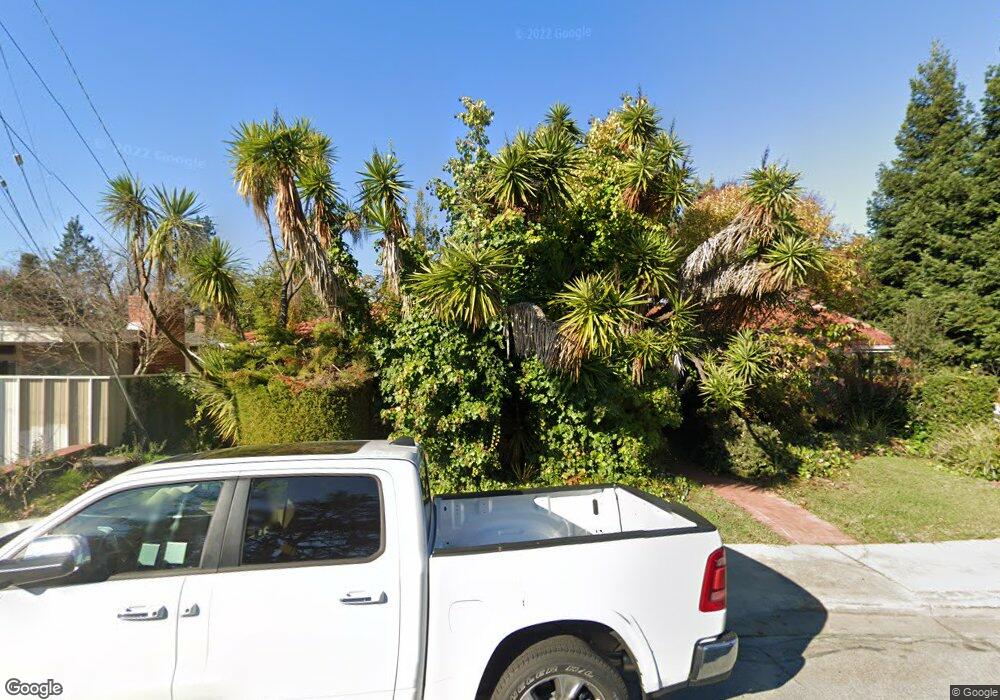
1598 Daniels Dr San Leandro, CA 94577
Bay-O-Vista NeighborhoodEstimated Value: $1,041,000 - $1,250,000
2
Beds
2
Baths
1,874
Sq Ft
$599/Sq Ft
Est. Value
About This Home
This home is located at 1598 Daniels Dr, San Leandro, CA 94577 and is currently estimated at $1,122,451, approximately $598 per square foot. 1598 Daniels Dr is a home located in Alameda County with nearby schools including Roosevelt Elementary School, Bancroft Middle School, and San Leandro High School.
Ownership History
Date
Name
Owned For
Owner Type
Purchase Details
Closed on
Oct 29, 2013
Sold by
Havercroft Carol Jean
Bought by
Havercroft Carol Jean
Current Estimated Value
Home Financials for this Owner
Home Financials are based on the most recent Mortgage that was taken out on this home.
Original Mortgage
$787,500
Outstanding Balance
$542,408
Interest Rate
2.41%
Mortgage Type
Reverse Mortgage Home Equity Conversion Mortgage
Estimated Equity
$580,043
Purchase Details
Closed on
Jan 20, 1995
Sold by
Havercroft Lloyd C
Bought by
Havercroft Carol Jean
Purchase Details
Closed on
May 11, 1994
Sold by
Havercroft Lloyd C
Bought by
Havercroft Lloyd C
Create a Home Valuation Report for This Property
The Home Valuation Report is an in-depth analysis detailing your home's value as well as a comparison with similar homes in the area
Home Values in the Area
Average Home Value in this Area
Purchase History
| Date | Buyer | Sale Price | Title Company |
|---|---|---|---|
| Havercroft Carol Jean | -- | Ticor Title Company Of Ca | |
| Havercroft Carol Jean | -- | -- | |
| Havercroft Lloyd C | -- | -- | |
| Havercroft Lloyd C | -- | -- |
Source: Public Records
Mortgage History
| Date | Status | Borrower | Loan Amount |
|---|---|---|---|
| Open | Havercroft Carol Jean | $787,500 |
Source: Public Records
Tax History Compared to Growth
Tax History
| Year | Tax Paid | Tax Assessment Tax Assessment Total Assessment is a certain percentage of the fair market value that is determined by local assessors to be the total taxable value of land and additions on the property. | Land | Improvement |
|---|---|---|---|---|
| 2025 | $3,016 | $175,302 | $88,999 | $86,303 |
| 2024 | $3,016 | $171,865 | $87,255 | $84,610 |
| 2023 | $2,951 | $168,495 | $85,544 | $82,951 |
| 2022 | $2,870 | $165,192 | $83,867 | $81,325 |
| 2021 | $2,750 | $161,953 | $82,222 | $79,731 |
| 2020 | $2,651 | $160,292 | $81,379 | $78,913 |
| 2019 | $2,581 | $157,150 | $79,784 | $77,366 |
| 2018 | $2,493 | $154,070 | $78,220 | $75,850 |
| 2017 | $2,473 | $151,048 | $76,686 | $74,362 |
| 2016 | $2,354 | $148,087 | $75,183 | $72,904 |
| 2015 | $2,313 | $145,862 | $74,053 | $71,809 |
| 2014 | $2,290 | $143,006 | $72,603 | $70,403 |
Source: Public Records
Map
Nearby Homes
- 1380 E Juana Ave
- 1218 Sandelin Ave
- 147 Covington St
- 972 Collier Dr
- 1532 View Dr
- 918 Estudillo Ave
- 1468 Grand Ave Unit 9
- 1468 Grand Ave Unit 21
- 520 Superior Ave
- 1768 Astor Ct
- 851 Estudillo Ave
- 1657 Clearview Dr
- 1876 Benedict Dr
- 856 Dolores Ave
- 653 Macarthur Blvd
- 1834 Skyview Dr
- 1247 Benedict Ct
- 775 Elsie Ave
- 326 Macarthur Blvd
- 851 Kenyon Ave
- 1590 Daniels Dr
- 1135 Brookvale Dr
- 1586 Daniels Dr
- 1591 Daniels Dr
- 1604 Daniels Dr
- 1200 Brookvale Dr
- 1574 Daniels Dr
- 1221 Brookvale Dr
- 1636 Daniels Dr
- 1129 Brookvale Dr
- 1616 Daniels Dr
- 1585 Daniels Dr
- 1615 Daniels Dr
- 1250 Brookvale Dr
- 319 Marlow Dr
- 323 Marlow Dr
- 315 Marlow Dr
- 327 Marlow Dr
- 311 Marlow Dr
- 1568 Daniels Dr