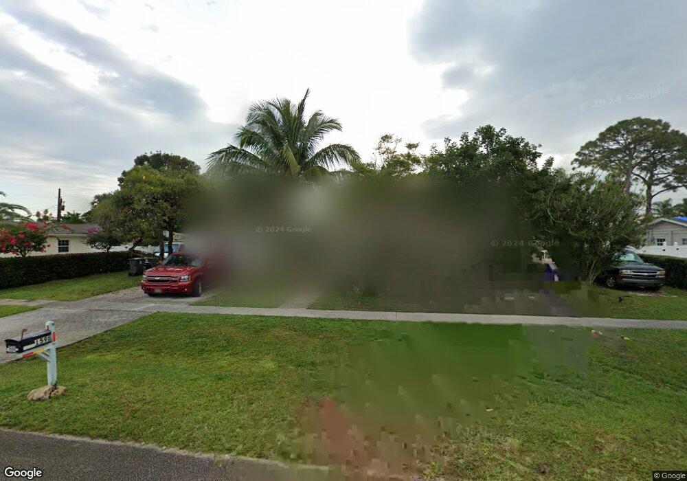
1598 Maypop Rd West Palm Beach, FL 33415
Ranchette NeighborhoodEstimated Value: $391,000 - $461,000
3
Beds
2
Baths
1,242
Sq Ft
$348/Sq Ft
Est. Value
About This Home
This home is located at 1598 Maypop Rd, West Palm Beach, FL 33415 and is currently estimated at $432,296, approximately $348 per square foot. 1598 Maypop Rd is a home located in Palm Beach County with nearby schools including Forest Hill Elementary School, Irs Program At Moriarty, and Okeeheelee Middle School.
Ownership History
Date
Name
Owned For
Owner Type
Purchase Details
Closed on
Jun 22, 2006
Sold by
Hillier Dorothy J and Delbene Frank
Bought by
Houser Lois and Giannini Matthew
Current Estimated Value
Home Financials for this Owner
Home Financials are based on the most recent Mortgage that was taken out on this home.
Original Mortgage
$51,500
Outstanding Balance
$3,725
Interest Rate
6.49%
Mortgage Type
Stand Alone Second
Estimated Equity
$428,571
Create a Home Valuation Report for This Property
The Home Valuation Report is an in-depth analysis detailing your home's value as well as a comparison with similar homes in the area
Home Values in the Area
Average Home Value in this Area
Purchase History
| Date | Buyer | Sale Price | Title Company |
|---|---|---|---|
| Houser Lois | $257,500 | Flagler Title Co |
Source: Public Records
Mortgage History
| Date | Status | Borrower | Loan Amount |
|---|---|---|---|
| Open | Houser Lois | $51,500 | |
| Open | Houser Lois | $206,000 |
Source: Public Records
Tax History Compared to Growth
Tax History
| Year | Tax Paid | Tax Assessment Tax Assessment Total Assessment is a certain percentage of the fair market value that is determined by local assessors to be the total taxable value of land and additions on the property. | Land | Improvement |
|---|---|---|---|---|
| 2024 | $3,007 | $163,669 | -- | -- |
| 2023 | $2,849 | $151,854 | $0 | $0 |
| 2022 | $2,733 | $141,024 | $0 | $0 |
| 2021 | $2,411 | $144,028 | $0 | $0 |
| 2020 | $2,333 | $144,486 | $0 | $0 |
| 2019 | $2,226 | $137,919 | $0 | $0 |
| 2018 | $2,012 | $131,704 | $0 | $0 |
| 2017 | $1,847 | $120,387 | $0 | $0 |
| 2016 | $1,730 | $94,406 | $0 | $0 |
| 2015 | $1,621 | $89,282 | $0 | $0 |
| 2014 | $1,240 | $84,559 | $0 | $0 |
Source: Public Records
Map
Nearby Homes
- 1442 Summit Run Cir
- 1763 Abbey Rd
- 1871 Abbey Rd Unit 19A
- 1527 Live Oak Dr
- 5937 Forest Hill Blvd Unit 103
- 1790 Abbey Rd Unit 104B
- 1943 Iris Rd
- 1430 Red Apple Ln
- 5935 Forest Hill Blvd Unit 1
- 5975 Forest Hill Blvd Unit 101
- 5473 Berry Blossom Way E
- 1406 Red Apple Ln
- 1970 Monks Ct
- 6196 Azalea Cir
- 1865 W Chatham Rd
- 1838 Abbey Rd Unit 208
- 1101 Summit Place Cir Unit B
- 5843 Thisledown Ct
- 1160 Pitusa Ct Unit D
- 6074 Forest Hill Blvd Unit 208
- 1580 Maypop Rd
- 1618 Maypop Rd
- 1605 Bresee Rd
- 1591 Bresee Rd
- 1619 Bresee Rd
- 1577 Bresee Rd
- 1599 Maypop Rd
- 1581 Maypop Rd
- 1619 Maypop Rd
- 1560 Maypop Rd
- 1636 Maypop Rd
- 1563 Bresee Rd
- 1633 Bresee Rd
- 1637 Maypop Rd
- 1561 Maypop Rd
- 1598 Julie Tonia Dr
- 1549 Bresee Rd
- 1647 Bresee Rd
- 1580 Julie Tonia Dr
- 1618 Julie Tonia Dr