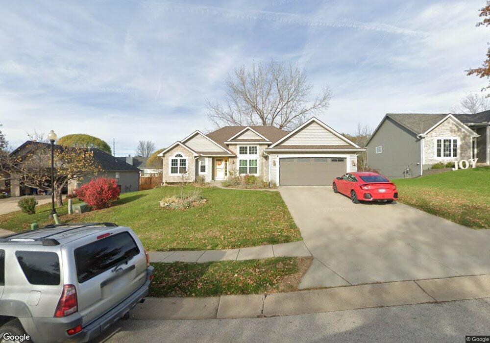
15990 NW 134th Cir Platte City, MO 64079
Estimated Value: $367,675 - $443,000
--
Bed
1
Bath
1,748
Sq Ft
$235/Sq Ft
Est. Value
About This Home
This home is located at 15990 NW 134th Cir, Platte City, MO 64079 and is currently estimated at $411,169, approximately $235 per square foot. 15990 NW 134th Cir is a home located in Platte County with nearby schools including Platte County High School.
Ownership History
Date
Name
Owned For
Owner Type
Purchase Details
Closed on
Feb 1, 2023
Sold by
Varner James E and Varner Carol C
Bought by
Varner James E and Varner Carol C
Current Estimated Value
Purchase Details
Closed on
Jun 1, 2005
Sold by
Grisham Jeremy E and Grisham Michelle K
Bought by
Varner James E and Varner Carol C
Home Financials for this Owner
Home Financials are based on the most recent Mortgage that was taken out on this home.
Original Mortgage
$171,900
Interest Rate
5.79%
Mortgage Type
Purchase Money Mortgage
Create a Home Valuation Report for This Property
The Home Valuation Report is an in-depth analysis detailing your home's value as well as a comparison with similar homes in the area
Home Values in the Area
Average Home Value in this Area
Purchase History
| Date | Buyer | Sale Price | Title Company |
|---|---|---|---|
| Varner James E | -- | None Listed On Document | |
| Varner James E | -- | Platte Cnty Title & Abstract |
Source: Public Records
Mortgage History
| Date | Status | Borrower | Loan Amount |
|---|---|---|---|
| Previous Owner | Varner James E | $171,900 |
Source: Public Records
Tax History Compared to Growth
Tax History
| Year | Tax Paid | Tax Assessment Tax Assessment Total Assessment is a certain percentage of the fair market value that is determined by local assessors to be the total taxable value of land and additions on the property. | Land | Improvement |
|---|---|---|---|---|
| 2024 | $3,405 | $49,169 | $10,821 | $38,348 |
| 2023 | $3,270 | $49,169 | $10,821 | $38,348 |
| 2022 | $2,984 | $44,457 | $10,821 | $33,636 |
| 2021 | $2,992 | $44,457 | $10,821 | $33,636 |
| 2020 | $2,693 | $39,552 | $7,809 | $31,743 |
| 2019 | $2,693 | $39,552 | $7,809 | $31,743 |
| 2018 | $2,597 | $37,836 | $4,940 | $32,896 |
| 2017 | $2,584 | $37,836 | $4,940 | $32,896 |
| 2016 | $2,563 | $37,836 | $4,940 | $32,896 |
| 2015 | $2,562 | $37,836 | $4,940 | $32,896 |
| 2013 | $2,347 | $37,836 | $0 | $0 |
Source: Public Records
Map
Nearby Homes
- 13420 Timber Park Dr
- 13657 Oak Valley Dr
- 13180 Woodridge St
- 13360 Ridgeview Dr
- 13900 Cole Crossing Ct
- 26 Misty Springs Cir
- 13060 Woodridge St
- 17120 NW 133rd St
- 17340 NW 130th Terrace
- 15440 NW 127th St
- 15565 NW 127th St
- 15870 NW 126th Terrace
- The York Plan at Seven Bridges
- The Wyndham V Plan at Seven Bridges
- The Wydnham II Plan at Seven Bridges
- The Timberland Reverse Plan at Seven Bridges
- The Timberland Expanded Plan at Seven Bridges
- The Landon Plan at Seven Bridges
- The Tatum Plan at Seven Bridges
- The Sierra V Plan at Seven Bridges
- 15950 NW 134th Cir
- 16020 NW 134th Cir
- 15875 NW 135th St
- 15975 NW 135th St
- 16005 NW 135th St
- 13470 Timber Park Ln
- 15835 NW 135th St
- 15955 NW 134th Cir
- 15865 NW 134th Cir
- 16035 NW 135th St
- 16050 NW 134th Cir
- 16050 NW 134th Ct
- 16015 NW 134th Ct
- 13430 Timber Park Ln
- 16055 NW 134th Ct
- 16075 NW 135th St
- 15940 NW 135th St
- 15980 NW 135th St
- 16040 NW 134th St
- 16000 NW 135th St