15990 Rock Creek Rd Redding, CA 96001
Estimated Value: $119,000 - $360,000
3
Beds
2
Baths
960
Sq Ft
$260/Sq Ft
Est. Value
About This Home
This home is located at 15990 Rock Creek Rd, Redding, CA 96001 and is currently estimated at $249,420, approximately $259 per square foot. 15990 Rock Creek Rd is a home located in Shasta County with nearby schools including Shasta Elementary School and Shasta High School.
Ownership History
Date
Name
Owned For
Owner Type
Purchase Details
Closed on
Jul 15, 1998
Sold by
Aames Capitol Corp
Bought by
Davis Reid and Davis Sandra L
Current Estimated Value
Home Financials for this Owner
Home Financials are based on the most recent Mortgage that was taken out on this home.
Original Mortgage
$74,961
Outstanding Balance
$15,354
Interest Rate
7.01%
Mortgage Type
FHA
Estimated Equity
$234,066
Purchase Details
Closed on
Nov 5, 1997
Sold by
Wiesen Marlene D
Bought by
Aames Capital Corp
Create a Home Valuation Report for This Property
The Home Valuation Report is an in-depth analysis detailing your home's value as well as a comparison with similar homes in the area
Home Values in the Area
Average Home Value in this Area
Purchase History
| Date | Buyer | Sale Price | Title Company |
|---|---|---|---|
| Davis Reid | $75,000 | Fidelity National Title Co | |
| Aames Capital Corp | $53,864 | Fidelity National Title Ins |
Source: Public Records
Mortgage History
| Date | Status | Borrower | Loan Amount |
|---|---|---|---|
| Open | Davis Reid | $74,961 |
Source: Public Records
Tax History Compared to Growth
Tax History
| Year | Tax Paid | Tax Assessment Tax Assessment Total Assessment is a certain percentage of the fair market value that is determined by local assessors to be the total taxable value of land and additions on the property. | Land | Improvement |
|---|---|---|---|---|
| 2025 | $1,174 | $117,553 | $41,532 | $76,021 |
| 2024 | $1,154 | $115,249 | $40,718 | $74,531 |
| 2023 | $1,154 | $112,990 | $39,920 | $73,070 |
| 2022 | $1,124 | $110,776 | $39,138 | $71,638 |
| 2021 | $1,099 | $108,605 | $38,371 | $70,234 |
| 2020 | $843 | $83,161 | $37,978 | $45,183 |
| 2019 | $336 | $37,234 | $37,234 | $0 |
| 2018 | $351 | $103,319 | $36,504 | $66,815 |
| 2017 | $1,044 | $101,294 | $35,789 | $65,505 |
| 2016 | $984 | $99,309 | $35,088 | $64,221 |
| 2015 | $969 | $97,818 | $34,561 | $63,257 |
| 2014 | $956 | $95,902 | $33,884 | $62,018 |
Source: Public Records
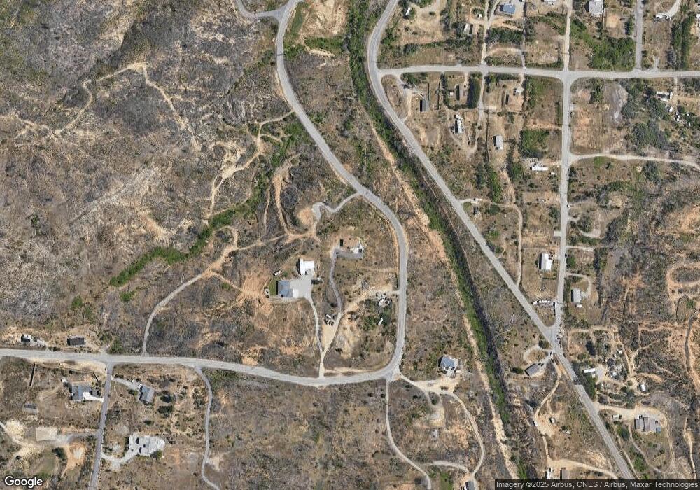
Map
Nearby Homes
- 11361 Tanstaafl Ln
- 11494 Gold Rush Rd
- 27.71 Acres Vacant Land
- 16266 Gold Pan Way
- 16344 Laurie Ann Ln
- 11293 Dekkas Pom Ct
- 15388 Shadow Mountain Ln
- 11426 Menlo Way
- 17014 Keswick Dam Rd
- 4846 Ferrington Ct
- 17007 Keswick Dam Rd
- 4806 Ferrington Ct
- 4798 Ferrington Ct
- 10670 High St
- 0 High St
- 000 High St
- 15943 Highland Cir
- 15778 Highland Cir
- 950 Santa Cruz Dr
- 15715 Highland Cir
- 15978 Rock Creek Rd
- 15996 Rock Creek Rd
- 0 Clear Creek Rd Unit 80113510
- 18967 E Yawl Place
- 0 None Unit SW15126436
- 5 Brunswick Dr
- 20 Corum Rd
- 6 Day Rd
- 0 Clear Creek Rd Unit 25-2280
- 0 Clear Creek Rd Unit 98-70411
- 0 Clear Creek Rd Unit 19-2651
- 0 Clear Creek Rd Unit 15-4349
- 0 Clear Creek Rd Unit 14-2856
- 0 Clear Creek Rd Unit 13-2346
- 0 Clear Creek Rd Unit 11-3637
- 0 Clear Creek Rd Unit 7-6258
- 0 Clear Creek Rd Unit 2-94683
- 0 Clear Creek Rd Unit 98-72821
- 0 Clear Creek Rd Unit 98-71492
- 0 Clear Creek Rd Unit 99-76023