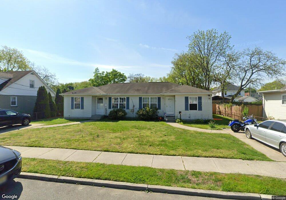
16-20 E Vine St Gibbstown, NJ 08027
Greenwich Township NeighborhoodEstimated Value: $329,000 - $397,000
--
Bed
--
Bath
1,664
Sq Ft
$215/Sq Ft
Est. Value
About This Home
This home is located at 16-20 E Vine St, Gibbstown, NJ 08027 and is currently estimated at $358,586, approximately $215 per square foot. 16-20 E Vine St is a home located in Gloucester County with nearby schools including Nehaunsey Middle School and Guardian Angels Regional School.
Ownership History
Date
Name
Owned For
Owner Type
Purchase Details
Closed on
May 16, 2024
Sold by
Bailey Anthony
Bought by
Olaleye Olatunji S
Current Estimated Value
Home Financials for this Owner
Home Financials are based on the most recent Mortgage that was taken out on this home.
Original Mortgage
$353,479
Outstanding Balance
$348,790
Interest Rate
7.17%
Mortgage Type
FHA
Estimated Equity
$9,796
Purchase Details
Closed on
Aug 6, 2020
Sold by
Barber Mark J and Duca Joseph J
Bought by
Bailey Anthony
Home Financials for this Owner
Home Financials are based on the most recent Mortgage that was taken out on this home.
Original Mortgage
$230,743
Interest Rate
2.9%
Mortgage Type
FHA
Create a Home Valuation Report for This Property
The Home Valuation Report is an in-depth analysis detailing your home's value as well as a comparison with similar homes in the area
Home Values in the Area
Average Home Value in this Area
Purchase History
| Date | Buyer | Sale Price | Title Company |
|---|---|---|---|
| Olaleye Olatunji S | $360,000 | Trident Land Transfer | |
| Olaleye Olatunji S | $360,000 | Trident Land Transfer | |
| Bailey Anthony | $235,000 | Fidelity National Ttl Ins Co |
Source: Public Records
Mortgage History
| Date | Status | Borrower | Loan Amount |
|---|---|---|---|
| Open | Olaleye Olatunji S | $353,479 | |
| Closed | Olaleye Olatunji S | $353,479 | |
| Previous Owner | Bailey Anthony | $230,743 |
Source: Public Records
Tax History Compared to Growth
Tax History
| Year | Tax Paid | Tax Assessment Tax Assessment Total Assessment is a certain percentage of the fair market value that is determined by local assessors to be the total taxable value of land and additions on the property. | Land | Improvement |
|---|---|---|---|---|
| 2025 | $6,011 | $174,600 | $31,000 | $143,600 |
| 2024 | $5,695 | $174,600 | $31,000 | $143,600 |
| 2023 | $5,695 | $174,600 | $31,000 | $143,600 |
| 2022 | $5,699 | $174,600 | $31,000 | $143,600 |
| 2021 | $5,640 | $174,600 | $31,000 | $143,600 |
| 2020 | $5,718 | $174,600 | $31,000 | $143,600 |
| 2019 | $5,722 | $174,600 | $31,000 | $143,600 |
| 2018 | $5,559 | $174,600 | $31,000 | $143,600 |
| 2017 | $5,425 | $174,600 | $31,000 | $143,600 |
| 2016 | $5,365 | $174,600 | $31,000 | $143,600 |
| 2015 | $5,193 | $174,600 | $31,000 | $143,600 |
| 2014 | $4,969 | $174,600 | $31,000 | $143,600 |
Source: Public Records
Map
Nearby Homes
- 76 Casperson St
- 114 Casperson St
- 18 Oak St
- 431 Washington St
- 342 Democrat Rd
- 406 Swedesboro Rd
- 242 S Poplar St
- 622 W Broad St
- 127 Center St
- 148 Swedesboro Rd
- 751 Duncan Ave
- 746 Allen Ave
- 836 E Broad St
- 0 Swedesboro Ave Unit NJGL2061592
- 330 Croce Ave
- 441 W Broad St
- 344 W Washington St
- 335 W Buck St
- 333 W Buck St
- L18 20 W Broad St
- 20 E Vine St
- 16 E Vine St Unit 20
- 16 20 E Vine St
- 10 E Vine St
- 24 E Vine St
- 11 E Broad St
- 17 E Broad St
- 14 N Market St
- 29 E Broad St
- 32 N Market St
- 8 E Broad St
- 41 E Vine St
- 47 E Vine St
- 36 N Market St
- 40 N Market St
- 39 E Broad St
- 21 N Market St
- 5 W Broad St
- 45 E Vine St
- 12 APT C E Broad St E Unit C