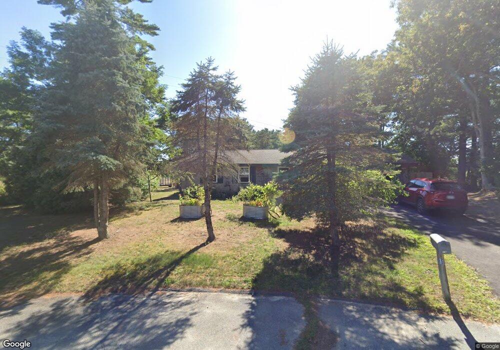
16 Acoaxet Ln West Wareham, MA 02576
Estimated Value: $408,000 - $485,000
3
Beds
1
Bath
1,176
Sq Ft
$383/Sq Ft
Est. Value
About This Home
This home is located at 16 Acoaxet Ln, West Wareham, MA 02576 and is currently estimated at $450,630, approximately $383 per square foot. 16 Acoaxet Ln is a home located in Plymouth County.
Ownership History
Date
Name
Owned For
Owner Type
Purchase Details
Closed on
Jul 8, 2022
Sold by
Corcoran Michael and Corcoran Karen D
Bought by
2022 Corcoran Ft and Corcoran
Current Estimated Value
Create a Home Valuation Report for This Property
The Home Valuation Report is an in-depth analysis detailing your home's value as well as a comparison with similar homes in the area
Home Values in the Area
Average Home Value in this Area
Purchase History
| Date | Buyer | Sale Price | Title Company |
|---|---|---|---|
| 2022 Corcoran Ft | -- | None Available | |
| 2022 Corcoran Ft | -- | None Available |
Source: Public Records
Tax History Compared to Growth
Tax History
| Year | Tax Paid | Tax Assessment Tax Assessment Total Assessment is a certain percentage of the fair market value that is determined by local assessors to be the total taxable value of land and additions on the property. | Land | Improvement |
|---|---|---|---|---|
| 2025 | $3,504 | $336,300 | $110,200 | $226,100 |
| 2024 | $3,361 | $299,300 | $86,300 | $213,000 |
| 2023 | $3,029 | $267,500 | $78,400 | $189,100 |
| 2022 | $3,029 | $229,800 | $78,400 | $151,400 |
| 2021 | $2,995 | $222,700 | $78,400 | $144,300 |
| 2020 | $2,797 | $210,900 | $78,400 | $132,500 |
| 2019 | $2,617 | $196,900 | $75,900 | $121,000 |
| 2018 | $2,474 | $181,500 | $75,900 | $105,600 |
| 2017 | $2,295 | $170,600 | $75,900 | $94,700 |
| 2016 | $2,104 | $155,500 | $74,000 | $81,500 |
| 2015 | $2,032 | $155,500 | $74,000 | $81,500 |
| 2014 | $2,014 | $156,700 | $70,300 | $86,400 |
Source: Public Records
Map
Nearby Homes
- 11 Acoaxet Ln
- 103 Castle Dr
- 27 Siesta Dr
- 51 Crest Dr
- 47 Weaver St
- 20 Gault Rd
- 41 Longboat Rd
- 2230 Cranberry Hwy Unit 1
- 59 Timber Ln
- 87 Great Hill Dr
- 199 Windswept Rd
- 189 Pine View Terrace
- 563 County Rd
- 72 Papermill Rd Unit 72
- 11 Fonseca Way
- 5 Marks Way
- 23 Marks Way
- 46 Helen St
- 722 Main St
- 19 Station St