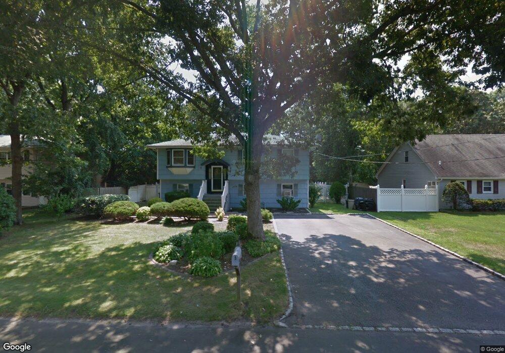
16 Appel Dr E Shirley, NY 11967
Estimated Value: $486,239 - $690,000
4
Beds
2
Baths
1,988
Sq Ft
$300/Sq Ft
Est. Value
About This Home
This home is located at 16 Appel Dr E, Shirley, NY 11967 and is currently estimated at $595,810, approximately $299 per square foot. 16 Appel Dr E is a home located in Suffolk County with nearby schools including Nathaniel Woodhull Elementary School, William Paca Middle School, and William Floyd High School.
Ownership History
Date
Name
Owned For
Owner Type
Purchase Details
Closed on
Jan 4, 2013
Sold by
Ehresman Albert and Ehresman Lorrain
Bought by
Ehresman Neil and Ehresman Linette
Current Estimated Value
Home Financials for this Owner
Home Financials are based on the most recent Mortgage that was taken out on this home.
Original Mortgage
$230,743
Outstanding Balance
$161,408
Interest Rate
3.5%
Mortgage Type
FHA
Estimated Equity
$434,402
Purchase Details
Closed on
Jan 28, 1997
Sold by
Dillon Robert E
Bought by
Ehresman Albert and Ehresman Lorraine
Create a Home Valuation Report for This Property
The Home Valuation Report is an in-depth analysis detailing your home's value as well as a comparison with similar homes in the area
Home Values in the Area
Average Home Value in this Area
Purchase History
| Date | Buyer | Sale Price | Title Company |
|---|---|---|---|
| Ehresman Neil | $235,000 | Fidelity National Title | |
| Ehresman Albert | $110,000 | Fidelity National Title |
Source: Public Records
Mortgage History
| Date | Status | Borrower | Loan Amount |
|---|---|---|---|
| Open | Ehresman Neil | $230,743 |
Source: Public Records
Tax History
| Year | Tax Paid | Tax Assessment Tax Assessment Total Assessment is a certain percentage of the fair market value that is determined by local assessors to be the total taxable value of land and additions on the property. | Land | Improvement |
|---|---|---|---|---|
| 2024 | $8,261 | $2,175 | $150 | $2,025 |
| 2023 | $8,261 | $2,175 | $150 | $2,025 |
| 2022 | $8,667 | $2,175 | $150 | $2,025 |
| 2021 | $8,667 | $2,175 | $150 | $2,025 |
| 2020 | $8,906 | $2,175 | $150 | $2,025 |
| 2019 | $8,906 | $0 | $0 | $0 |
| 2018 | $8,423 | $2,175 | $150 | $2,025 |
| 2017 | $8,423 | $2,175 | $150 | $2,025 |
| 2016 | $8,402 | $2,175 | $150 | $2,025 |
| 2015 | -- | $2,175 | $150 | $2,025 |
| 2014 | -- | $2,175 | $150 | $2,025 |
Source: Public Records
Map
Nearby Homes
- 70 Breston Dr E
- 39 Appel Dr E
- 21 Greentree Ct
- 34 Greentree Ct
- 41 Greentree Ct
- 0 Amarr Dr Unit KEYL3493702
- 7 Pondview Cir
- 43 Adobe Dr
- 33 Ranch Dr
- 33 Loughlin Dr
- 54 Beacon St
- 4 Cotton Tail Ct
- 182 Lexington Rd
- 21 Lama Dr
- Vacant Lot The Green
- VL - (Sec 937 Lot 14 The Green
- 112 Chanel Dr E
- 74 Alcolade Dr E
- 18 Windus Dr
- Lots 6-10.2 Mastic Rd
Your Personal Tour Guide
Ask me questions while you tour the home.