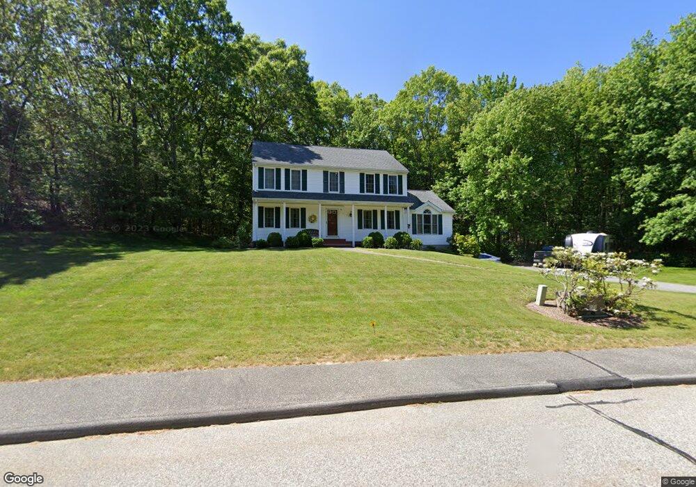
16 Autumn Rd Uxbridge, MA 01569
Estimated Value: $635,028 - $838,000
4
Beds
3
Baths
2,122
Sq Ft
$331/Sq Ft
Est. Value
About This Home
This home is located at 16 Autumn Rd, Uxbridge, MA 01569 and is currently estimated at $703,257, approximately $331 per square foot. 16 Autumn Rd is a home located in Worcester County with nearby schools including Uxbridge High School, Our Lady of the Valley Regional School, and Whitinsville Christian School.
Ownership History
Date
Name
Owned For
Owner Type
Purchase Details
Closed on
Jan 4, 1996
Sold by
Dw Phillips Rt
Bought by
Hudgins Thomas M and Hudgins Deborah
Current Estimated Value
Create a Home Valuation Report for This Property
The Home Valuation Report is an in-depth analysis detailing your home's value as well as a comparison with similar homes in the area
Home Values in the Area
Average Home Value in this Area
Purchase History
| Date | Buyer | Sale Price | Title Company |
|---|---|---|---|
| Hudgins Thomas M | $210,000 | -- |
Source: Public Records
Mortgage History
| Date | Status | Borrower | Loan Amount |
|---|---|---|---|
| Open | Hudgins Thomas M | $112,200 | |
| Closed | Hudgins Thomas M | $105,000 | |
| Closed | Hudgins Thomas M | $152,000 |
Source: Public Records
Tax History
| Year | Tax Paid | Tax Assessment Tax Assessment Total Assessment is a certain percentage of the fair market value that is determined by local assessors to be the total taxable value of land and additions on the property. | Land | Improvement |
|---|---|---|---|---|
| 2025 | $70 | $537,200 | $154,200 | $383,000 |
| 2024 | $6,684 | $517,300 | $146,400 | $370,900 |
| 2023 | $6,364 | $456,200 | $126,500 | $329,700 |
| 2022 | $5,768 | $380,500 | $110,800 | $269,700 |
| 2021 | $5,809 | $367,200 | $108,400 | $258,800 |
| 2020 | $5,954 | $355,700 | $106,900 | $248,800 |
| 2019 | $5,897 | $339,900 | $106,900 | $233,000 |
| 2018 | $5,724 | $333,400 | $106,900 | $226,500 |
| 2017 | $5,310 | $313,100 | $104,600 | $208,500 |
| 2016 | $5,487 | $312,300 | $96,000 | $216,300 |
| 2015 | $5,356 | $307,800 | $96,000 | $211,800 |
Source: Public Records
Map
Nearby Homes
- 288 High St
- 395 High St
- 13 Blanchard Ave
- 11 Summerfield Dr Unit 11
- 145 Mantell Rd
- 169 Mantell Rd
- 137 Mantell Rd
- 7 Jefferson Ct Unit 7
- 7 Gentry Ln Unit 7
- 36 Elm St
- 71 Rivulet St Unit B
- 125 Saint Andre Dr
- 197 Crownshield Ave Unit 16C
- 307 N Main St
- 73 Tea Party Dr Unit L-4
- 300 Crownshield Ave
- 3 Strathmore Shire Unit A
- 4 Strathmore Shire Dr Unit B
- 0 Homestead Ave
- 24 Olde Canal Way Unit 24