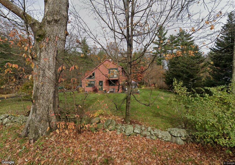
16 Barrett St Belchertown, MA 01007
Estimated Value: $452,855 - $514,000
3
Beds
2
Baths
1,966
Sq Ft
$242/Sq Ft
Est. Value
About This Home
This home is located at 16 Barrett St, Belchertown, MA 01007 and is currently estimated at $476,214, approximately $242 per square foot. 16 Barrett St is a home located in Hampshire County with nearby schools including Swift River Elementary School, Chestnut Hill Community School, and Jabish Middle School.
Ownership History
Date
Name
Owned For
Owner Type
Purchase Details
Closed on
Jun 30, 1999
Sold by
Sansoucy Julie K and Sansoucy Ronald H
Bought by
Damouras James A and Damouras Karen D
Current Estimated Value
Home Financials for this Owner
Home Financials are based on the most recent Mortgage that was taken out on this home.
Original Mortgage
$154,750
Interest Rate
7.19%
Mortgage Type
Purchase Money Mortgage
Create a Home Valuation Report for This Property
The Home Valuation Report is an in-depth analysis detailing your home's value as well as a comparison with similar homes in the area
Home Values in the Area
Average Home Value in this Area
Purchase History
| Date | Buyer | Sale Price | Title Company |
|---|---|---|---|
| Damouras James A | $163,250 | -- |
Source: Public Records
Mortgage History
| Date | Status | Borrower | Loan Amount |
|---|---|---|---|
| Open | Damouras James A | $161,500 | |
| Closed | Damouras James A | $25,000 | |
| Closed | Damouras James A | $160,000 | |
| Closed | Damouras James A | $154,750 |
Source: Public Records
Tax History
| Year | Tax Paid | Tax Assessment Tax Assessment Total Assessment is a certain percentage of the fair market value that is determined by local assessors to be the total taxable value of land and additions on the property. | Land | Improvement |
|---|---|---|---|---|
| 2025 | $5,459 | $376,200 | $82,100 | $294,100 |
| 2024 | $5,379 | $351,100 | $74,700 | $276,400 |
| 2023 | $5,291 | $324,200 | $70,700 | $253,500 |
| 2022 | $5,061 | $286,600 | $70,700 | $215,900 |
| 2021 | $4,913 | $271,000 | $70,700 | $200,300 |
| 2020 | $4,733 | $260,500 | $70,700 | $189,800 |
| 2019 | $4,585 | $250,300 | $70,700 | $179,600 |
| 2018 | $4,478 | $246,200 | $72,000 | $174,200 |
| 2017 | $4,397 | $241,600 | $72,000 | $169,600 |
| 2016 | $4,430 | $246,500 | $74,200 | $172,300 |
| 2015 | $4,286 | $239,600 | $74,200 | $165,400 |
Source: Public Records
Map
Nearby Homes
- 7 High Bluff Rd
- 15 High Bluff Rd
- 0 South St
- 31 High Bluff Rd
- 4 Sunny Crest Ln
- 268 N Liberty St
- 45 River St
- Lot 38 Michael Sears Rd
- 0 Michael Sears Rd
- 3072 Main St Unit 3072
- 87-12 State St
- 3102 S Main St
- 61 Fuller Rd
- LOT U Woodland
- 206 Franklin St
- 8 Summit Dr
- 105 Railroad St
- 517 S Washington St
- Lot 87-12 State St
- 6 N Liberty St
- 12 Barrett St
- 490 Bardwell St
- 2 Barrett St
- 20 Barrett St
- 534 Bardwell St
- 526 Bardwell St
- 15 Barrett St
- 474 Bardwell St
- 535 Bardwell St
- 3 Barrett St
- 531 Bardwell St
- 478 Bardwell St
- 458 Bardwell St
- 537 Bardwell St
- 541 Bardwell St
- 491 North Liberty St
- 42 Barrett St
- 425 Bardwell St
- 474 Michael Sears Rd
- 10 Fox Run Dr
Your Personal Tour Guide
Ask me questions while you tour the home.