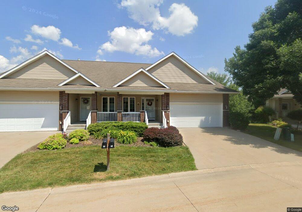
16 Brentwood Ln Iowa City, IA 52245
Estimated Value: $340,514 - $353,000
3
Beds
2
Baths
2,310
Sq Ft
$149/Sq Ft
Est. Value
About This Home
This home is located at 16 Brentwood Ln, Iowa City, IA 52245 and is currently estimated at $344,379, approximately $149 per square foot. 16 Brentwood Ln is a home located in Johnson County with nearby schools including Helen Lemme Elementary School, Southeast Junior High School, and City High School.
Ownership History
Date
Name
Owned For
Owner Type
Purchase Details
Closed on
Aug 28, 2020
Sold by
Wilson James M
Bought by
Redlinger Margo M
Current Estimated Value
Purchase Details
Closed on
Jul 31, 2013
Sold by
Mcmann Richard D and Parker Mcmann Deborah L
Bought by
Wilson James M
Home Financials for this Owner
Home Financials are based on the most recent Mortgage that was taken out on this home.
Original Mortgage
$166,400
Interest Rate
4.49%
Mortgage Type
New Conventional
Purchase Details
Closed on
Jul 25, 2007
Sold by
Arlington Development Inc
Bought by
Mcmann Richard P and Parker Mcmann Deborah L
Home Financials for this Owner
Home Financials are based on the most recent Mortgage that was taken out on this home.
Original Mortgage
$175,000
Interest Rate
6.71%
Mortgage Type
New Conventional
Create a Home Valuation Report for This Property
The Home Valuation Report is an in-depth analysis detailing your home's value as well as a comparison with similar homes in the area
Home Values in the Area
Average Home Value in this Area
Purchase History
| Date | Buyer | Sale Price | Title Company |
|---|---|---|---|
| Redlinger Margo M | $272,000 | None Available | |
| Wilson James M | $208,000 | None Available | |
| Mcmann Richard P | $222,500 | None Available |
Source: Public Records
Mortgage History
| Date | Status | Borrower | Loan Amount |
|---|---|---|---|
| Previous Owner | Wilson James M | $166,400 | |
| Previous Owner | Mcmann Richard P | $175,000 |
Source: Public Records
Tax History Compared to Growth
Tax History
| Year | Tax Paid | Tax Assessment Tax Assessment Total Assessment is a certain percentage of the fair market value that is determined by local assessors to be the total taxable value of land and additions on the property. | Land | Improvement |
|---|---|---|---|---|
| 2025 | $5,346 | $318,900 | $24,890 | $294,010 |
| 2024 | $5,402 | $304,620 | $22,820 | $281,800 |
| 2023 | $5,410 | $304,620 | $22,820 | $281,800 |
| 2022 | $5,168 | $258,510 | $19,710 | $238,800 |
| 2021 | $5,280 | $258,510 | $19,710 | $238,800 |
| 2020 | $5,280 | $252,790 | $18,670 | $234,120 |
| 2019 | $4,826 | $252,790 | $18,670 | $234,120 |
| 2018 | $4,826 | $228,140 | $18,670 | $209,470 |
| 2017 | $4,438 | $228,140 | $18,670 | $209,470 |
| 2016 | $4,346 | $210,370 | $16,600 | $193,770 |
| 2015 | $4,346 | $210,370 | $16,600 | $193,770 |
| 2014 | $4,168 | $201,390 | $16,600 | $184,790 |
Source: Public Records
Map
Nearby Homes
- 237 Camden Rd
- 85 Broadmoor Ln
- 275 Camden Rd Unit 275
- 220 Camden Rd
- 4157 Anna St
- 4121 Ruth St
- 230 Kenneth Dr
- 14 Charles Dr
- 4375 York Place Unit 116T
- 4349 York Place
- 4301 York Place
- 282 Kenneth Dr
- 285 Ashford Place
- 180 Eversull Ln
- 219 Eversull Ln
- 281 Danielle St
- 15 Mary Ct
- 225 Chadwick Ln
- 235 Chadwick Ln
- 0 Lower West Branch Rd SE
- 14 Brentwood Ln Unit 145P
- 32 Brentwood Ln Unit 147E
- 34 Brentwood Ln Unit 148E
- 19 Brentwood Ln
- 17 Brentwood Ln
- 50 Brentwood Ln
- 52 Brentwood Ln
- 211 Manchester Ln
- 213 Manchester Ln
- 12 Brentwood Dr
- 201 Manchester Ln
- 225 Manchester Ln
- 11 Brentwood Dr
- 227 Manchester Ln
- 18 Brentwood Dr
- 13 Brentwood Dr Unit 154F
- 122 Kenneth Dr
- 114 Kenneth Dr
- 239 Manchester Ln
- 106 Kenneth Dr