16 Briarpatch Ln Beaufort, SC 29907
Estimated Value: $331,000 - $1,168,000
8
Beds
12
Baths
7,204
Sq Ft
$113/Sq Ft
Est. Value
About This Home
This home is located at 16 Briarpatch Ln, Beaufort, SC 29907 and is currently estimated at $812,000, approximately $112 per square foot. 16 Briarpatch Ln is a home with nearby schools including Lady's Island Elementary School, Lady's Island Middle School, and Beaufort High School.
Ownership History
Date
Name
Owned For
Owner Type
Purchase Details
Closed on
Dec 23, 2019
Sold by
Fna Sc Llc
Bought by
Daigle Gary W and Daigle Maryann E
Current Estimated Value
Home Financials for this Owner
Home Financials are based on the most recent Mortgage that was taken out on this home.
Original Mortgage
$34,000
Interest Rate
3.7%
Mortgage Type
Future Advance Clause Open End Mortgage
Purchase Details
Closed on
Dec 2, 2015
Sold by
Stonecrop Falls Corp
Bought by
Lombard Robin M and The Robin M Lombard Living Trust
Create a Home Valuation Report for This Property
The Home Valuation Report is an in-depth analysis detailing your home's value as well as a comparison with similar homes in the area
Home Values in the Area
Average Home Value in this Area
Purchase History
| Date | Buyer | Sale Price | Title Company |
|---|---|---|---|
| Daigle Gary W | $42,500 | None Available | |
| Lombard Robin M | -- | None Available |
Source: Public Records
Mortgage History
| Date | Status | Borrower | Loan Amount |
|---|---|---|---|
| Closed | Daigle Gary W | $34,000 |
Source: Public Records
Tax History Compared to Growth
Tax History
| Year | Tax Paid | Tax Assessment Tax Assessment Total Assessment is a certain percentage of the fair market value that is determined by local assessors to be the total taxable value of land and additions on the property. | Land | Improvement |
|---|---|---|---|---|
| 2024 | $191 | $37,692 | $4,800 | $32,892 |
| 2023 | $191 | $37,692 | $4,800 | $32,892 |
| 2022 | $749 | $2,550 | $0 | $0 |
| 2021 | $727 | $2,550 | $0 | $0 |
| 2020 | $703 | $2,550 | $0 | $0 |
| 2019 | $1,302 | $4,970 | $0 | $0 |
| 2018 | $1,232 | $4,970 | $0 | $0 |
| 2017 | $1,327 | $5,160 | $0 | $0 |
| 2016 | $1,299 | $5,160 | $0 | $0 |
| 2014 | $1,553 | $5,160 | $0 | $0 |
Source: Public Records
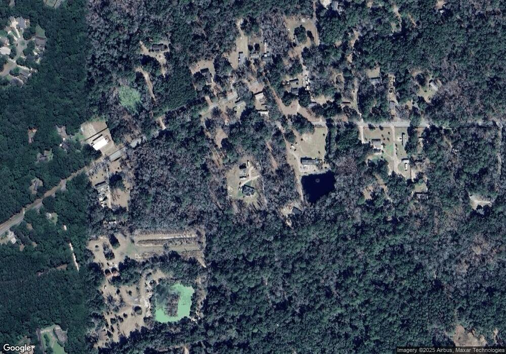
Map
Nearby Homes
- 40 Briarpatch Ln
- 10 Big Ash Ln
- 965 Sams Point Rd Unit C
- 965 Sams Point Rd Unit B
- 965 Sams Point Rd Unit A
- 4 Flyway Dr
- 20 Millers Pond Dr
- 106 Coosaw Club Dr
- 110 Coosaw Club Dr
- 6 Tuxedo Dr
- 9 Hendersons Way
- 1 Park Row
- 37 Park Square S
- 140 Coosaw Club Dr
- 53 Park Way
- 4 Waterbird Dr
- 7 Waterbird Dr
- 218 Coosaw Point Blvd
- 27 Western Way
- 28 Western Way
- 920 Sams Point Rd
- 914 Sams Point Rd
- 915 Sams Point Rd
- 14 Alston Rd
- 927 Sams Point Rd
- 931 Sams Point Rd
- 938 Sams Point Rd
- 17 Alston Rd
- 933 Sams Point Rd
- 14 Mickey D Ln
- 21 Alston Rd
- 23 Alston Rd
- 25 Alston Rd
- 899 Sams Point Rd
- 31 Alston Rd
- 888 Sams Point Rd
- 947 Sams Point Rd
- 14 Eliza Ln
- 949 Sams Point Rd
- 5 Token Ln