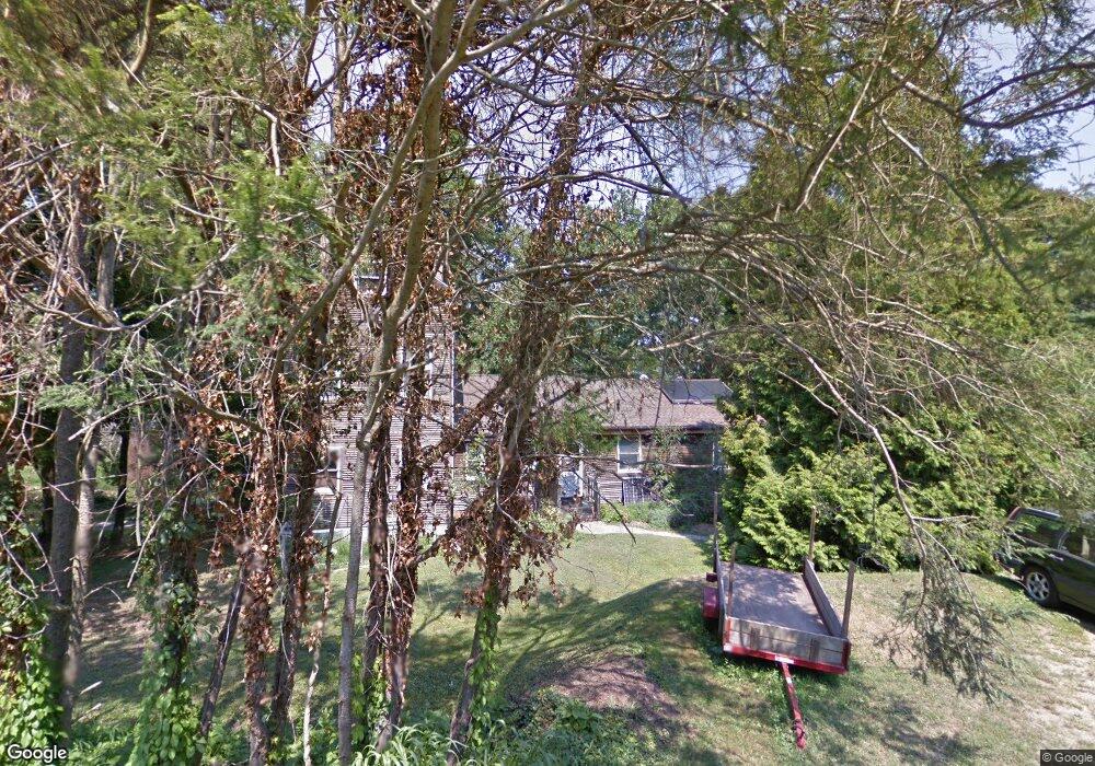
16 Cedar Grove Rd Guilford, CT 06437
Estimated Value: $522,000 - $926,000
5
Beds
3
Baths
2,240
Sq Ft
$345/Sq Ft
Est. Value
About This Home
This home is located at 16 Cedar Grove Rd, Guilford, CT 06437 and is currently estimated at $773,417, approximately $345 per square foot. 16 Cedar Grove Rd is a home located in New Haven County with nearby schools including E.C. Adams Middle School, A. Baldwin Middle School, and Guilford High School.
Ownership History
Date
Name
Owned For
Owner Type
Purchase Details
Closed on
Feb 22, 2023
Sold by
Davidson Michael and Davidson Mary V
Bought by
Wilde Patricia M and Davidson Brendan M
Current Estimated Value
Purchase Details
Closed on
Jun 28, 1984
Bought by
Davidson Michael and Davidson Mary
Create a Home Valuation Report for This Property
The Home Valuation Report is an in-depth analysis detailing your home's value as well as a comparison with similar homes in the area
Home Values in the Area
Average Home Value in this Area
Purchase History
| Date | Buyer | Sale Price | Title Company |
|---|---|---|---|
| Wilde Patricia M | -- | None Available | |
| Davidson Michael | $98,000 | -- |
Source: Public Records
Mortgage History
| Date | Status | Borrower | Loan Amount |
|---|---|---|---|
| Previous Owner | Davidson Michael | $125,000 | |
| Previous Owner | Davidson Michael | $105,000 |
Source: Public Records
Tax History Compared to Growth
Tax History
| Year | Tax Paid | Tax Assessment Tax Assessment Total Assessment is a certain percentage of the fair market value that is determined by local assessors to be the total taxable value of land and additions on the property. | Land | Improvement |
|---|---|---|---|---|
| 2025 | $9,194 | $332,500 | $204,890 | $127,610 |
| 2024 | $8,838 | $332,500 | $204,890 | $127,610 |
| 2023 | $8,605 | $332,500 | $204,890 | $127,610 |
| 2022 | $6,772 | $203,680 | $133,710 | $69,970 |
| 2021 | $6,644 | $203,680 | $133,710 | $69,970 |
| 2020 | $6,581 | $203,680 | $133,710 | $69,970 |
| 2019 | $6,524 | $203,680 | $133,710 | $69,970 |
| 2018 | $6,371 | $203,680 | $133,710 | $69,970 |
| 2017 | $6,583 | $224,230 | $139,350 | $84,880 |
| 2016 | $6,429 | $224,230 | $139,350 | $84,880 |
| 2015 | $6,332 | $224,230 | $139,350 | $84,880 |
| 2014 | $6,148 | $224,230 | $139,350 | $84,880 |
Source: Public Records
Map
Nearby Homes
- 76 Sachem Head Rd
- 52 Seaside Ave
- 379 Whitfield St Unit CN946
- 35 Bayberry Ln
- 66 High St Unit 38
- 66 High St Unit 36
- 66 High St Unit 17
- 66 High St Unit 40
- 505 Old Whitfield St
- 140 Wildrose Ave
- 134 Water St
- 174 Whitfield St
- 12 Paddock Ln
- 65 Water St
- 427 3 Mile Course
- 64 Boston St
- 65 Prospect Ave
- 51 Pearl St
- 29 Circle Beach Rd
- 82 State St
- 26 Cedar Grove Rd
- 492 Mulberry Point Rd
- 502 Mulberry Point Rd
- 502 Mulberry Point Rd
- 19 Cedar Grove Rd
- 480 Mulberry Point Rd
- 38 Cedar Grove Rd
- 518 Mulberry Point Rd
- 150 Deepwood Dr
- 219 Tuttles Point Rd
- 23 High Ridge Rd
- 503 Mulberry Point Rd
- 485 Mulberry Point Rd
- 29 Cedar Grove Rd
- 52 Cedar Grove Rd
- 517 Mulberry Point Rd
- 474 Mulberry Point Rd
- 484 Mulberry Point Rd
- 55 Cedar Grove Rd
- 467 Mulberry Point Rd