16 Cedar Point Dr Cave In Rock, IL 62919
Estimated Value: $99,605 - $126,000
--
Bed
--
Bath
--
Sq Ft
0.25
Acres
About This Home
This home is located at 16 Cedar Point Dr, Cave In Rock, IL 62919 and is currently estimated at $116,868. 16 Cedar Point Dr is a home with nearby schools including Hardin County Elementary School and Hardin County High School.
Ownership History
Date
Name
Owned For
Owner Type
Purchase Details
Closed on
Nov 12, 2024
Sold by
Page Jimmie D and Page Chloteen T
Bought by
Greenwalt James E
Current Estimated Value
Home Financials for this Owner
Home Financials are based on the most recent Mortgage that was taken out on this home.
Original Mortgage
$175,200
Outstanding Balance
$171,375
Interest Rate
6.12%
Mortgage Type
Construction
Estimated Equity
-$54,507
Create a Home Valuation Report for This Property
The Home Valuation Report is an in-depth analysis detailing your home's value as well as a comparison with similar homes in the area
Home Values in the Area
Average Home Value in this Area
Purchase History
| Date | Buyer | Sale Price | Title Company |
|---|---|---|---|
| Greenwalt James E | $250,000 | Attorney Only |
Source: Public Records
Mortgage History
| Date | Status | Borrower | Loan Amount |
|---|---|---|---|
| Open | Greenwalt James E | $175,200 |
Source: Public Records
Tax History Compared to Growth
Tax History
| Year | Tax Paid | Tax Assessment Tax Assessment Total Assessment is a certain percentage of the fair market value that is determined by local assessors to be the total taxable value of land and additions on the property. | Land | Improvement |
|---|---|---|---|---|
| 2024 | $1,419 | $32,929 | $6,696 | $26,233 |
| 2023 | $1,469 | $29,146 | $5,927 | $23,219 |
| 2022 | $1,543 | $29,146 | $5,927 | $23,219 |
| 2021 | $1,607 | $27,237 | $5,539 | $21,698 |
| 2020 | $1,636 | $27,237 | $5,539 | $21,698 |
| 2019 | $1,631 | $25,739 | $5,234 | $20,505 |
| 2018 | $1,703 | $28,141 | $5,723 | $22,418 |
| 2017 | $1,762 | $26,436 | $5,376 | $21,060 |
| 2015 | $18 | $25,940 | $5,275 | $20,665 |
| 2014 | $1,789 | $28,205 | $5,735 | $22,470 |
| 2013 | $1,789 | $29,415 | $5,980 | $23,435 |
Source: Public Records
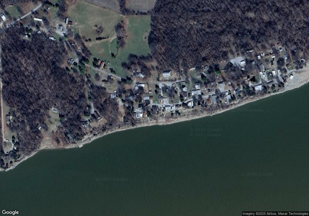
Map
Nearby Homes
- 12 Cedar Point Dr
- 470 Peters Creek Rd
- 430 N Canal St
- 2710 Hebron Church Rd
- 708 Illinois 146
- 28 Simpson Ln
- Tower Rock Rd Unit LotWP001
- 72 Shewmaker Rd
- 0 Bells Mines School Rd
- 5 Tucker Hill Rd
- 485 Peters Creek Rd
- 560 Guggenheim Rd
- 117 Broadway St
- 000 Kentucky 135 Unit (Crittenden Co. KY 7
- 0 Kentucky 135 Unit LotWP001
- 6190 State Route 365
- 5830 State Route 297
- 1682 Bridwell Loop
- 109 Patton Dr
- 160 Front St
- 18 Cedar Point Dr
- 14 Cedar Point Dr
- 20 Cedar Point Dr
- 17 Cedar Point Dr
- 9 Cedar Point Dr
- 19 Cedar Point Dr
- 10 Cedar Point Dr
- 8 Cedar Point Dr
- 24 Cedar Point Dr
- 5 Cedar Point Dr
- 28 Boyds Addition
- 38 Boyds Addition
- 25 Cedar Point Dr
- 28 Cedar Point Dr
- 33 Boyds Addition
- 4 Cedar Point Dr
- 27 Cedar Point Dr
- 29 Cedar Point Dr
- 32 Cedar Point Dr
- 34 Cedar Point Dr