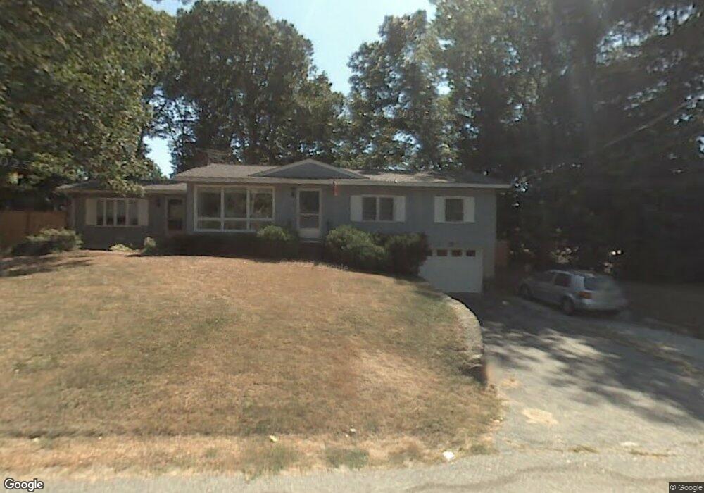
16 Center Cir Plaistow, NH 03865
Estimated Value: $507,000 - $627,000
4
Beds
2
Baths
1,603
Sq Ft
$355/Sq Ft
Est. Value
About This Home
This home is located at 16 Center Cir, Plaistow, NH 03865 and is currently estimated at $569,428, approximately $355 per square foot. 16 Center Cir is a home with nearby schools including Pollard Elementary School, Timberlane Regional Middle School, and Timberlane Regional High School.
Ownership History
Date
Name
Owned For
Owner Type
Purchase Details
Closed on
Sep 30, 2024
Sold by
Winglass Mary B
Bought by
Johnson Sara
Current Estimated Value
Purchase Details
Closed on
Jun 18, 2004
Sold by
Major Sandra A and Major Jeffrey S
Bought by
Petry Lisa M and Petry Jeffrey A
Home Financials for this Owner
Home Financials are based on the most recent Mortgage that was taken out on this home.
Original Mortgage
$249,200
Interest Rate
6.12%
Mortgage Type
Purchase Money Mortgage
Create a Home Valuation Report for This Property
The Home Valuation Report is an in-depth analysis detailing your home's value as well as a comparison with similar homes in the area
Home Values in the Area
Average Home Value in this Area
Purchase History
| Date | Buyer | Sale Price | Title Company |
|---|---|---|---|
| Johnson Sara | $583,000 | None Available | |
| Johnson Sara | $583,000 | None Available | |
| Petry Lisa M | $311,500 | -- | |
| Petry Lisa M | $311,500 | -- |
Source: Public Records
Mortgage History
| Date | Status | Borrower | Loan Amount |
|---|---|---|---|
| Previous Owner | Petry Lisa M | $30,000 | |
| Previous Owner | Petry Lisa M | $249,200 |
Source: Public Records
Tax History Compared to Growth
Tax History
| Year | Tax Paid | Tax Assessment Tax Assessment Total Assessment is a certain percentage of the fair market value that is determined by local assessors to be the total taxable value of land and additions on the property. | Land | Improvement |
|---|---|---|---|---|
| 2024 | $6,753 | $325,900 | $132,700 | $193,200 |
| 2023 | $7,281 | $325,900 | $132,700 | $193,200 |
| 2022 | $6,195 | $325,900 | $132,700 | $193,200 |
| 2021 | $6,179 | $325,900 | $132,700 | $193,200 |
| 2020 | $6,524 | $301,350 | $109,750 | $191,600 |
| 2019 | $6,422 | $301,350 | $109,750 | $191,600 |
| 2018 | $5,908 | $240,260 | $92,560 | $147,700 |
| 2017 | $5,757 | $240,260 | $92,560 | $147,700 |
| 2016 | $5,406 | $240,260 | $92,560 | $147,700 |
| 2015 | $5,826 | $241,140 | $113,640 | $127,500 |
| 2014 | $5,232 | $208,180 | $95,780 | $112,400 |
| 2011 | $5,144 | $208,180 | $95,780 | $112,400 |
Source: Public Records
Map
Nearby Homes
- 34 Bel's Way
- 6 Palmer Ave
- 5 Whiton Place
- 28 Westville Rd
- 5 Kimball Ave
- 207 Oak Ridge Rd
- 201 Oak Ridge Rd
- 5 Sequoia Ln
- 15 Canterbury Forest Unit B
- 193 Main St
- 22 W Pine St
- 28 Forrest St
- 55 Sweet Hill Rd
- 17 Walton Rd
- 3 Shady Ln
- 5 Shady Ln
- 4 Shady Ln
- 9 Crane Crossing Rd Unit 6-1
- 98 Sweet Hill Rd
- 13 Cottonwood Rd