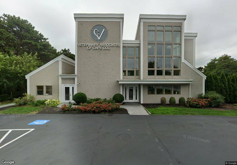
16 Commonwealth Ave South Yarmouth, MA 2664
Estimated Value: $1,959,759
--
Bed
--
Bath
6,754
Sq Ft
$290/Sq Ft
Est. Value
About This Home
This home is located at 16 Commonwealth Ave, South Yarmouth, MA 2664 and is currently estimated at $1,959,759, approximately $290 per square foot. 16 Commonwealth Ave is a home located in Barnstable County with nearby schools including Dennis-Yarmouth Regional High School and St. Pius X. School.
Ownership History
Date
Name
Owned For
Owner Type
Purchase Details
Closed on
Apr 1, 2005
Sold by
Animal Hospital T and Labdon Janet P
Bought by
16 Commonwealth Ave Rt and Burns Thomas M
Current Estimated Value
Home Financials for this Owner
Home Financials are based on the most recent Mortgage that was taken out on this home.
Original Mortgage
$950,000
Outstanding Balance
$484,818
Interest Rate
5.61%
Mortgage Type
Commercial
Estimated Equity
$1,474,941
Create a Home Valuation Report for This Property
The Home Valuation Report is an in-depth analysis detailing your home's value as well as a comparison with similar homes in the area
Home Values in the Area
Average Home Value in this Area
Purchase History
| Date | Buyer | Sale Price | Title Company |
|---|---|---|---|
| 16 Commonwealth Ave Rt | $1,000,000 | -- |
Source: Public Records
Mortgage History
| Date | Status | Borrower | Loan Amount |
|---|---|---|---|
| Open | 16 Commonwealth Ave Rt | $950,000 |
Source: Public Records
Tax History Compared to Growth
Tax History
| Year | Tax Paid | Tax Assessment Tax Assessment Total Assessment is a certain percentage of the fair market value that is determined by local assessors to be the total taxable value of land and additions on the property. | Land | Improvement |
|---|---|---|---|---|
| 2025 | $8,940 | $1,262,700 | $341,400 | $921,300 |
| 2024 | $9,319 | $1,262,700 | $341,400 | $921,300 |
| 2023 | $8,737 | $1,077,300 | $258,300 | $819,000 |
| 2022 | $9,019 | $982,500 | $163,500 | $819,000 |
| 2021 | $9,393 | $982,500 | $163,500 | $819,000 |
| 2020 | $9,826 | $982,600 | $121,300 | $861,300 |
| 2019 | $9,924 | $982,600 | $121,300 | $861,300 |
| 2018 | $10,111 | $982,600 | $121,300 | $861,300 |
| 2017 | $9,846 | $982,600 | $121,300 | $861,300 |
| 2016 | $7,583 | $759,800 | $121,300 | $638,500 |
| 2015 | $4,911 | $489,100 | $122,000 | $367,100 |
Source: Public Records
Map
Nearby Homes
- 0 Forsyth Ave
- 16 Warren Rd Unit 16
- 16 Warren Rd
- 33 Sparrow Way
- 176 Beacon St
- 30 Quartermaster Row
- 97 Astor Way
- 72 Quartermaster Row
- 8 Rowley Ln
- 14 Many Oaks Cir
- 76 Captain Chase Rd
- 32 Deveau Ln
- 40 Deveau Ln
- 1 Winsome Rd
- 140 Diane Ave
- 38 N Dennis Rd
- 97 Captain Bacon Rd
- 209 Union St
- 68 Seminole Dr
- 4 Old Colony Way
- 24 Commonwealth Ave
- 9 Commonwealth Ave
- 8 Huntington Ave
- 18 Huntington Ave
- 2 Huntington Ave
- 127 Whites Path
- 28 Huntington Ave
- 41 Commonwealth Ave
- 11 Huntington Ave
- 107 Whites Path
- 1 Huntington Ave
- 23 Huntington Ave
- 46 Commonwealth Ave
- 46 Commonwealth Ave Unit 6
- 46 Commonwealth Ave Unit 5
- 46 Commonwealth Ave Unit 4
- 46 Commonwealth Ave Unit 2
- 46 Commonwealth Ave Unit 1
- 46 Commonwealth Ave Unit 3
- 46 Commonwealth Ave