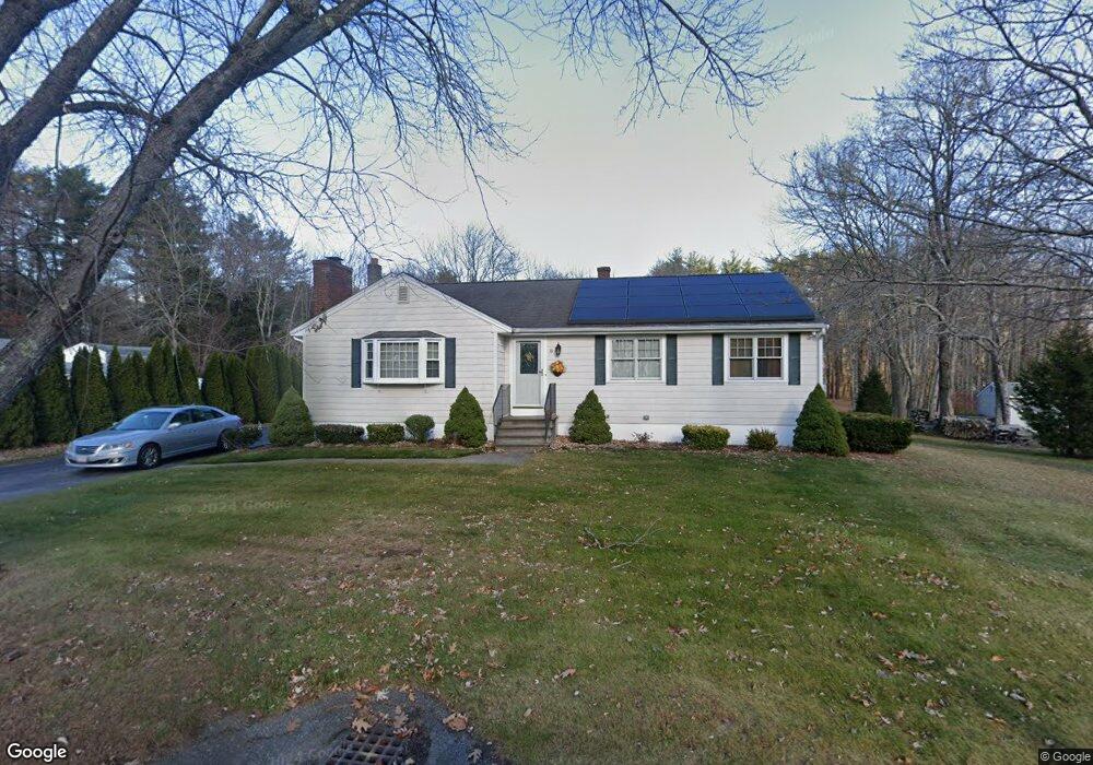
16 Cushing St Salisbury, MA 01952
Estimated Value: $530,000 - $560,000
4
Beds
1
Bath
1,320
Sq Ft
$414/Sq Ft
Est. Value
About This Home
This home is located at 16 Cushing St, Salisbury, MA 01952 and is currently estimated at $546,775, approximately $414 per square foot. 16 Cushing St is a home located in Essex County with nearby schools including Triton Regional High School and Immaculate Conception School.
Ownership History
Date
Name
Owned For
Owner Type
Purchase Details
Closed on
Jan 17, 2025
Sold by
Sallinger Ft and Sallinger
Bought by
Sallinger Ft and Sallinger
Current Estimated Value
Purchase Details
Closed on
Aug 21, 2017
Sold by
Sallinger Elmer E and Sallinger Lucille M
Bought by
Sallinger Ft and Sallinger
Create a Home Valuation Report for This Property
The Home Valuation Report is an in-depth analysis detailing your home's value as well as a comparison with similar homes in the area
Home Values in the Area
Average Home Value in this Area
Purchase History
| Date | Buyer | Sale Price | Title Company |
|---|---|---|---|
| Sallinger Ft | -- | None Available | |
| Sallinger Ft | -- | None Available | |
| Sallinger Ft | -- | None Available | |
| Sallinger Ft | -- | -- | |
| Sallinger Ft | -- | -- |
Source: Public Records
Tax History
| Year | Tax Paid | Tax Assessment Tax Assessment Total Assessment is a certain percentage of the fair market value that is determined by local assessors to be the total taxable value of land and additions on the property. | Land | Improvement |
|---|---|---|---|---|
| 2025 | $4,163 | $413,000 | $177,900 | $235,100 |
| 2024 | $4,189 | $400,900 | $177,900 | $223,000 |
| 2023 | $4,068 | $376,700 | $177,900 | $198,800 |
| 2022 | $4,003 | $359,300 | $160,500 | $198,800 |
| 2021 | $3,933 | $349,300 | $160,500 | $188,800 |
| 2020 | $3,612 | $315,200 | $160,500 | $154,700 |
| 2019 | $3,518 | $296,600 | $156,600 | $140,000 |
| 2018 | $3,416 | $290,000 | $150,000 | $140,000 |
| 2017 | $3,192 | $267,800 | $134,800 | $133,000 |
| 2016 | $3,130 | $268,200 | $130,400 | $137,800 |
| 2015 | $2,956 | $251,600 | $121,300 | $130,300 |
Source: Public Records
Map
Nearby Homes
- 2 True Rd
- 55 Lafayette Rd
- 9 Meadowview Ln Unit A
- 14 Meadowview Ln Unit B
- 16 Meadowview Ln Unit B
- 14 Seabrook Rd
- 42 Kendell Ln
- 57 Baker Rd
- 154 Lafayette Rd
- 48 Beach Rd Unit C
- 25 Bayberry Ln
- 191 Elm St
- 3 Lighthouse Cir Unit A
- 7 Toll Rd
- 6 Mason Ln
- 44 Seabrook Rd
- 188 Lafayette Rd
- 53 Rabbit Rd
- 86 Ferry Rd
- 84 Forest Rd
Your Personal Tour Guide
Ask me questions while you tour the home.