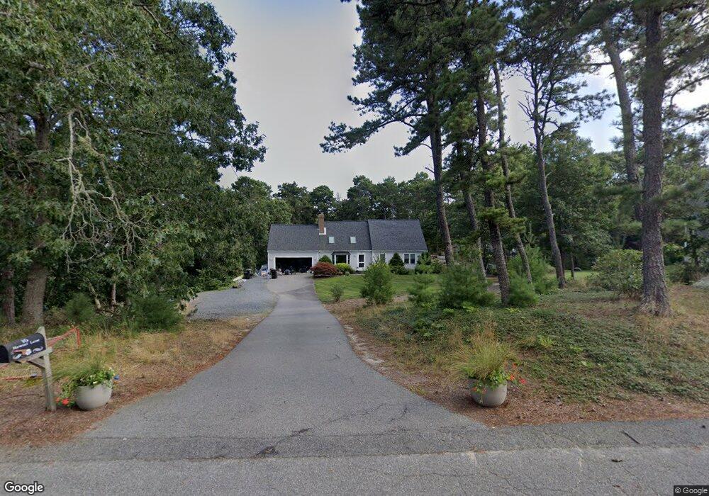
16 Hawser Ln Brewster, MA 02631
Estimated Value: $928,355 - $1,046,000
4
Beds
3
Baths
2,150
Sq Ft
$451/Sq Ft
Est. Value
About This Home
This home is located at 16 Hawser Ln, Brewster, MA 02631 and is currently estimated at $970,339, approximately $451 per square foot. 16 Hawser Ln is a home located in Barnstable County with nearby schools including Stony Brook Elementary School, Eddy Elementary School, and Nauset Regional Middle School.
Ownership History
Date
Name
Owned For
Owner Type
Purchase Details
Closed on
Jul 15, 2009
Sold by
J R & Mc Mims Ret
Bought by
Wile Joshua C and Wile Meaghan M
Current Estimated Value
Home Financials for this Owner
Home Financials are based on the most recent Mortgage that was taken out on this home.
Original Mortgage
$348,000
Interest Rate
5.31%
Mortgage Type
Purchase Money Mortgage
Purchase Details
Closed on
Nov 1, 1988
Sold by
Seidenberg Neal D
Bought by
Fryzel Karl P
Home Financials for this Owner
Home Financials are based on the most recent Mortgage that was taken out on this home.
Original Mortgage
$442,000
Interest Rate
10.32%
Mortgage Type
Purchase Money Mortgage
Create a Home Valuation Report for This Property
The Home Valuation Report is an in-depth analysis detailing your home's value as well as a comparison with similar homes in the area
Home Values in the Area
Average Home Value in this Area
Purchase History
| Date | Buyer | Sale Price | Title Company |
|---|---|---|---|
| Wile Joshua C | $435,000 | -- | |
| Fryzel Karl P | $235,000 | -- |
Source: Public Records
Mortgage History
| Date | Status | Borrower | Loan Amount |
|---|---|---|---|
| Open | Fryzel Karl P | $364,000 | |
| Closed | Wile Joshua C | $348,000 | |
| Previous Owner | Fryzel Karl P | $442,000 | |
| Previous Owner | Fryzel Karl P | $160,000 |
Source: Public Records
Tax History Compared to Growth
Tax History
| Year | Tax Paid | Tax Assessment Tax Assessment Total Assessment is a certain percentage of the fair market value that is determined by local assessors to be the total taxable value of land and additions on the property. | Land | Improvement |
|---|---|---|---|---|
| 2025 | $5,476 | $796,000 | $262,000 | $534,000 |
| 2024 | $5,163 | $758,100 | $247,200 | $510,900 |
| 2023 | $4,737 | $677,700 | $220,600 | $457,100 |
| 2022 | $4,484 | $571,200 | $183,800 | $387,400 |
| 2021 | $4,257 | $496,200 | $159,800 | $336,400 |
| 2020 | $4,166 | $483,300 | $159,800 | $323,500 |
| 2019 | $4,506 | $465,700 | $153,700 | $312,000 |
| 2018 | $3,780 | $457,600 | $153,700 | $303,900 |
| 2017 | $3,771 | $438,700 | $153,700 | $285,000 |
| 2016 | $3,550 | $421,100 | $150,700 | $270,400 |
| 2015 | $3,401 | $411,800 | $147,700 | $264,100 |
Source: Public Records
Map
Nearby Homes
- 0 Partridge
- 153 Red Fawn Rd
- 190 Blueberry Pond Dr
- 410 Blueberry Pond Dr
- 261 Linnell Landing Rd Unit 4
- 261 Linnell Landing Rd Unit 2
- 261 Linnell Landing Rd Unit 1
- 166 Highland Moors Dr
- 277 Lund Farm Way
- 195 Ellis Landing Rd
- 100 Fletcher Ln Unit E
- 81 Fletcher Ln Unit I
- 81 Fletcher Ln Unit C
- 80 Fletcher Ln Unit E
- 126 Bittersweet Dr
- 60 Fletcher Ln Unit H
- 60 Fletcher Ln Unit C
- 61 Fletcher Ln Unit H
- 30 Hawser Ln
- 212 King Phillip Rd
- 6 Hawser Ln
- 0 Hawser Ln
- 200 King Phillip Rd
- 15 Hawser Ln
- 188 King Phillip Rd
- 29 Hawser Ln
- 209 King Phillip Rd
- 7 Badger Ln
- 176 King Phillip Rd
- 248 King Phillip Rd
- 0 Badger Ln
- 187 King Phillip Rd
- 24 Bullrake Ln
- 19 Badger Ln
- 245 King Phillip Rd
- 170 King Phillip Rd
- 20 Corncob Ln
- 31 Badger Ln